GO TO:
|
Army Corps
of Engineers Historical Pictures Courtesy of the Corps of Engineers |
||
 |
 |
 |
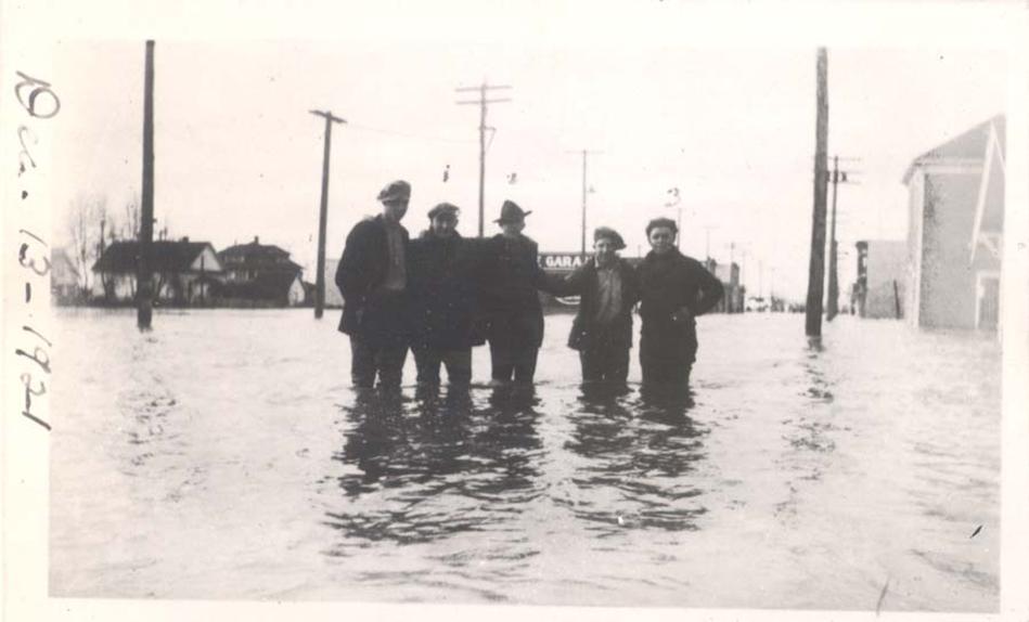
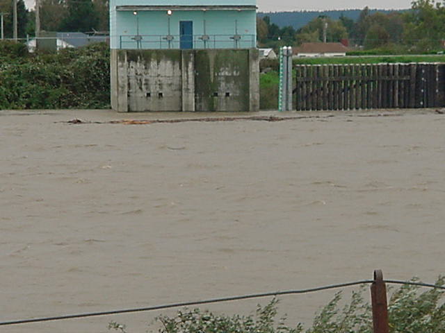
| Downtown Burlington in 1917 Flood | Downtown Burlington in 1921 Flood | Houses right up against levees that can fail (November 1949 Flood) |
 |
 |
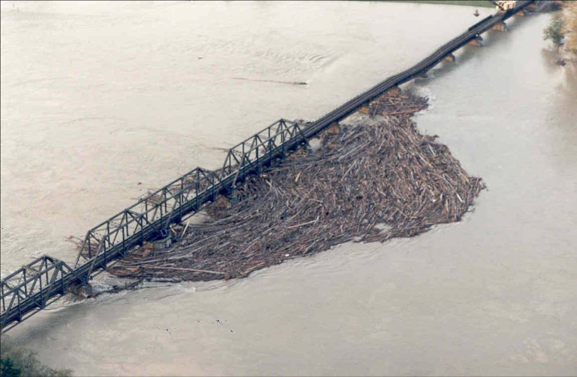 |
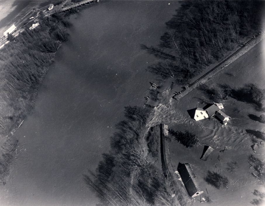
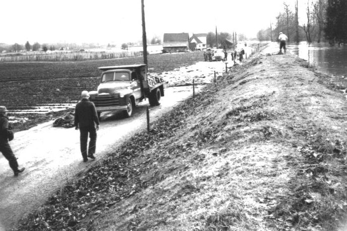
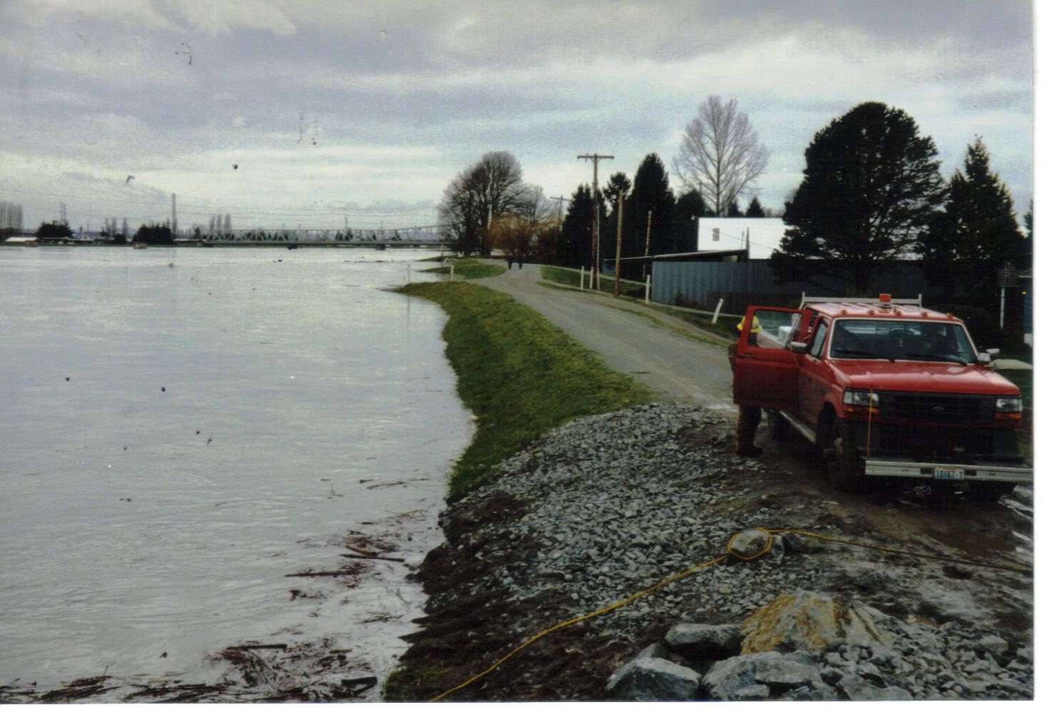
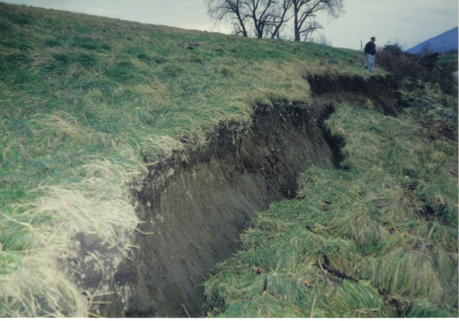
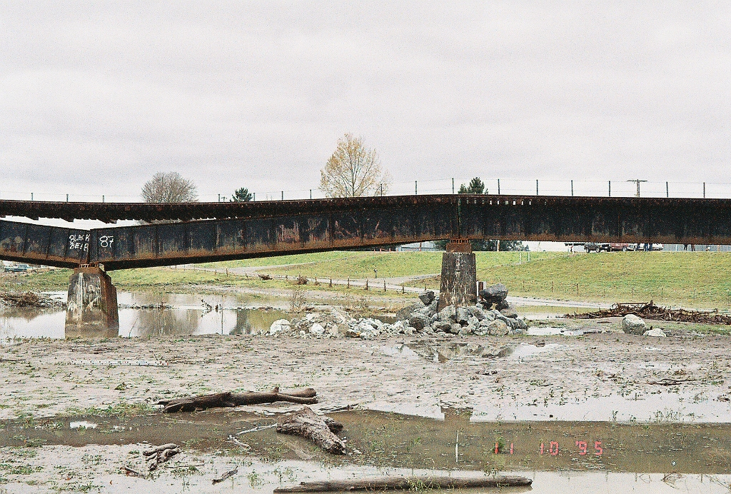
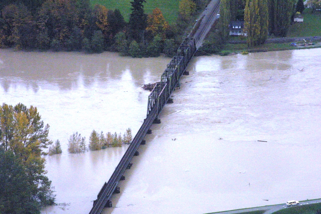
| Fir Island Levee Failures in February 1951 | Fir Island Dike Breach, 1990 | Burlington Northern Railroad Bridge in November 1995 Flood |
 |
 |
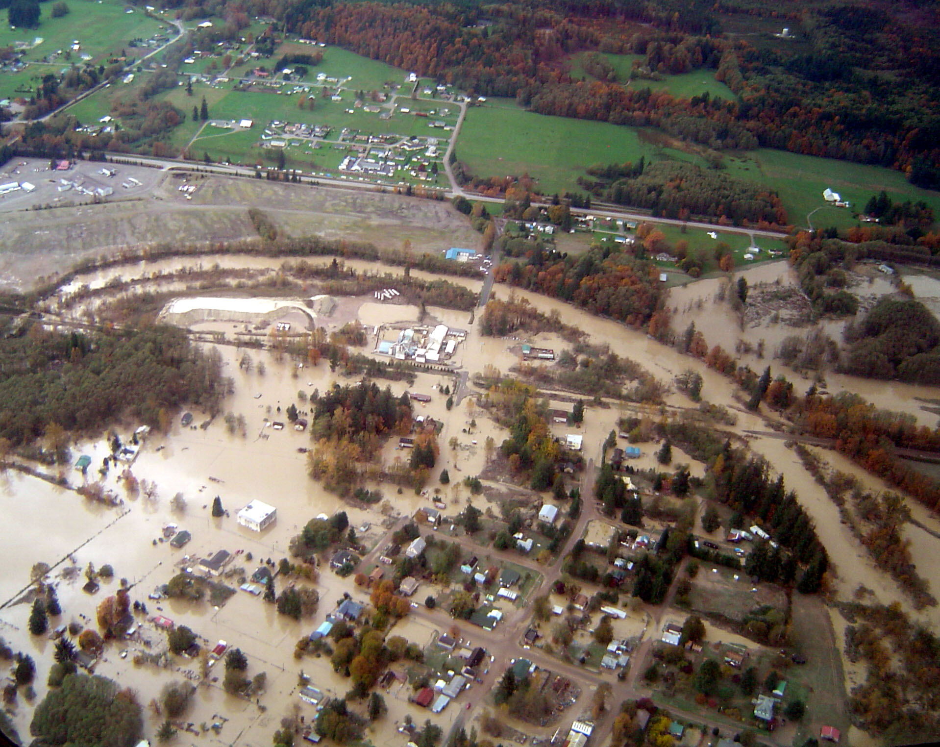 |
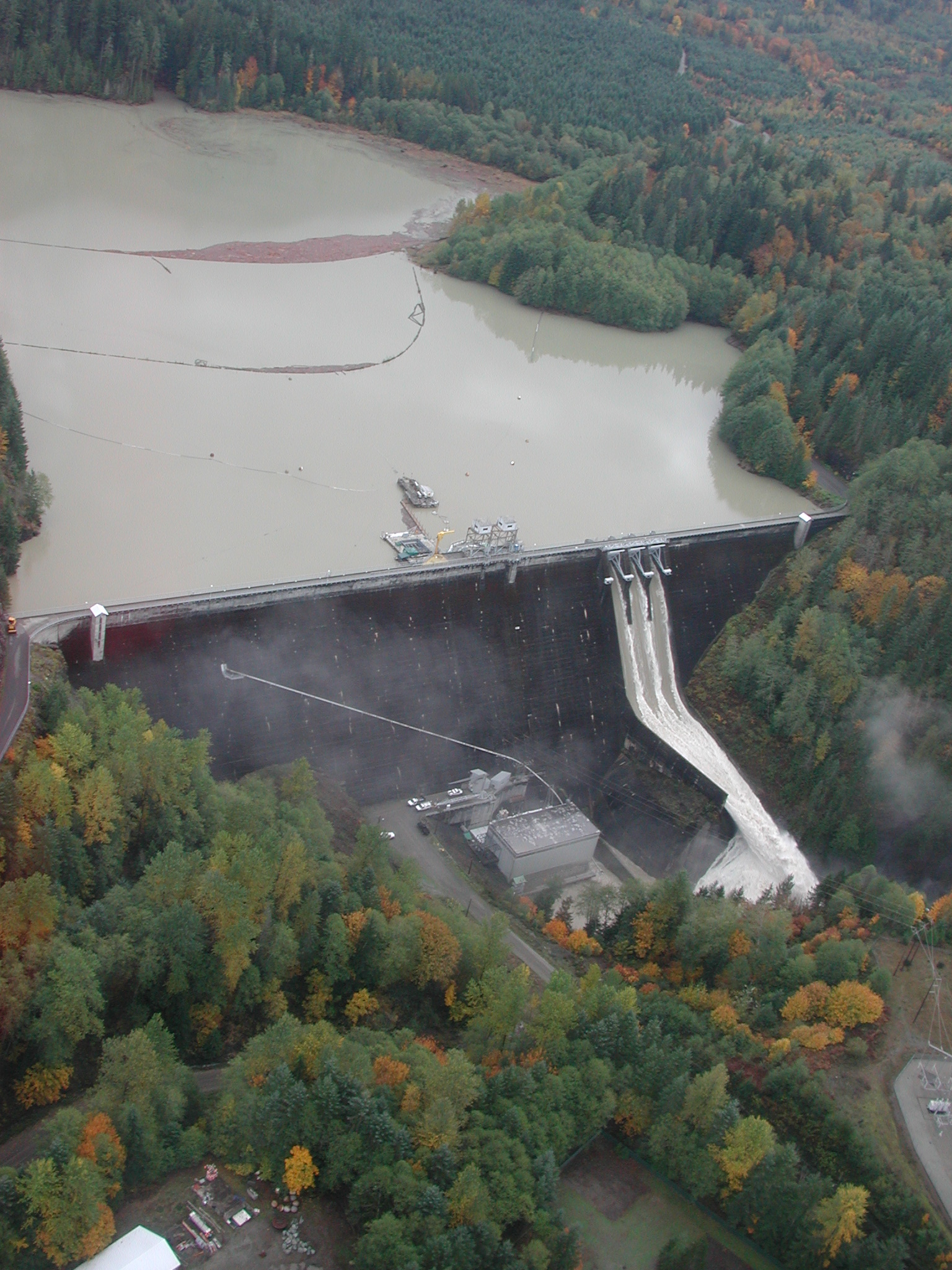
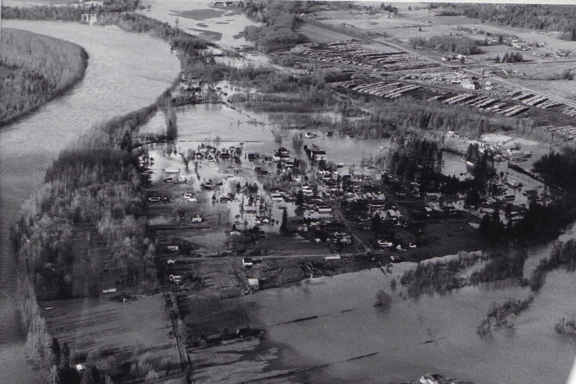
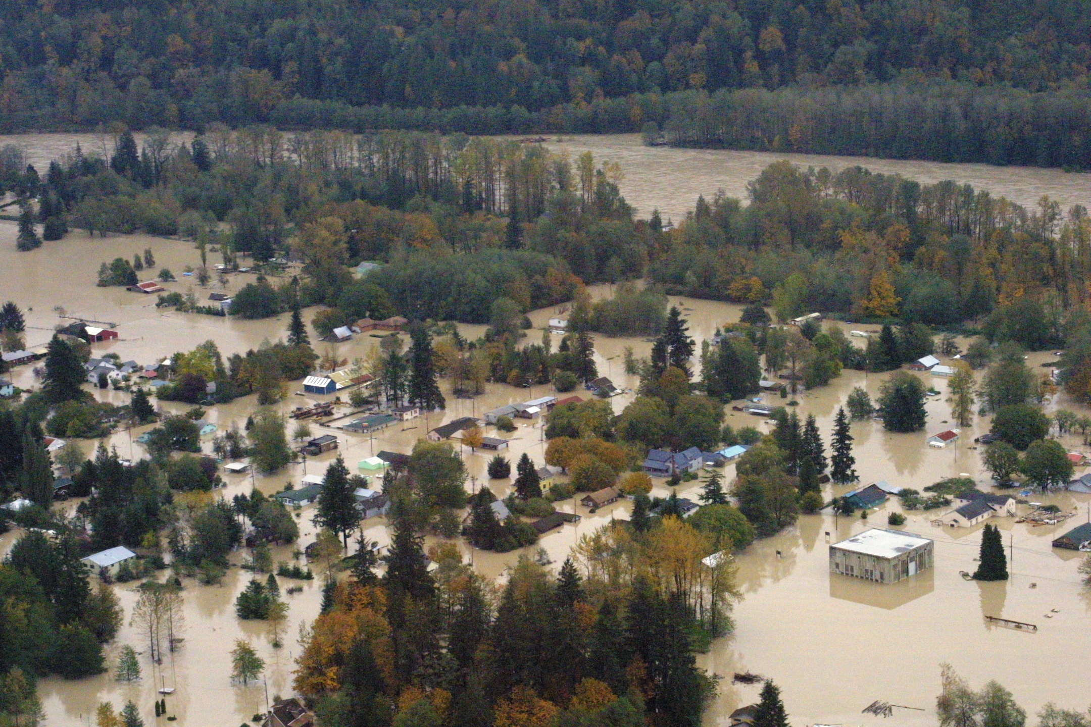
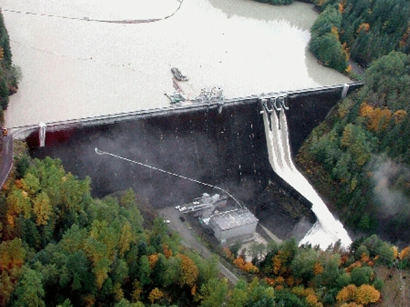
| October 2003 Landslide near Newhalem | Upper Baker Dam October 2003 | Town of Hamilton October 2003 Flood |
|
|
 |
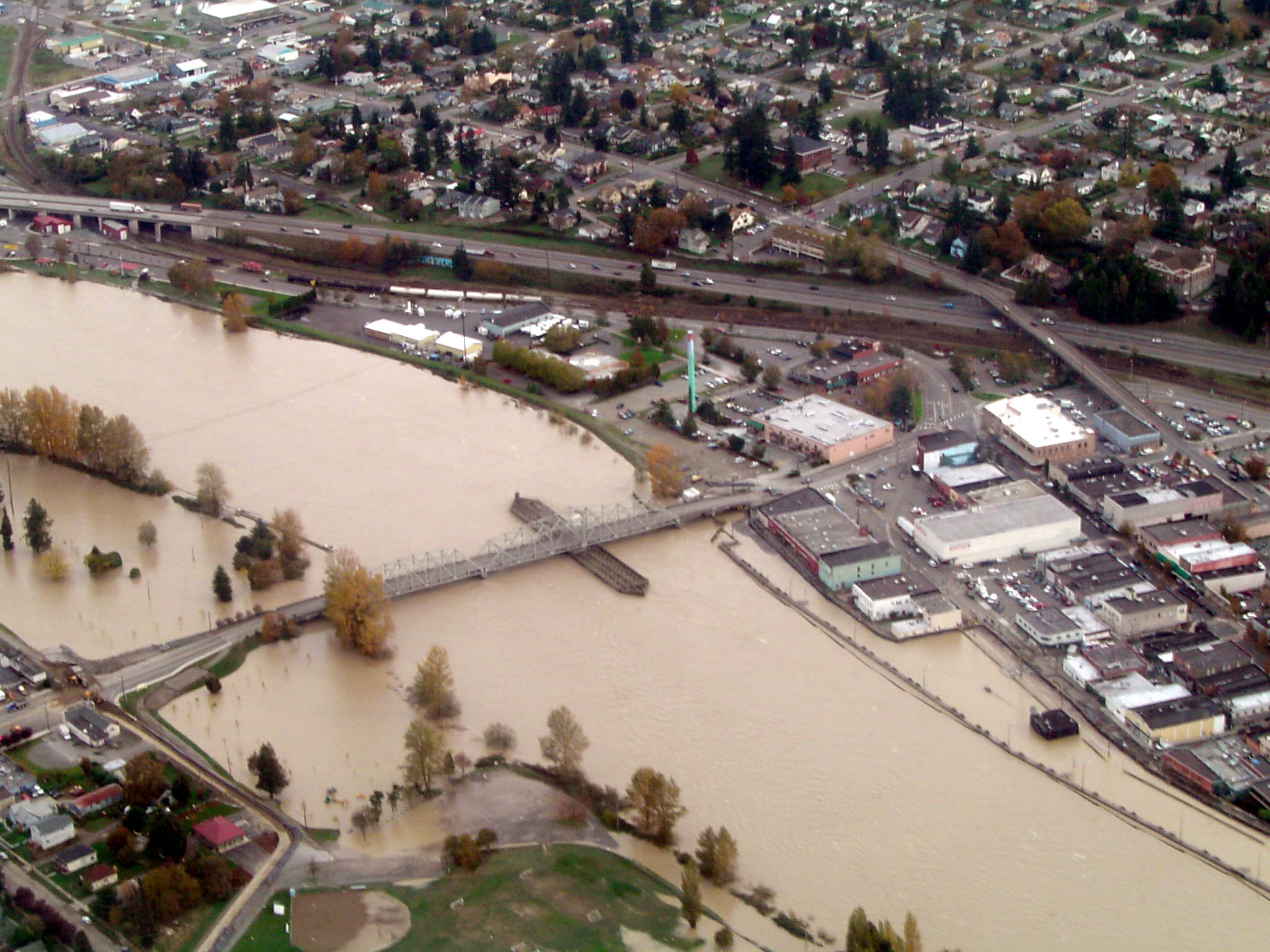 |
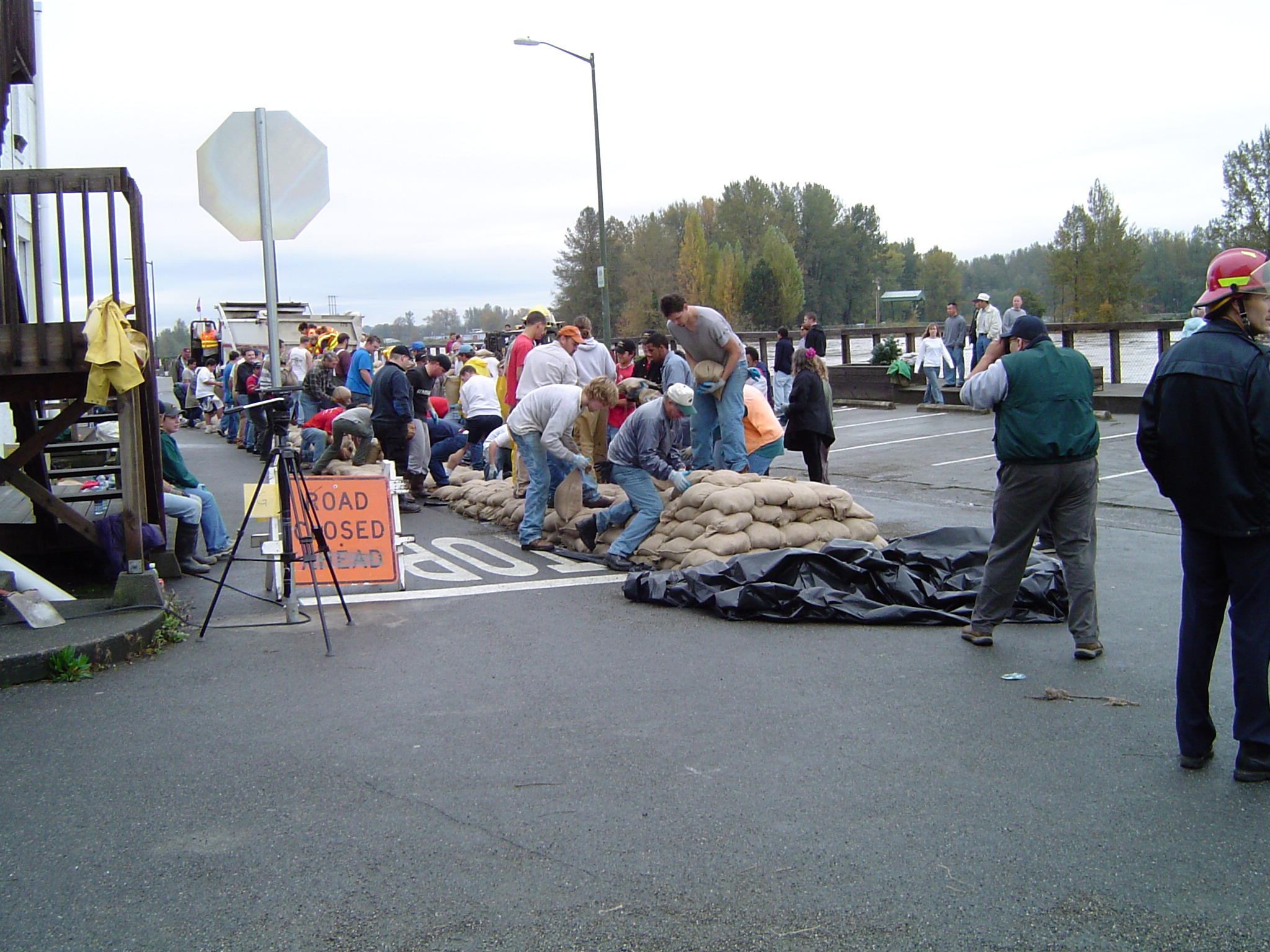
| Hamilton October 2003 Flood Line | Building Sandbag Wall in Downtown Mount Vernon 2003 | Downtown Mount Vernon October 2003 Flood |
 |
||
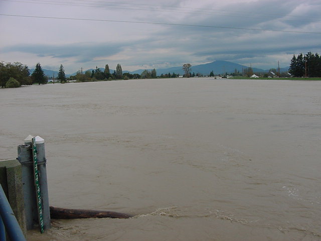
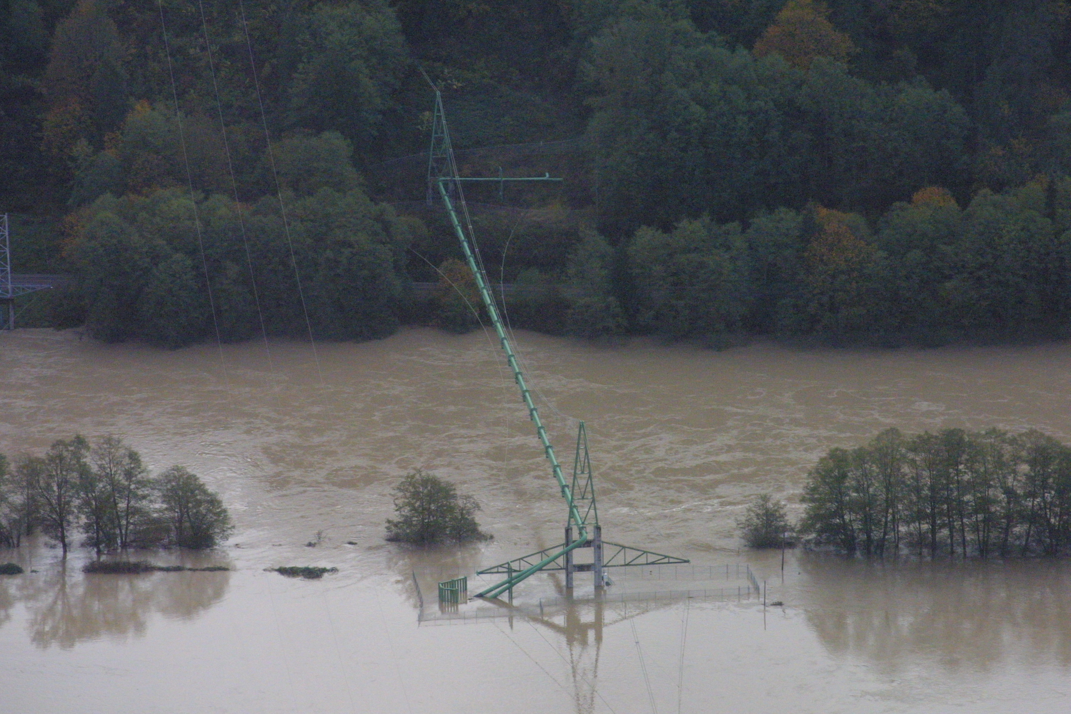
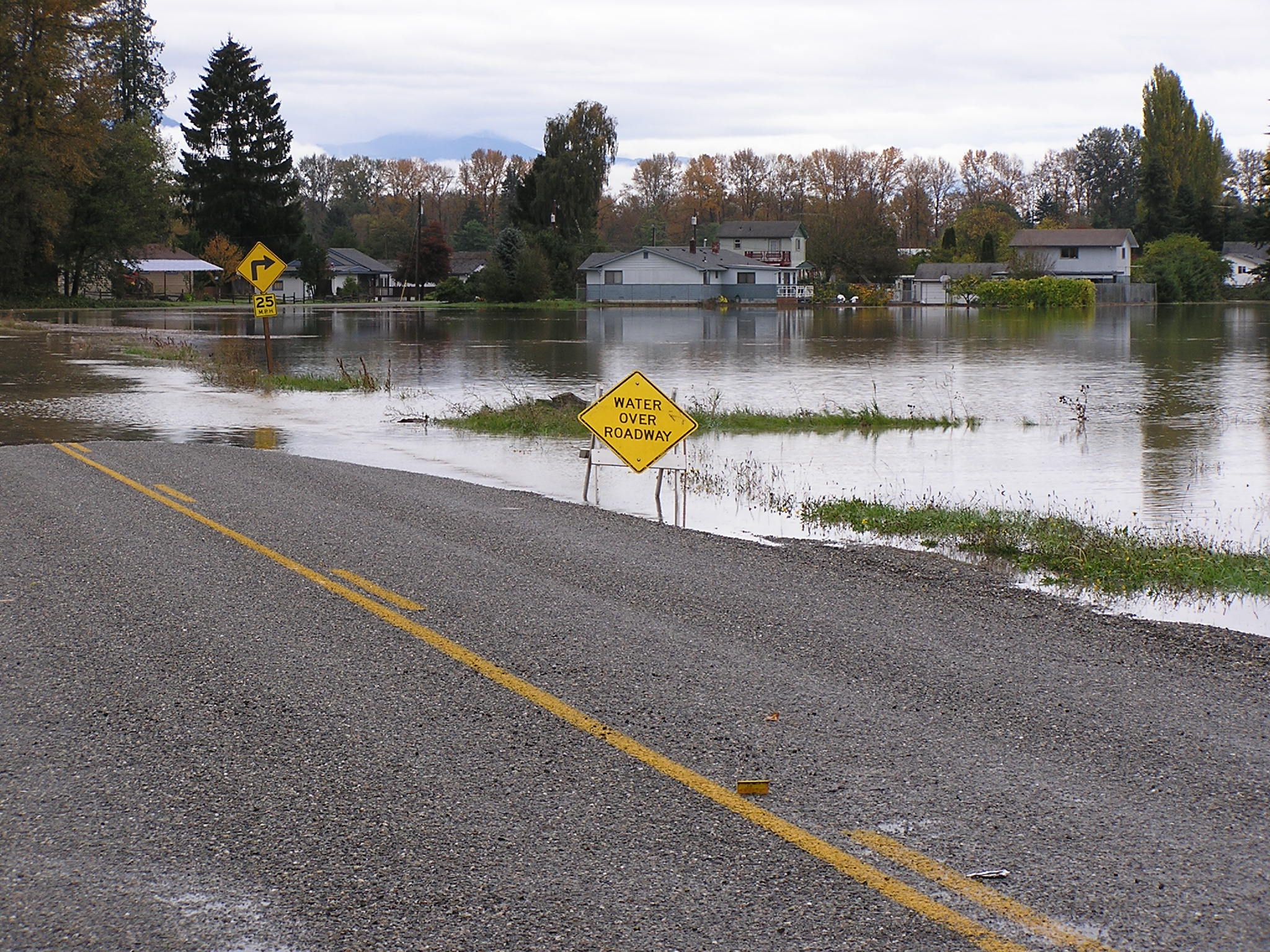
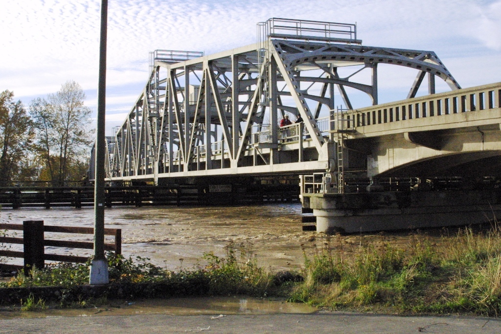
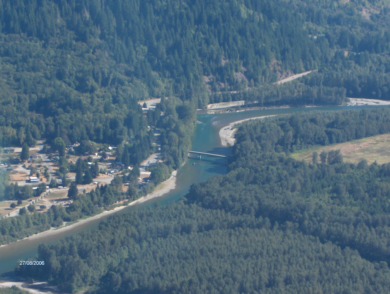
| South Fork Skagit River Bridge at Fir Island Road in October 2003 Flood | ||
| For the story behind the pictures - please go HERE and search our document & historical newspaper archives. | ||
|
Clear Lake Historical Association Pictures Courtesy of Deanna Ammons |
||
 |
 |
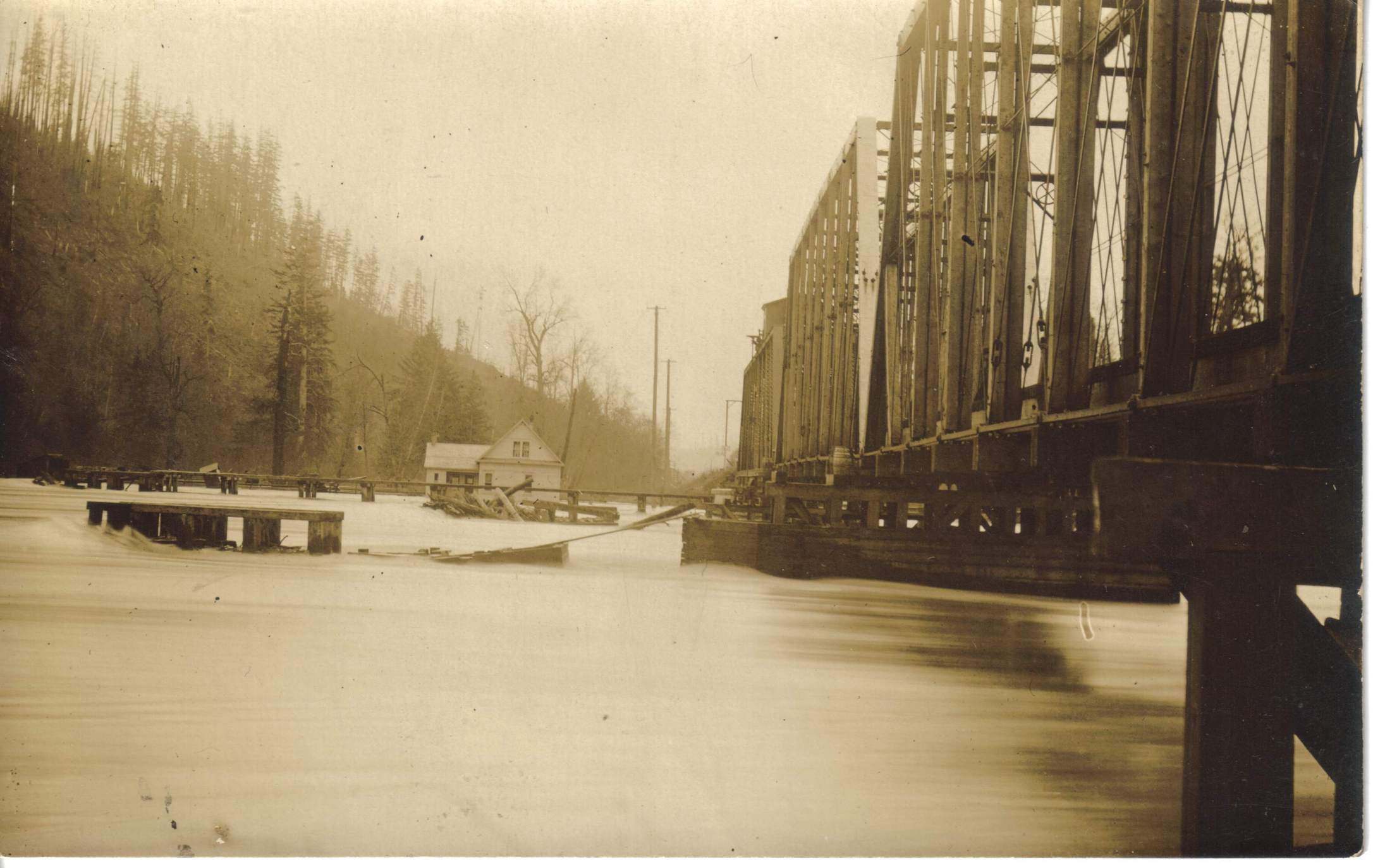 |
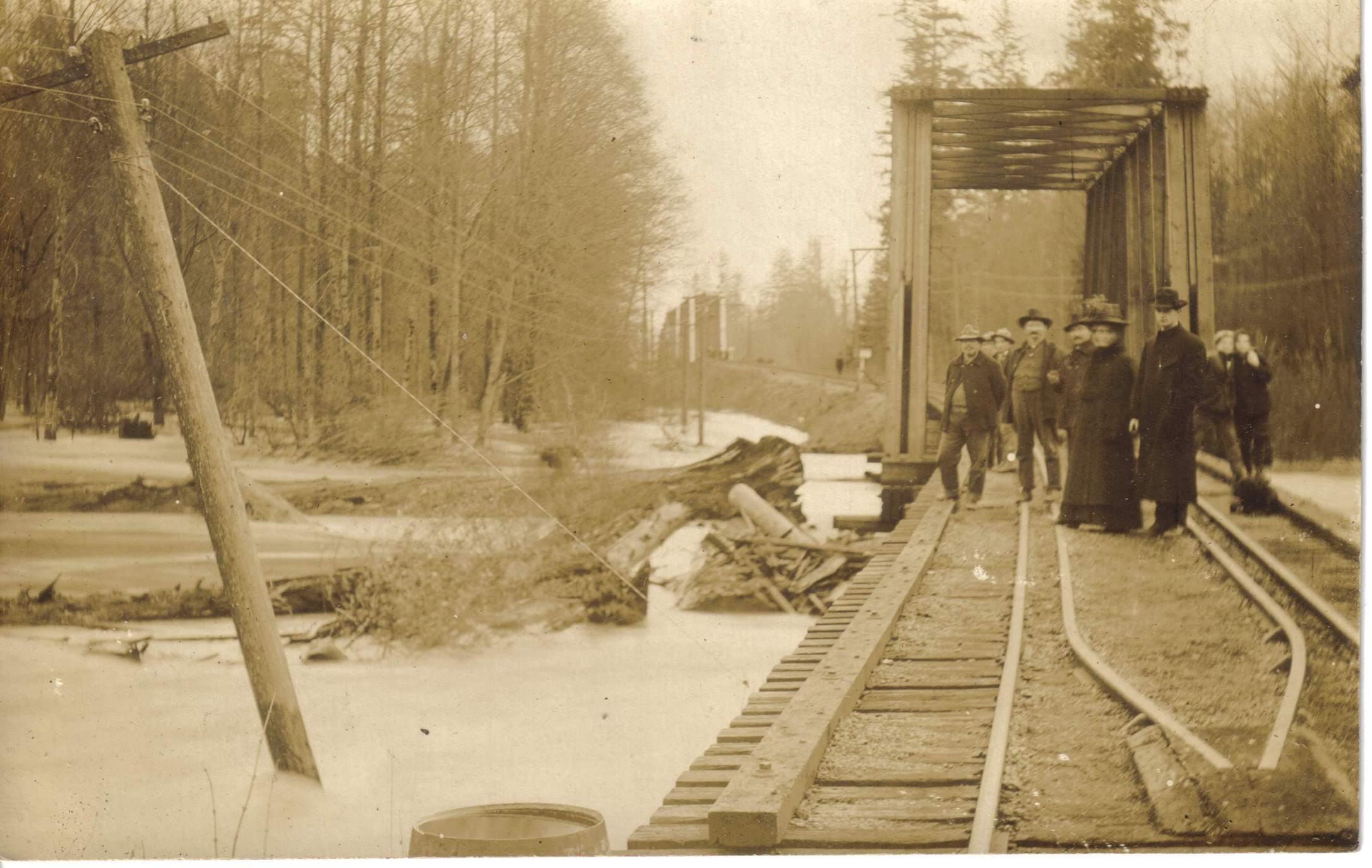
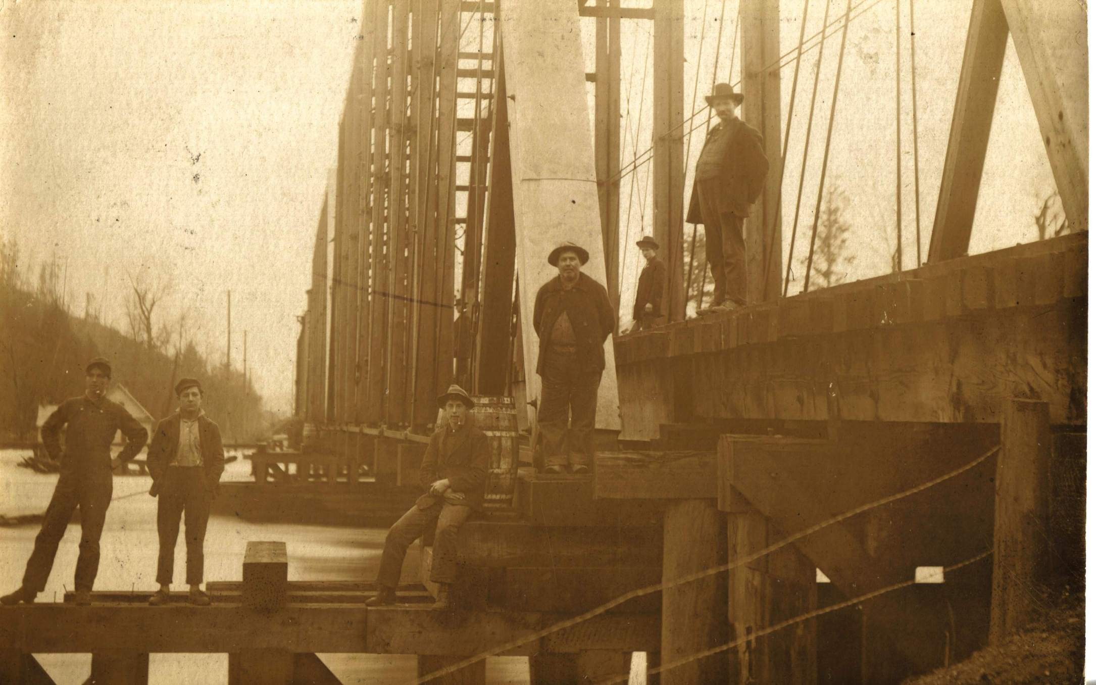
| 1909 Flood - looking south from Beatty's Slough towards the Sedro-Woolley Rail Road Bridge | 1909 Flood - Northern Pacific Railroad Bridge at Sedro-Woolley | 1909 Flood - Northern Pacific Railroad Bridge at Sedro-Woolley |
| For the story behind the pictures - please go HERE and search our document & historical newspaper archives. | ||
|
Fox Collection Historical
Pictures Unless specified otherwise - pictures are of Mount Vernon | ||
 |
 |
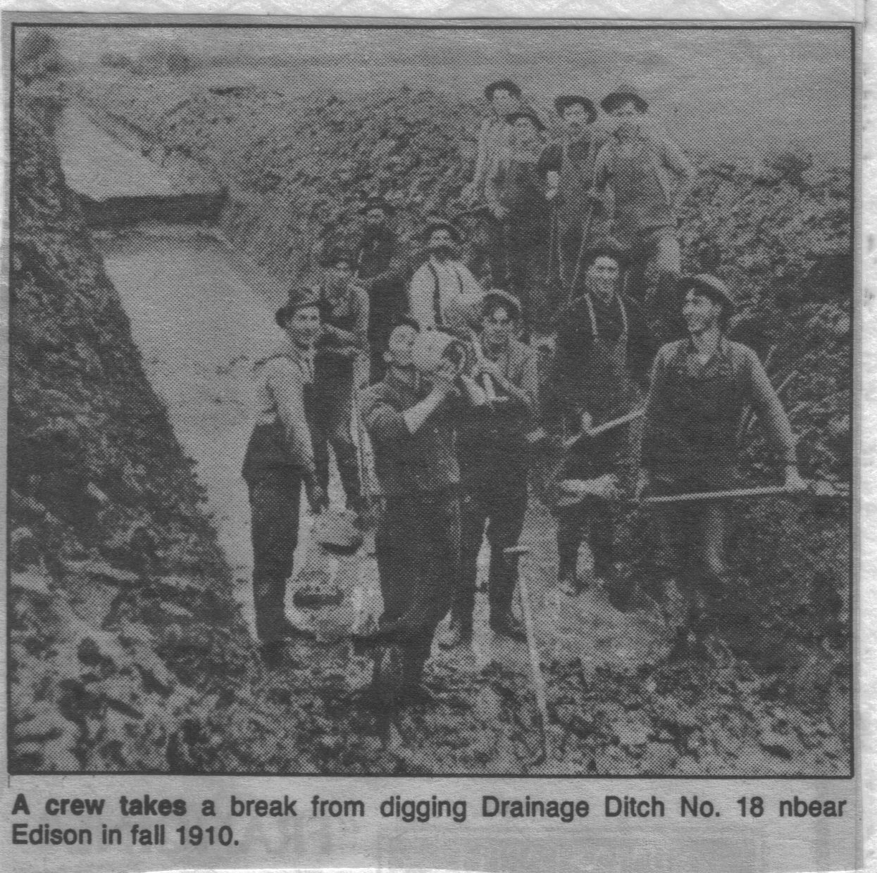 |
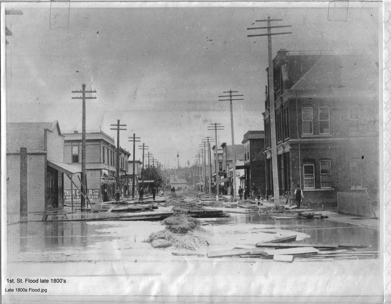
| 1st St. Flood, late 1800s | 1st Street - 1894 or 1897 | 1910 - Digging Drainage Ditch No. 18 |
 |
 |
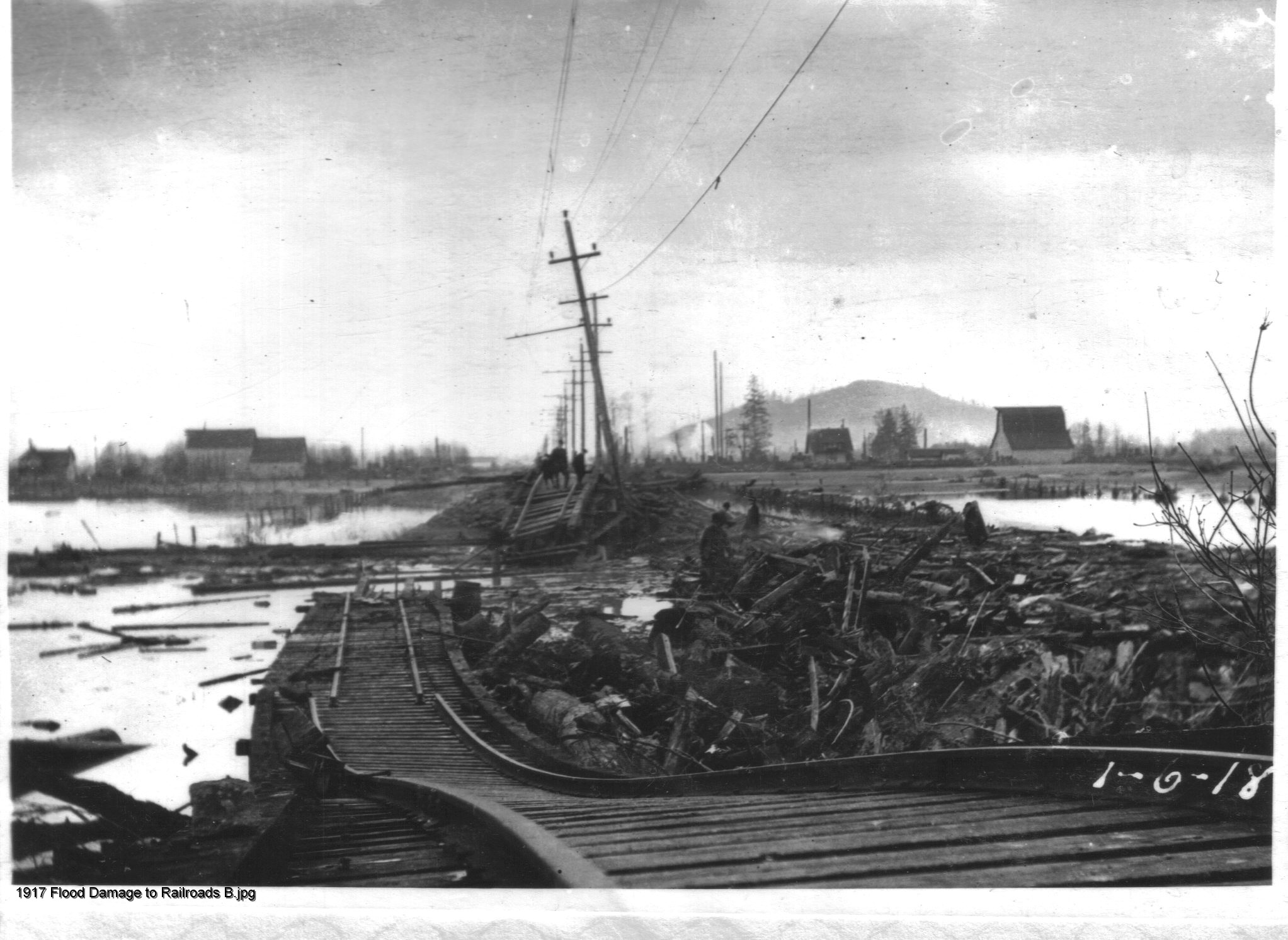 |
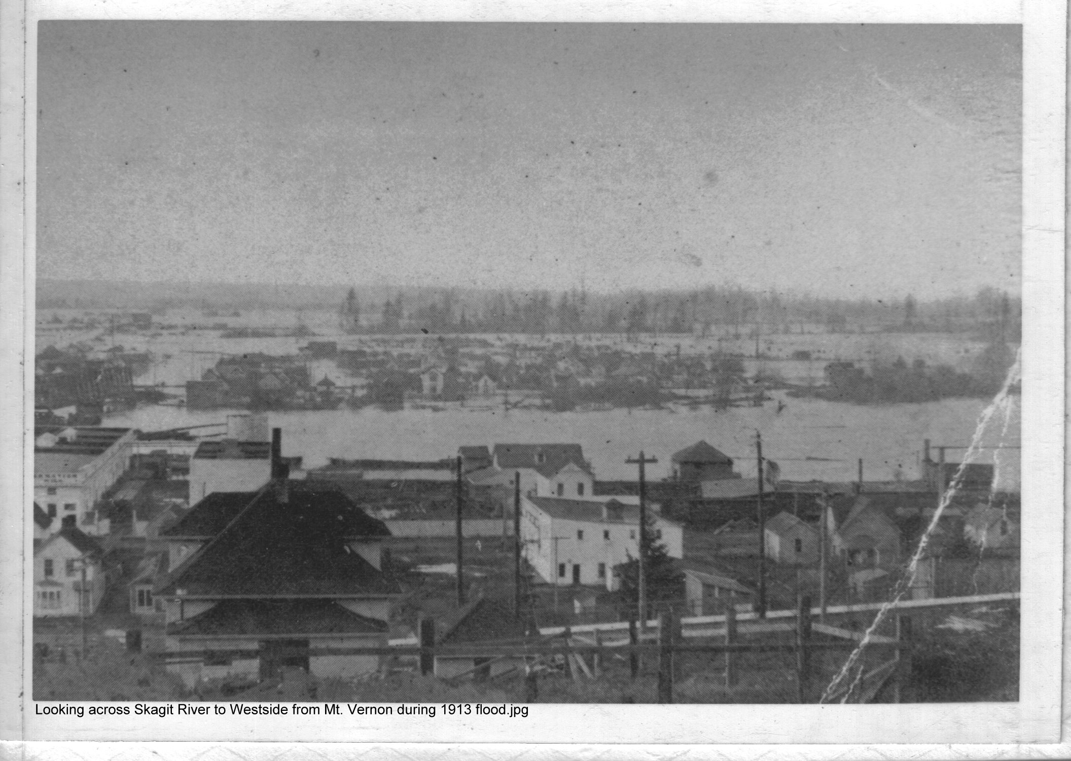
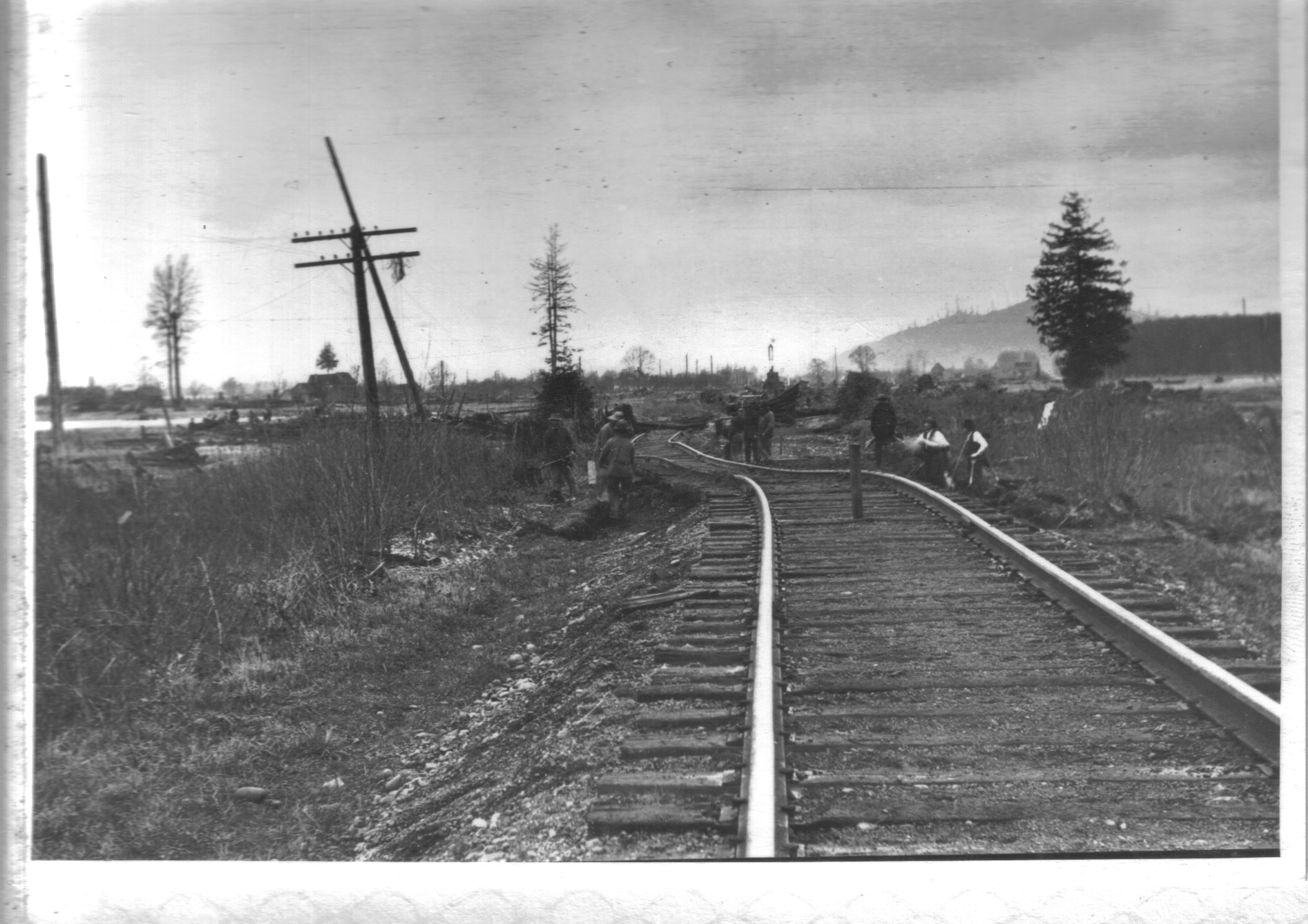
| Looking Across Skagit River to Westside From Mt. Vernon During 1913 Flood | 1917 Flood Damage to Railroads A | 1917 Flood Damage to Railroads B |
 |
 |
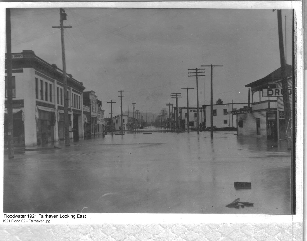 |
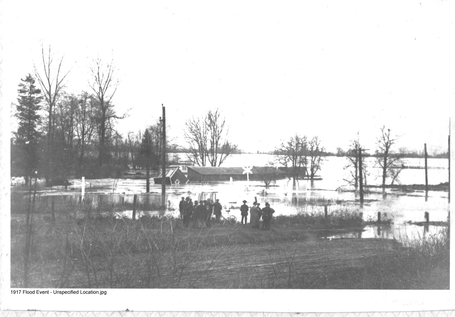
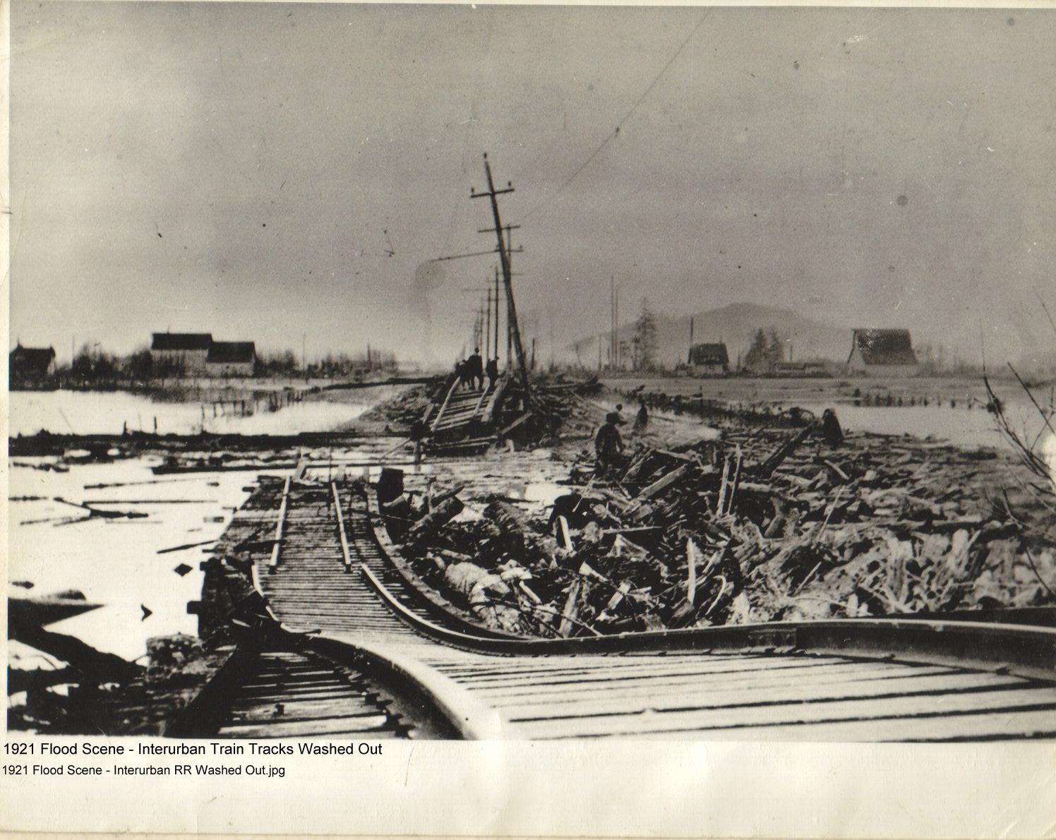
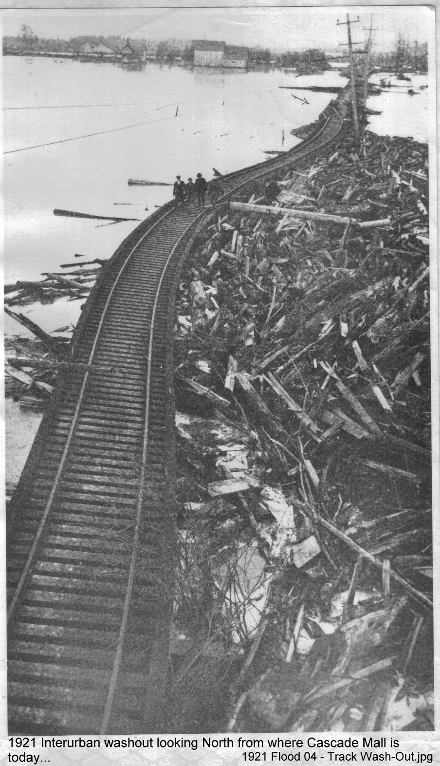
| 1917 Flood Event - Unspecified Location | 1921 Flood - Interurban RR Washed Out | 1921 Flood - Fairhaven, Burlington |
 |
 |
 |
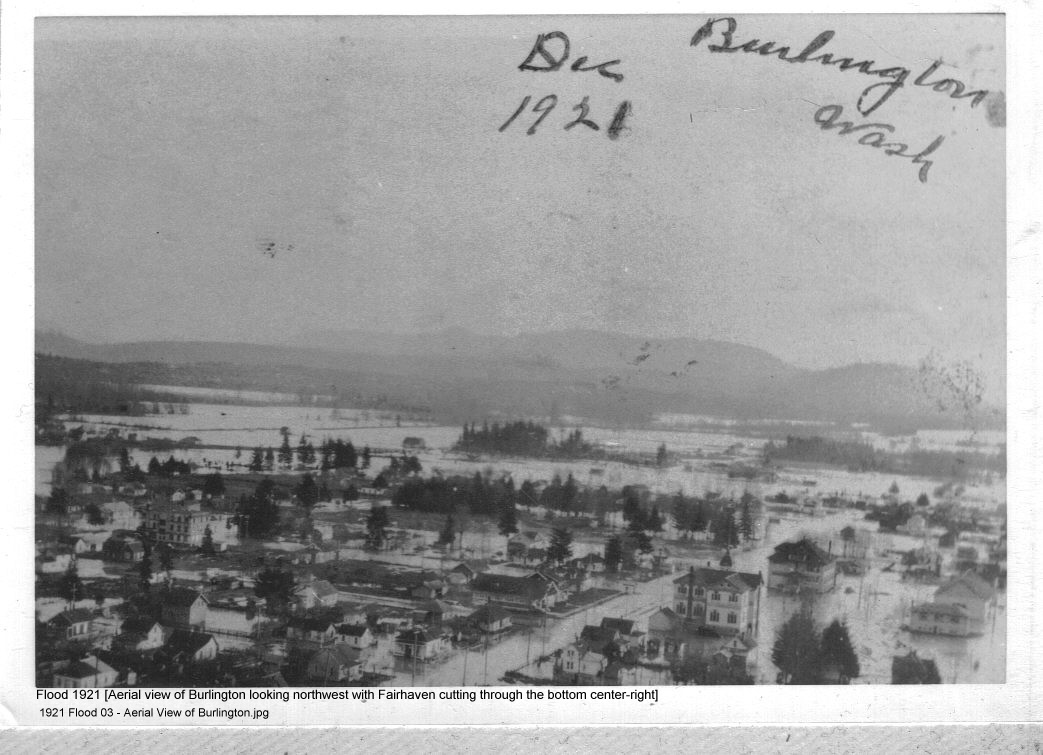
| 1921 Flood - Aerial View of Burlington | 1921 Flood - Interurban Washed Out | 1921 Flood - Fairhaven Looking West (in Burlington) |
 |
 |
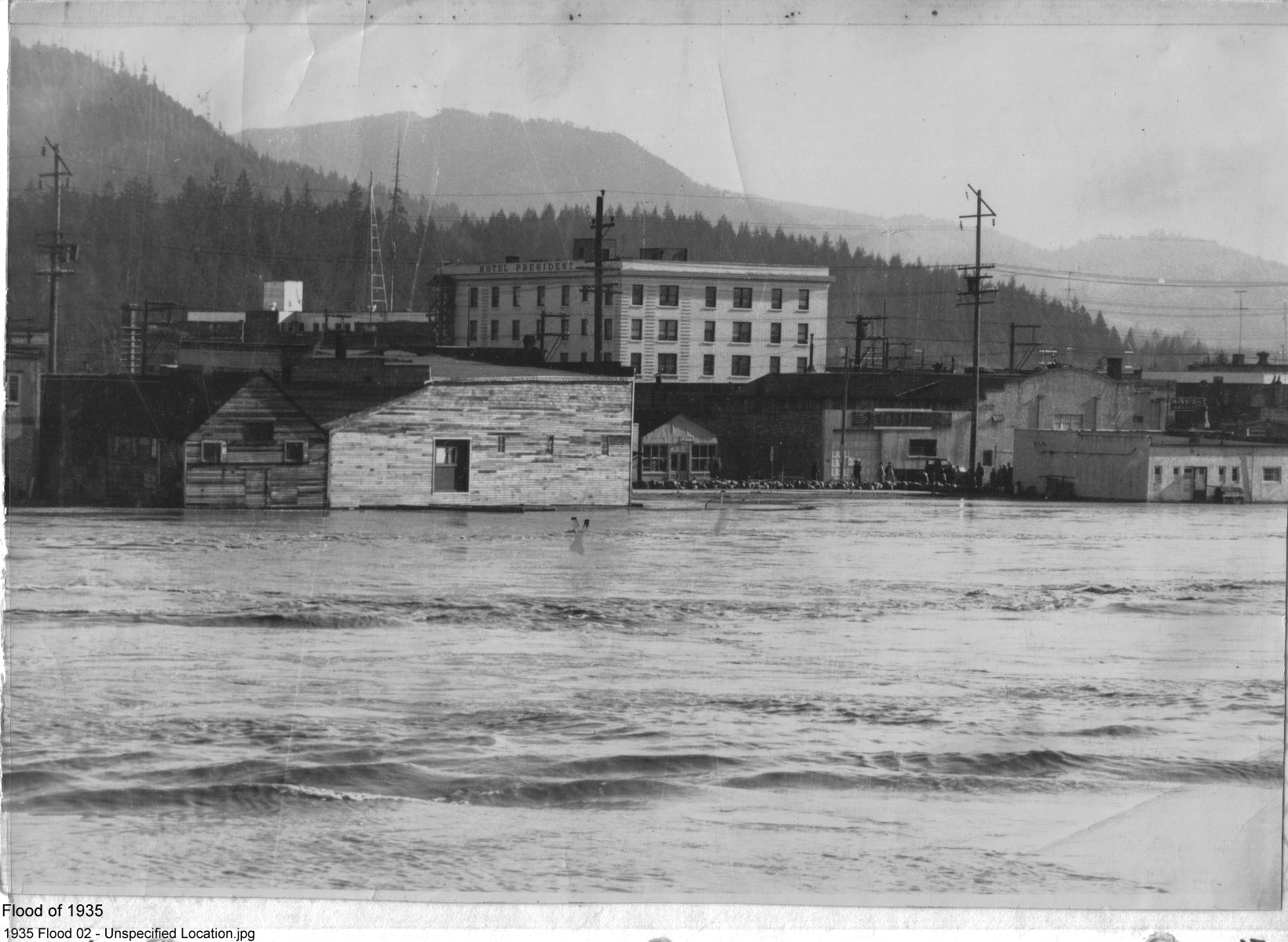 |
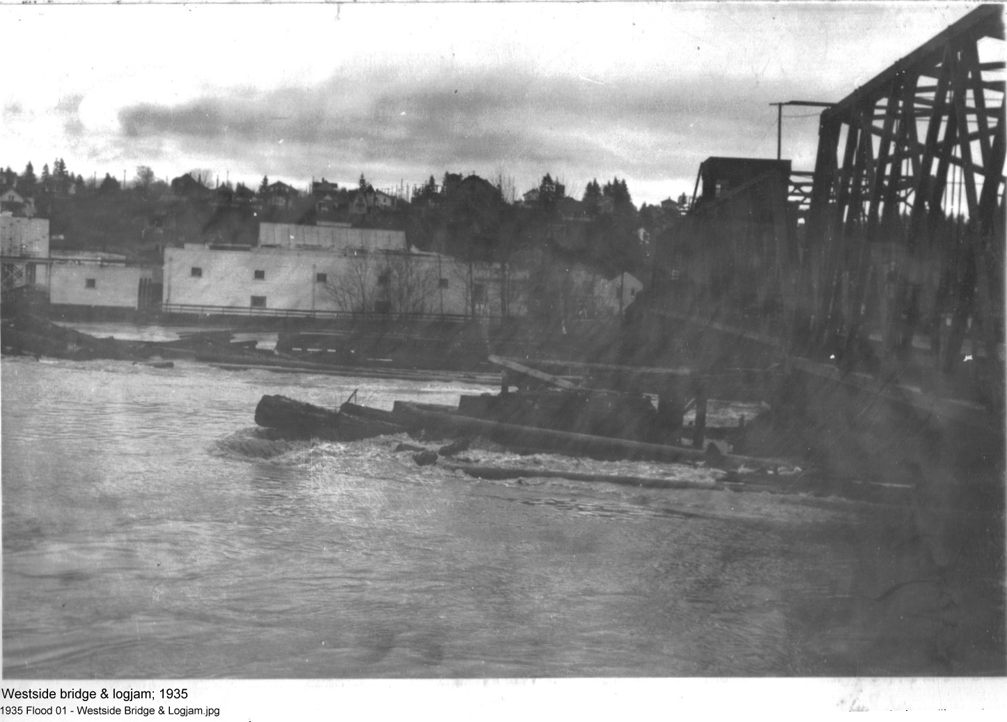
| 1921 Flood - Fairhaven & Gardner | 1935 Flood - Westside Bridge & Logjam | 1935 Flood - Unspecified Location |
 |
 |
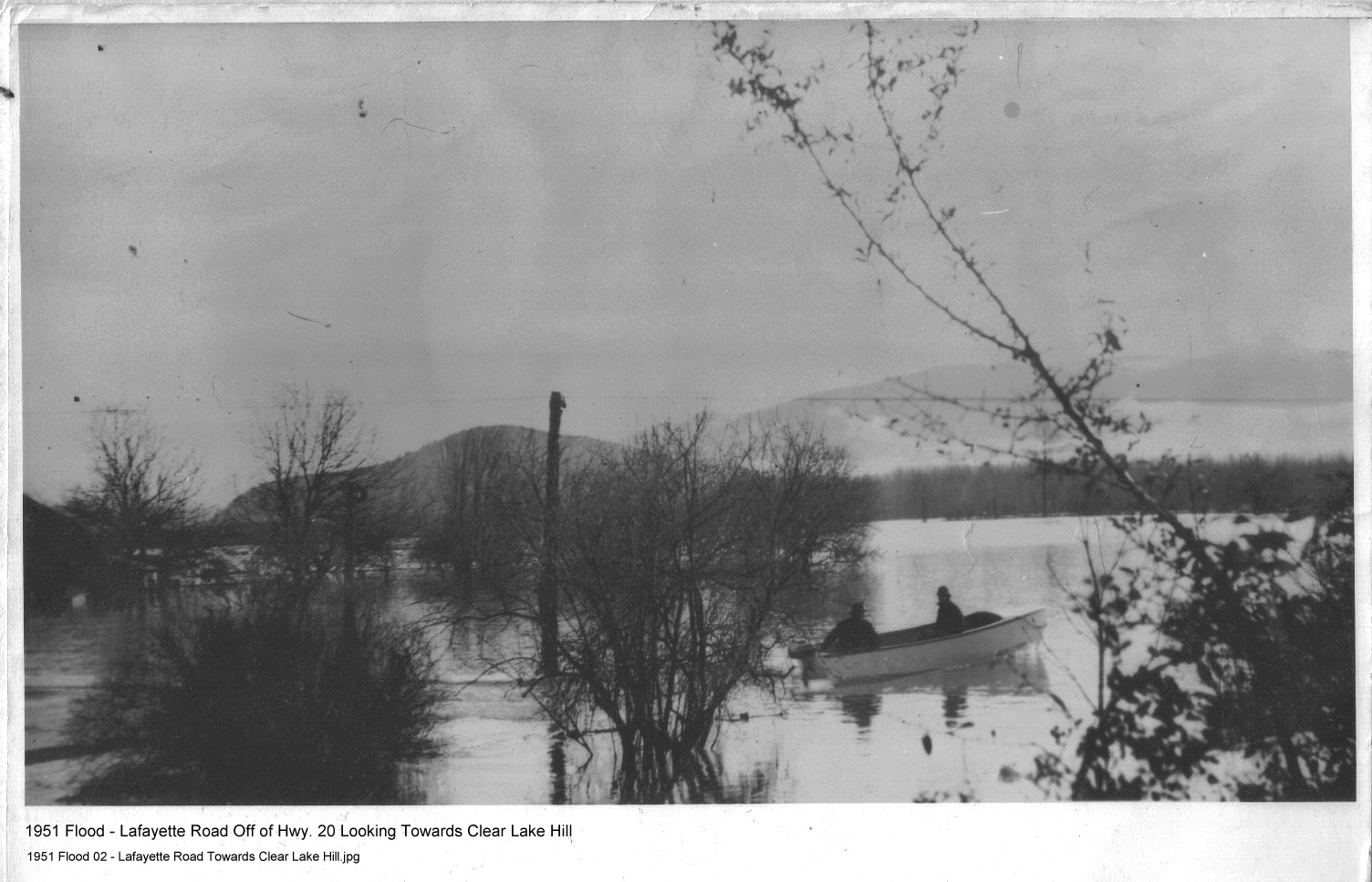 |
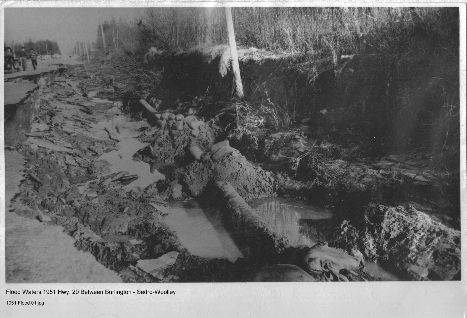
| 1935-Unspecified Location | 1951 - Hwy. 20 Between Burlington - Sedro-Woolley | 1951 - Lafayette Road, view towards Clear Lake Hill |
 |
 |
 |
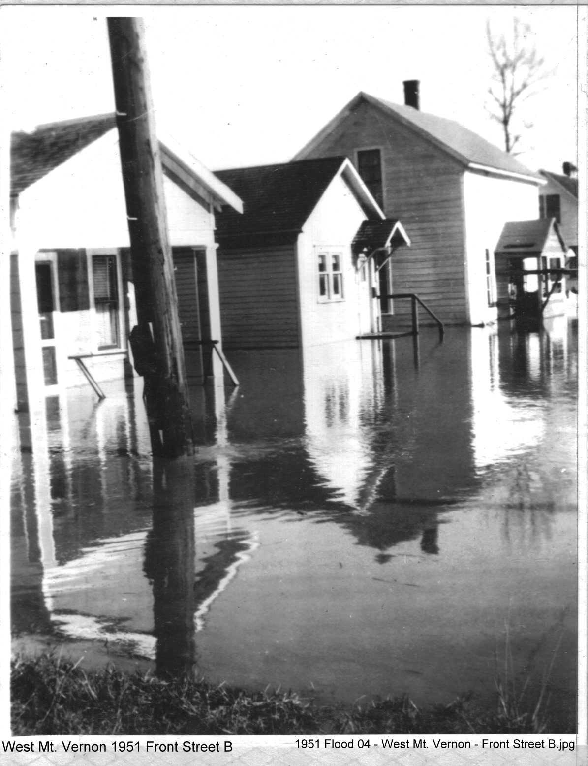
| 1951 Flood - West Mt. Vernon - Front Street A | 1951 Flood - West Mt. Vernon - Front Street B | 1951 Flood - West Mt. Vernon |
 |
 |
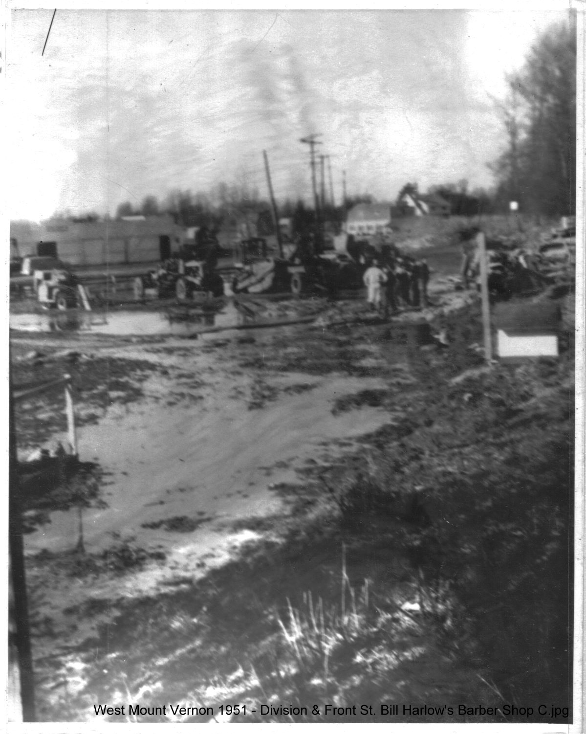 |
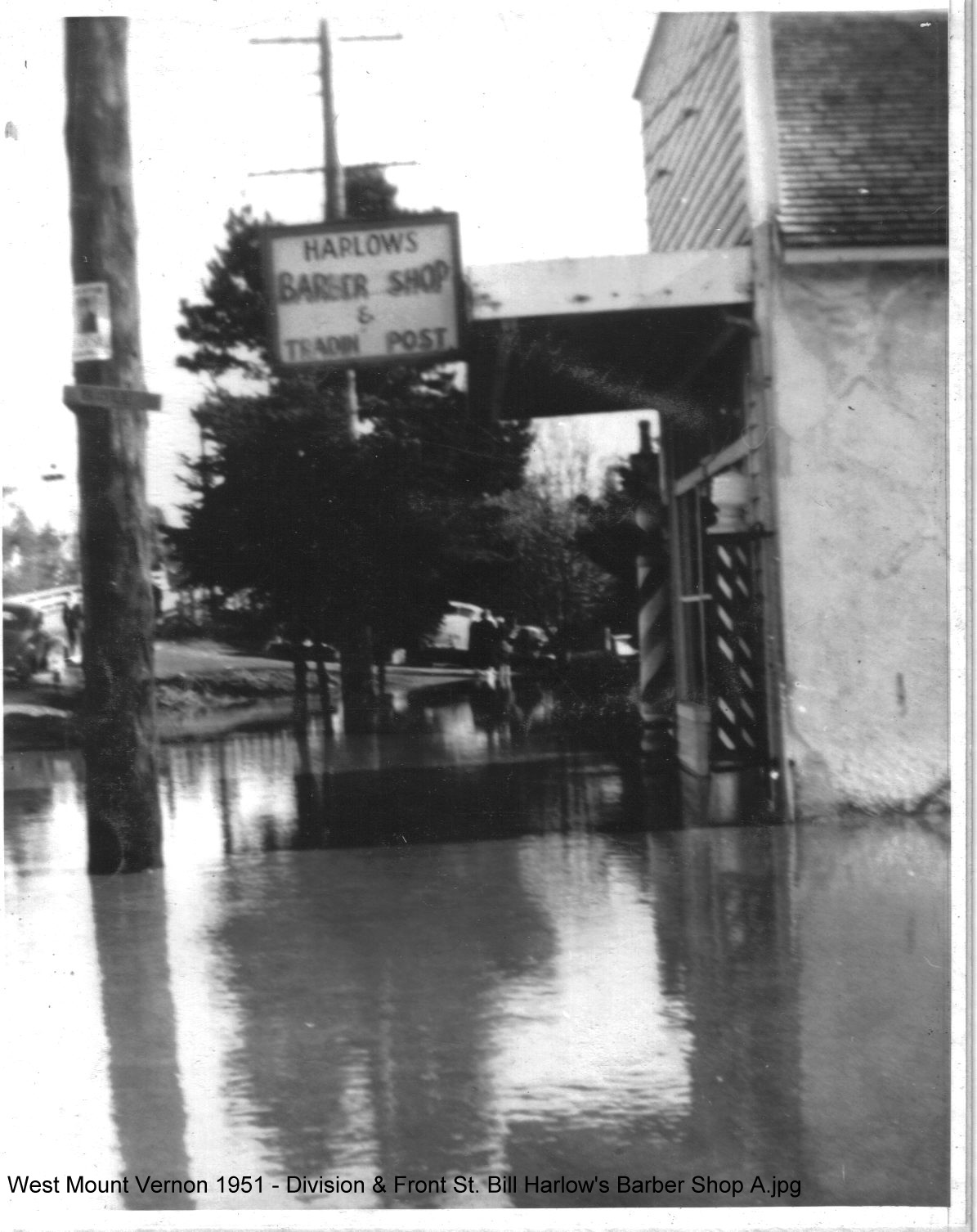
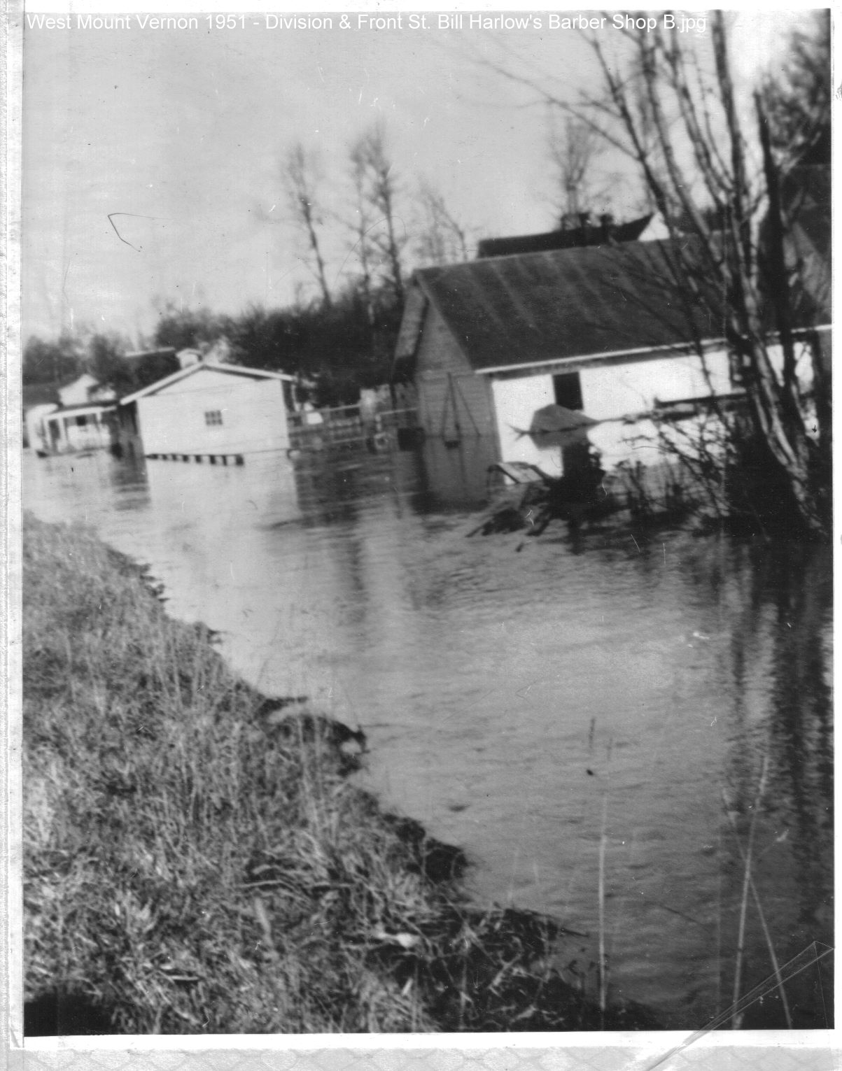
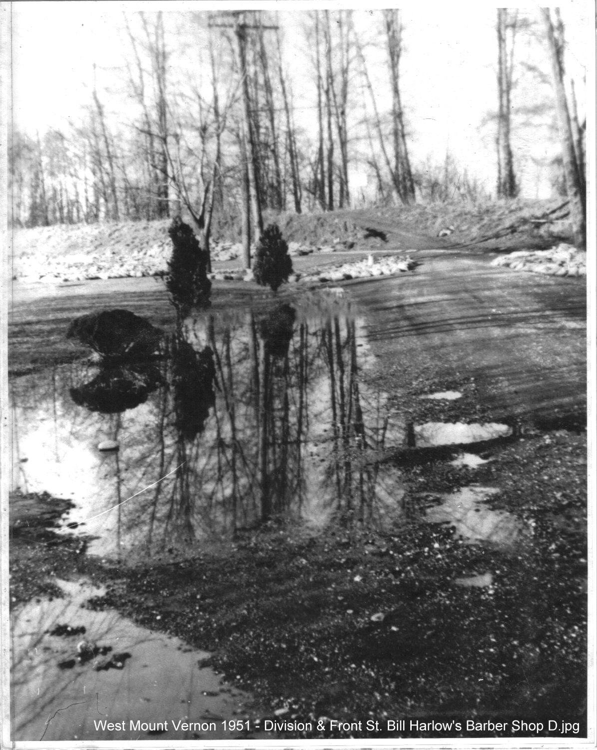
| 1951 Flood - West Mount Vernon - Division & Front St. Bill Harlow's Barber Shop | 1951 Flood - West Mount Vernon - Division & Front St. | 1951 Flood - West Mount Vernon - Division & Front St. |
 |
 |
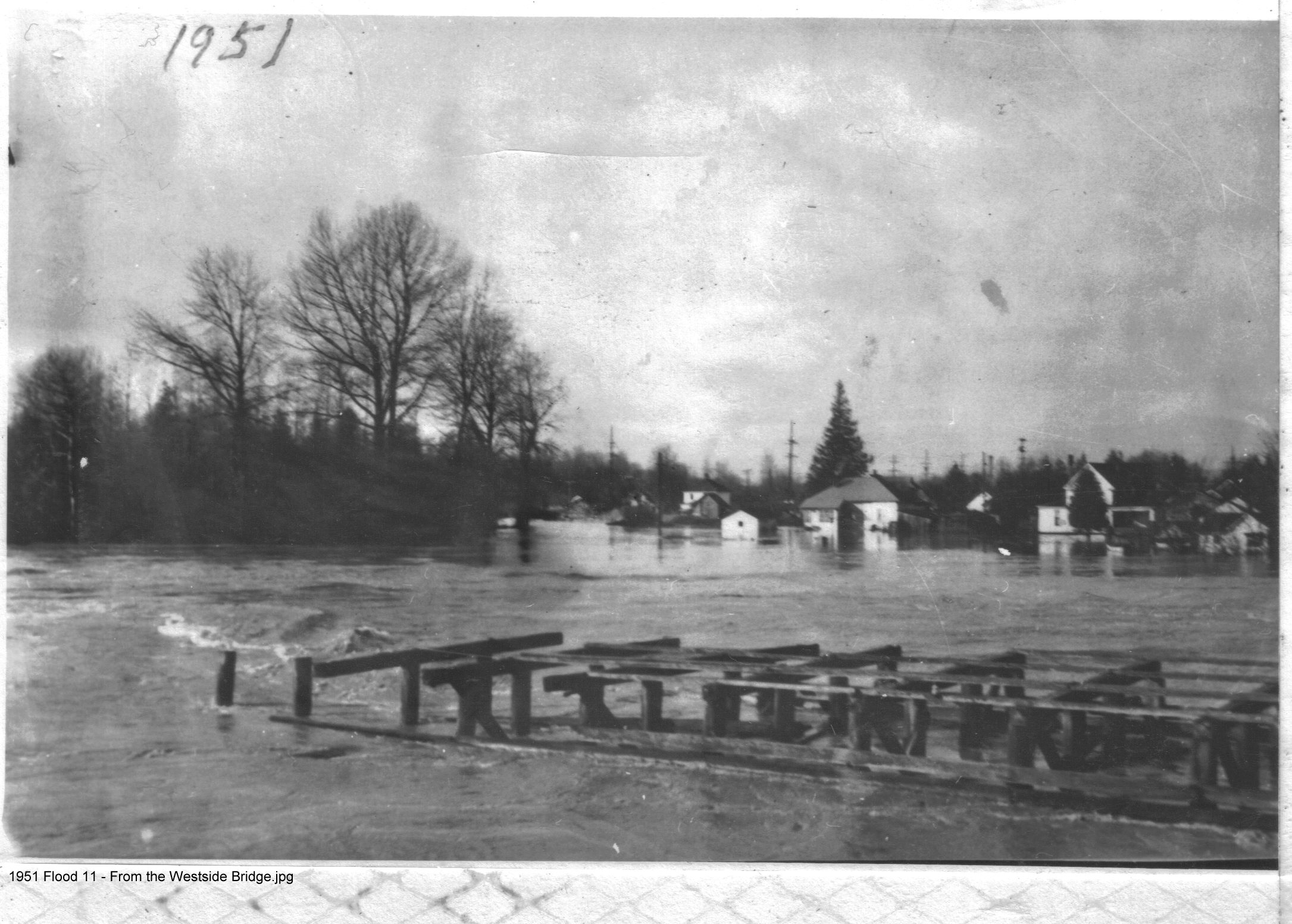 |
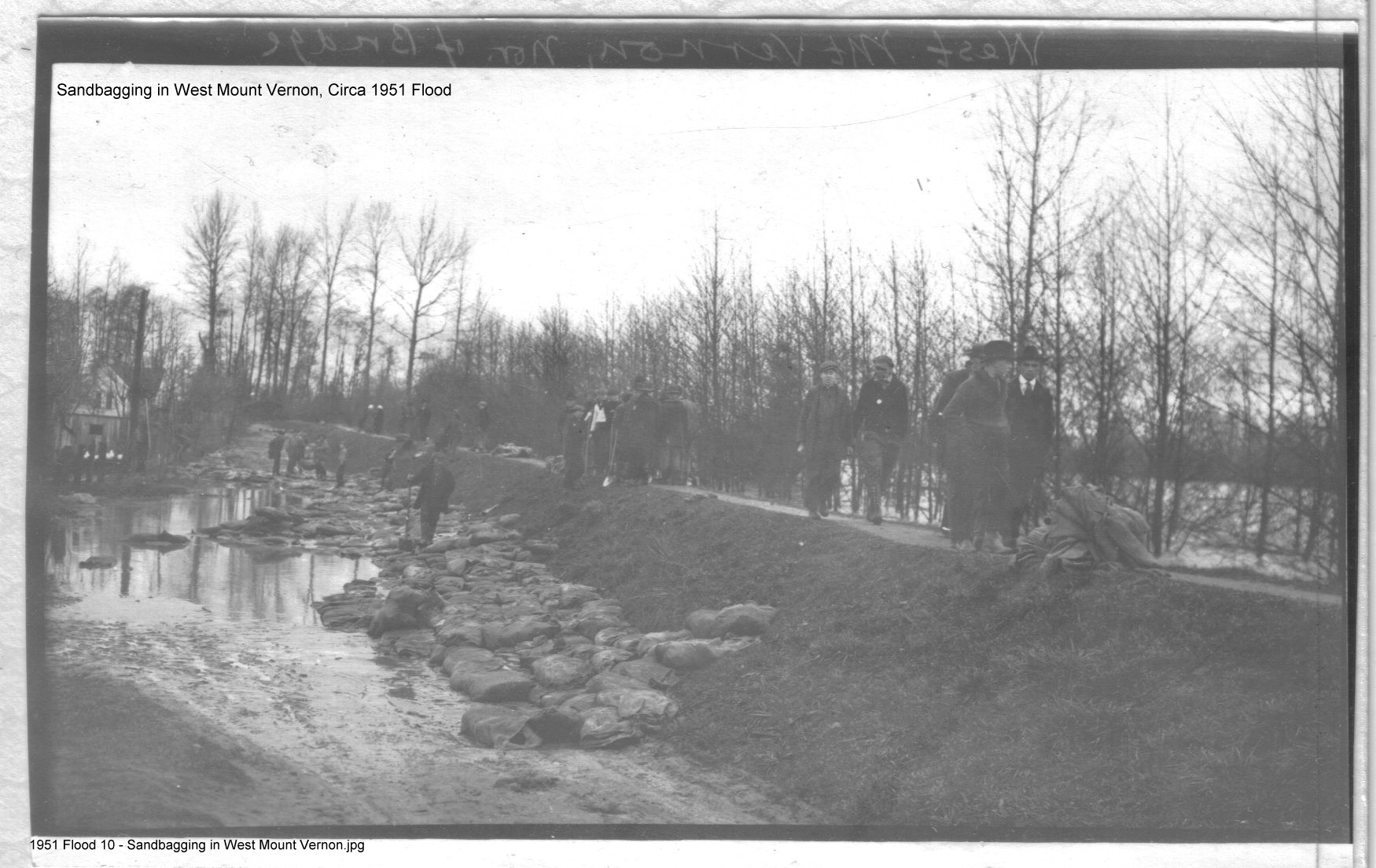
| 1951 Flood - West Mount Vernon - Division & Front St. | 1951 Flood - Sandbagging in West Mount Vernon | 1951 Flood - From the Westside Bridge |
 |
||
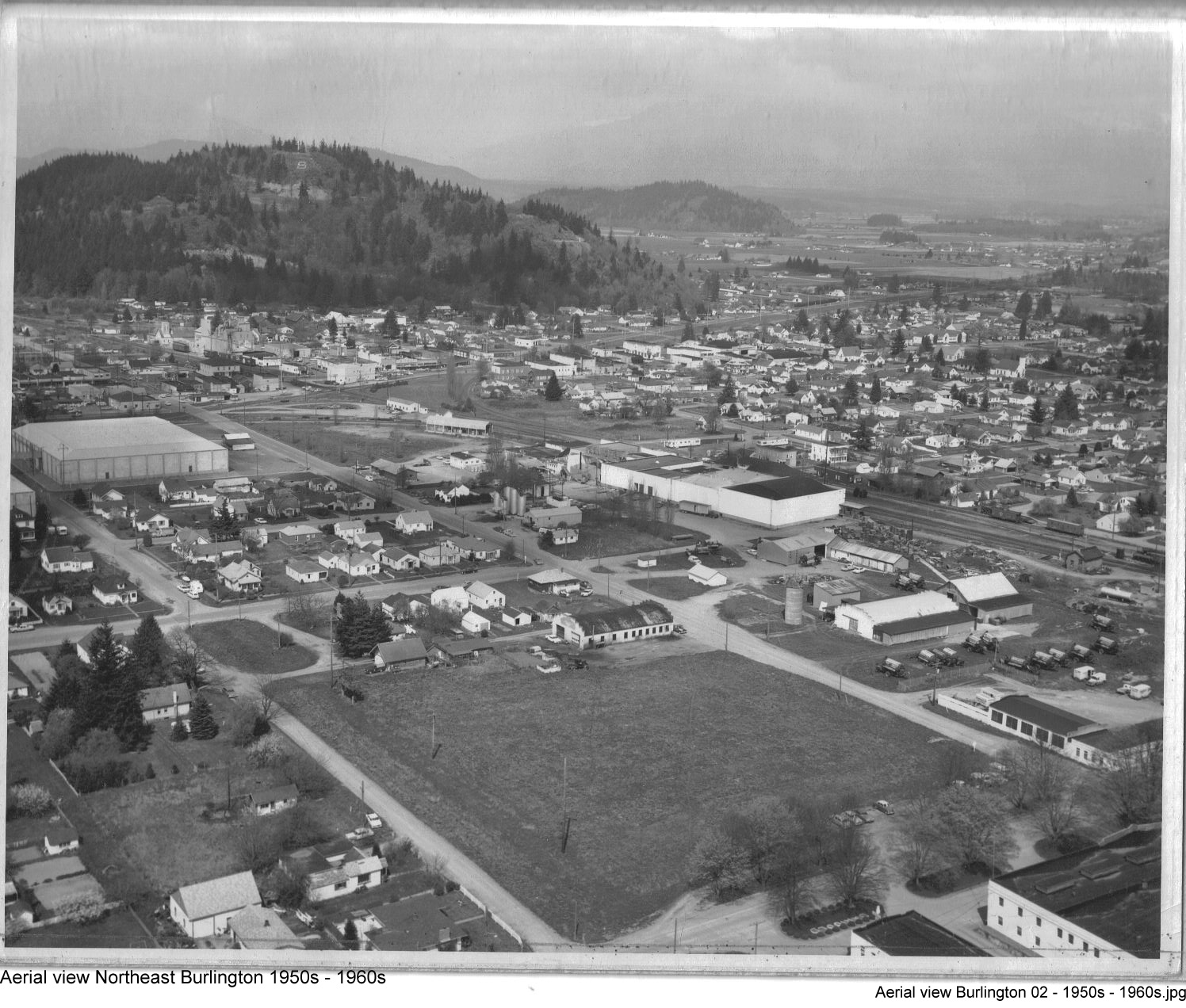
| 1950s-1960s Aerial View Burlington | ||
| Undated Photographs | ||
 |
 |
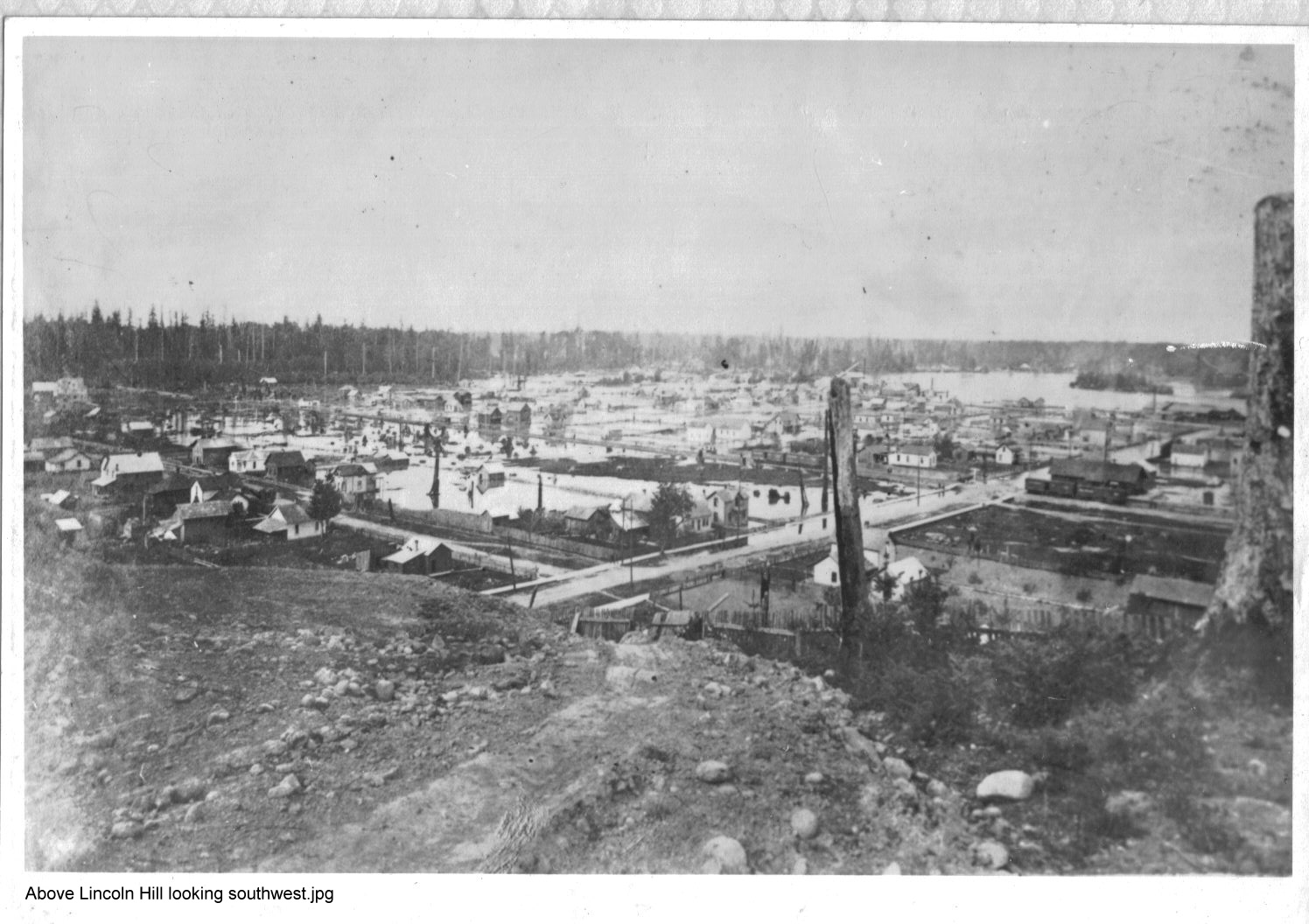 |
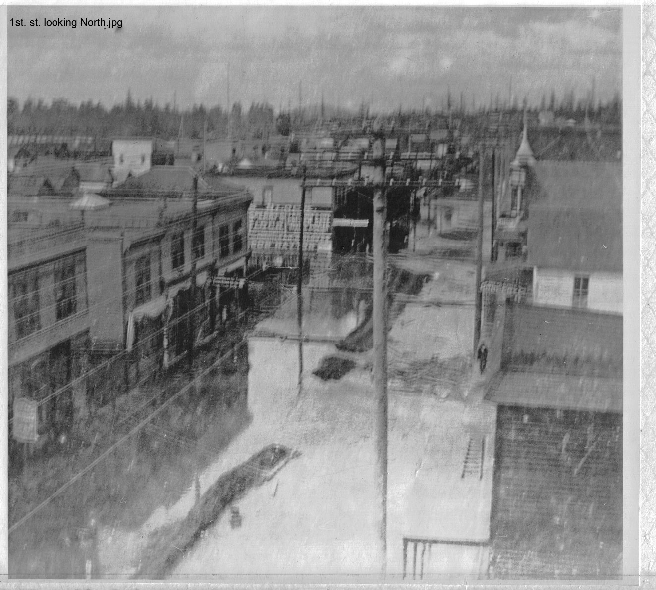
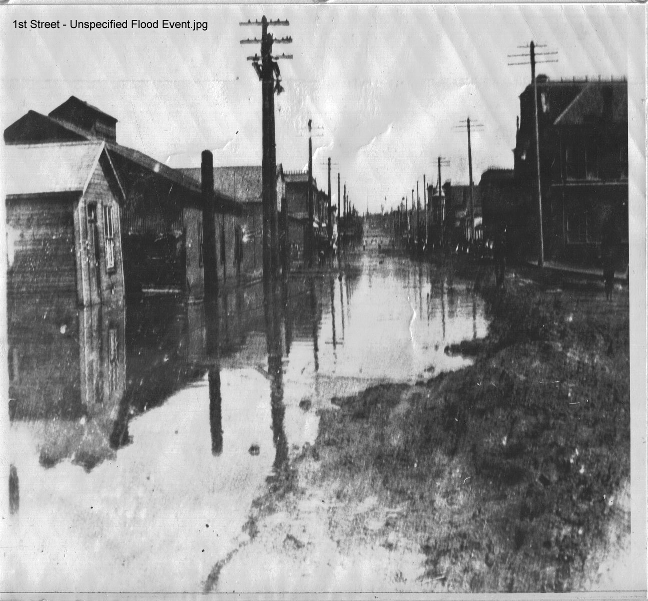
| 1st Street Looking North | 1st Street - Unspecified Flood Event | Above Lincoln Hill - Looking Southwest |
 |
 |
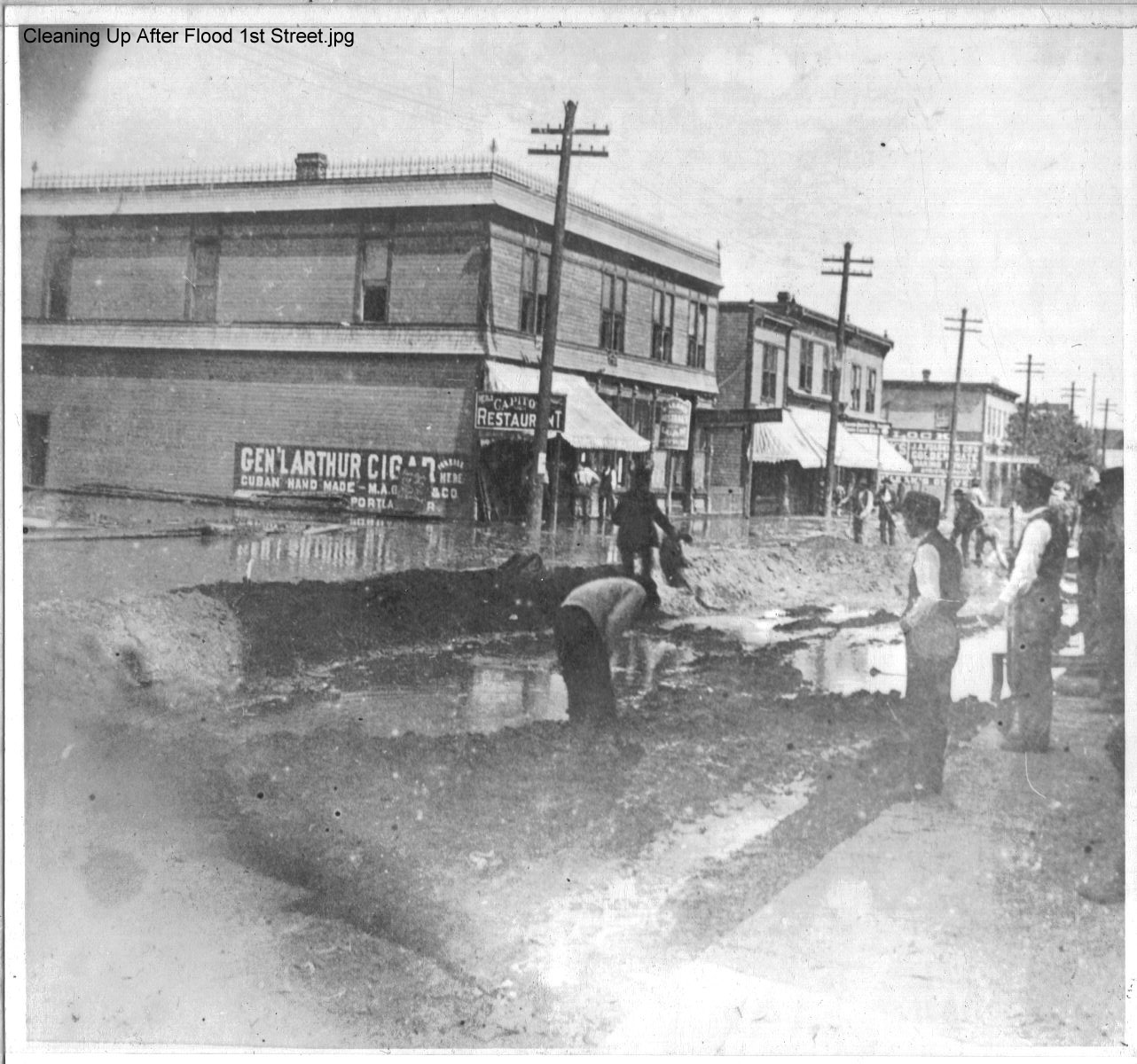 |
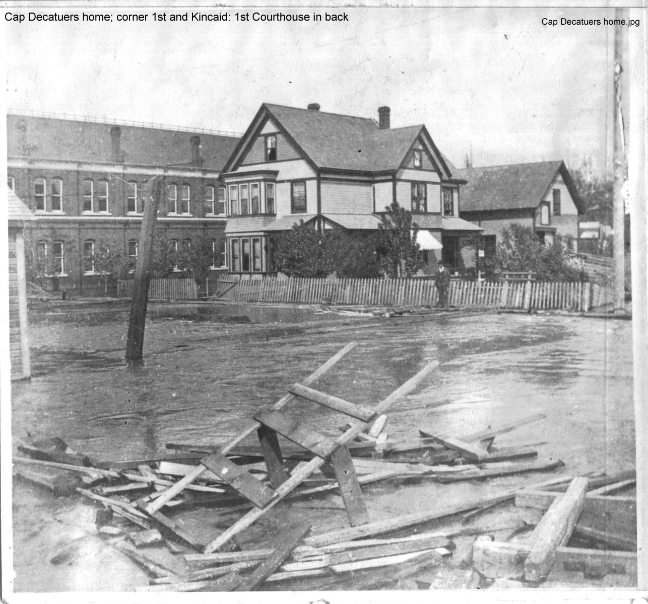
| Aerial View - Burlington | Cap Decatuer's Home | Cleaning Up After Flood - First Street |
%201st.%20St.%20-%20Unspecified%20Flood%20Event.jpg) |
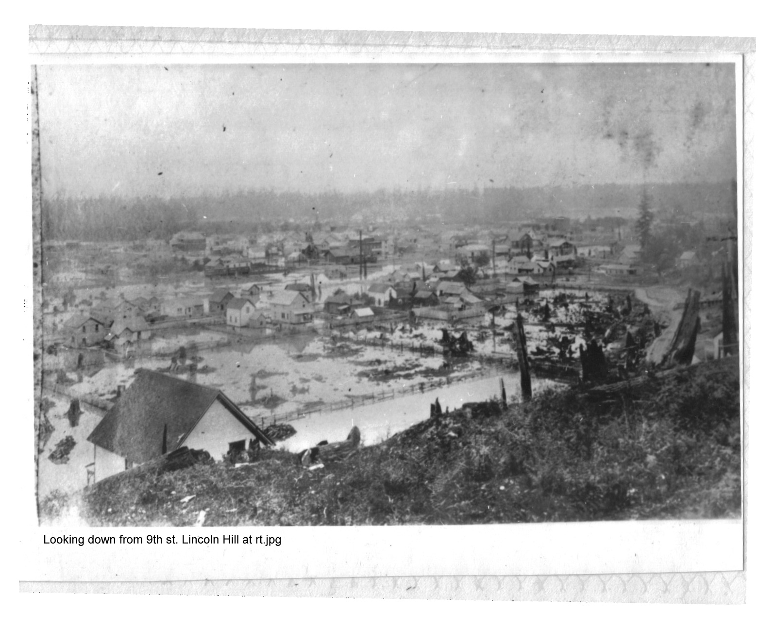 | |
| Ct. House (Matheson Bldg) 1st. St. - Unspecified Flood Event | Looking down from 9th St. Lincoln Hill at Rt. | |
 |
 |
.jpg) |
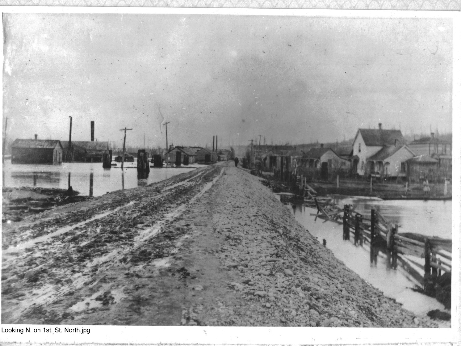
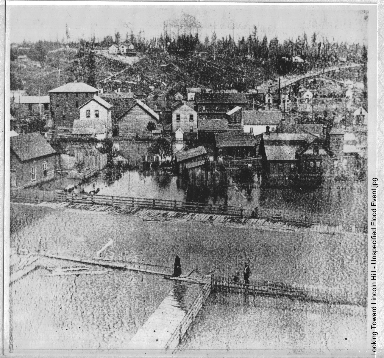
| Looking N. on 1st. St. North | Looking Toward Lincoln Hill - Unspecified Flood Event | M.V. Floodwaters (Unknown st.) |
 |
 |
 |
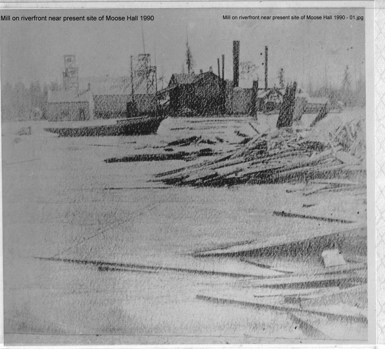
| Mill on riverfront near present site of Moose Hall 1990 - 01 | Mill on riverfront near present site of Moose Hall 1990 - 02 | North Mt. Vernon |
 |
 |
 |
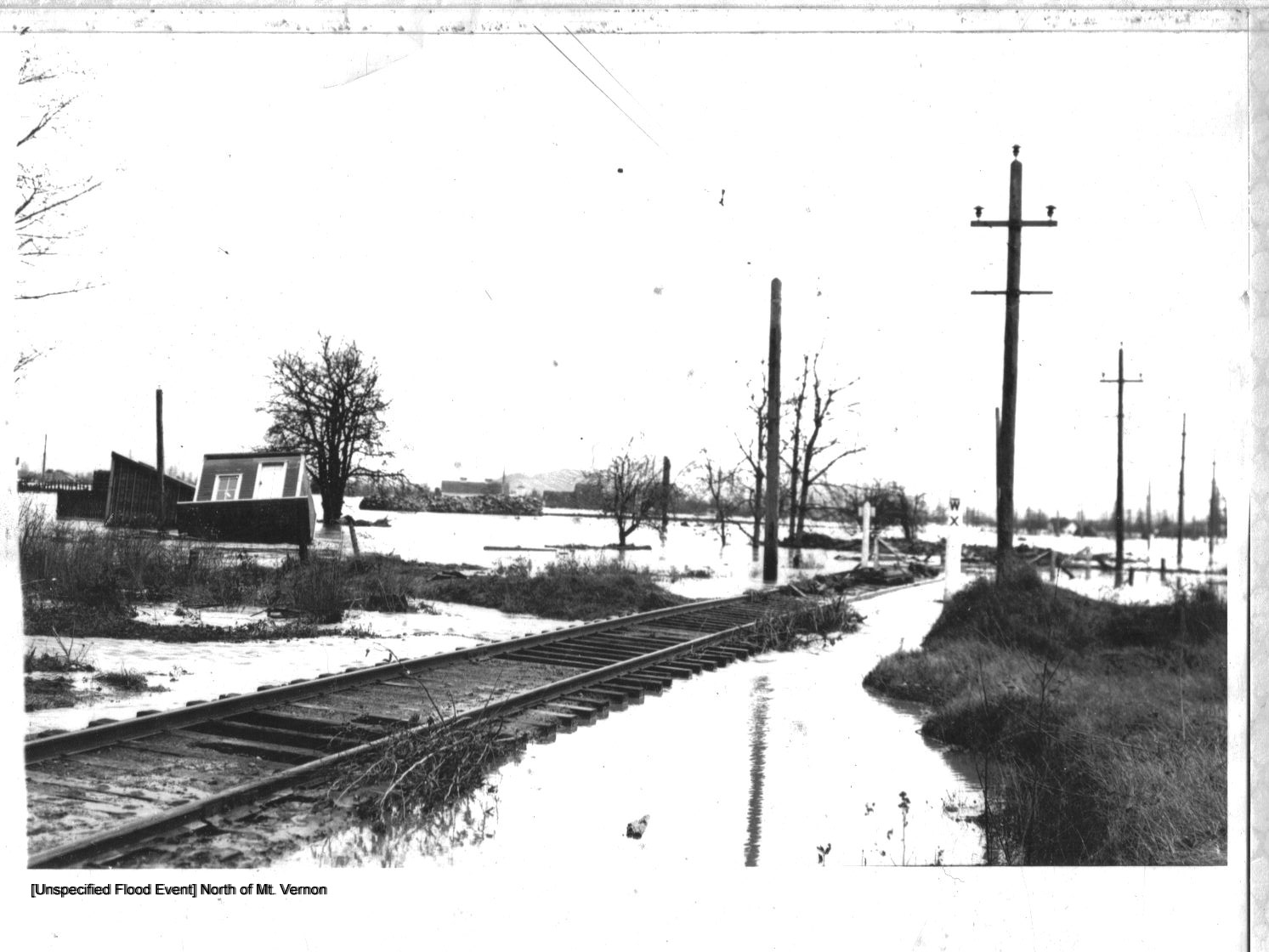
| North of Mt. Vernon | Railroad Depot at Whitney West on Hwy. 20 | South M.V. - Unknown Year |
![West Mount Vernon Looking Southeast [Towards Little Mountain]](Photo_Gallery/skagit%20flood%20pics%20JPEGS/W%20Mt.%20Vernon%20Looking%20Southeast.jpg) |
 |
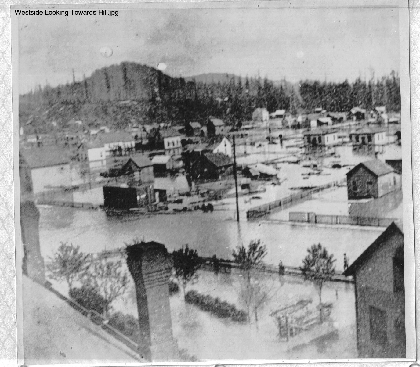 |
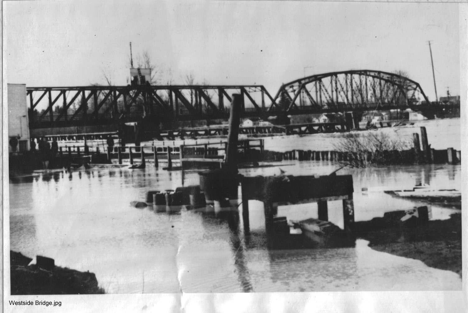
| W Mt. Vernon Looking Southeast [Towards Little Mountain] | Westside Bridge | Westside Looking Towards Hill |
| For the story behind the pictures - please go HERE and search our document & historical newspaper archives. | ||
| 1917 Flood Photographs Donated by John Ruhlman | ||
 |
 |
|
| The 1917 Harmony area flood at the break at the far east end of the Calhoun Road. | The 1917 Skagit Flood looking eastward at the corner of Calhoun Road and Kamb Road. Included is the old Harmony Baptist Church and the old Harmony School (both torn down now.) | |
| For the stories behind the pictures and more of them please go HERE to the historical article index | ||
| Concrete Herald Photographs | ||
 |
 |
 |
| May 2, 1957 | January 14, 1965 | February 11, 1965 |
| For the stories behind the pictures and more of them please go HERE to the historical article index | ||
| Skagit Valley Herald Skagit County Pictorial History, 2005 Edition Photographs | ||
 |
 |
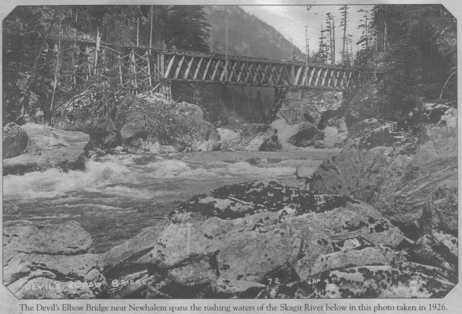 |
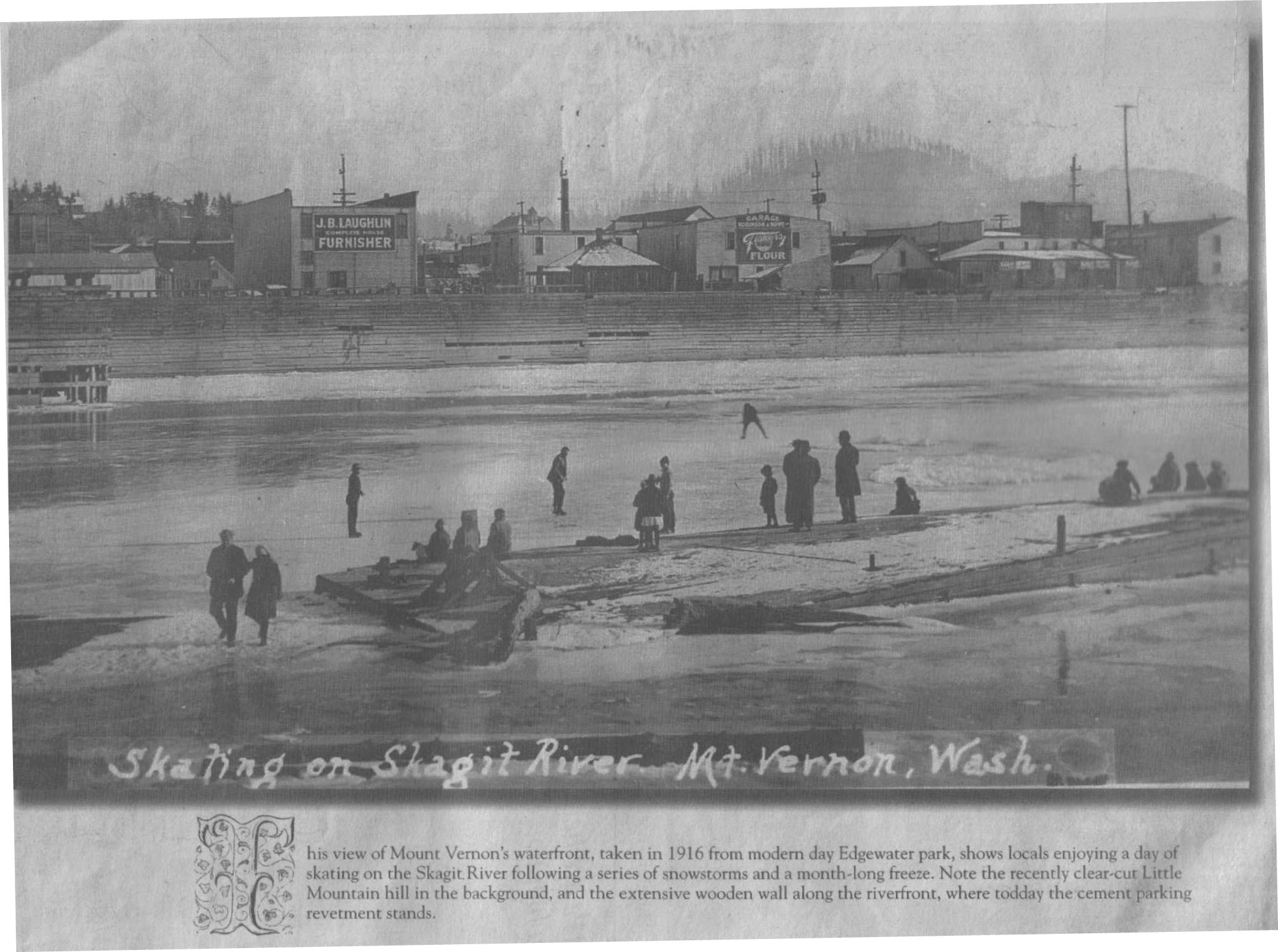
| Early 1900s cable ferry across the Skagit at Sedro-Woolley | 1916 - Mt. Vernon during the river freezing over | 1926 - Devil's Elbow Bridge, near Newhalem |
 |
||
|
1935 - Mt. Vernon during the flood See 1935 articles: 1/25/35 MVDH, 1/26/35 MVDH, 1/31/35 Argus, 1/31/35 Argus, 1/31/35 CT, 1/31/35 C.H, 1/31/35 C.H. |
||
|
Dike District 12
Donated Pictures Pictures kindly donated by Dike District 12 Commissioner Chuck Bennett |
||
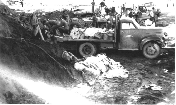
| 1951 Flood | ||
 |
 |
|
| Sandbagging boils on levees. | Sandbagging a boil on Whitmarsh | |
 |
 |
|
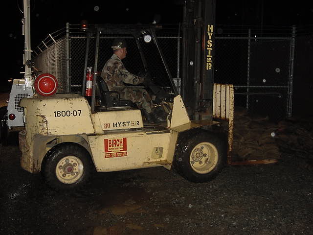
| Flood-Fighting the Old-Fashioned Way | Whitmarsh Road by Hanson Farm | |
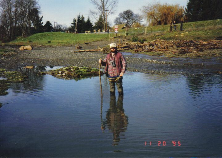
| 1995 Flood | ||
|
|
.JPG) |
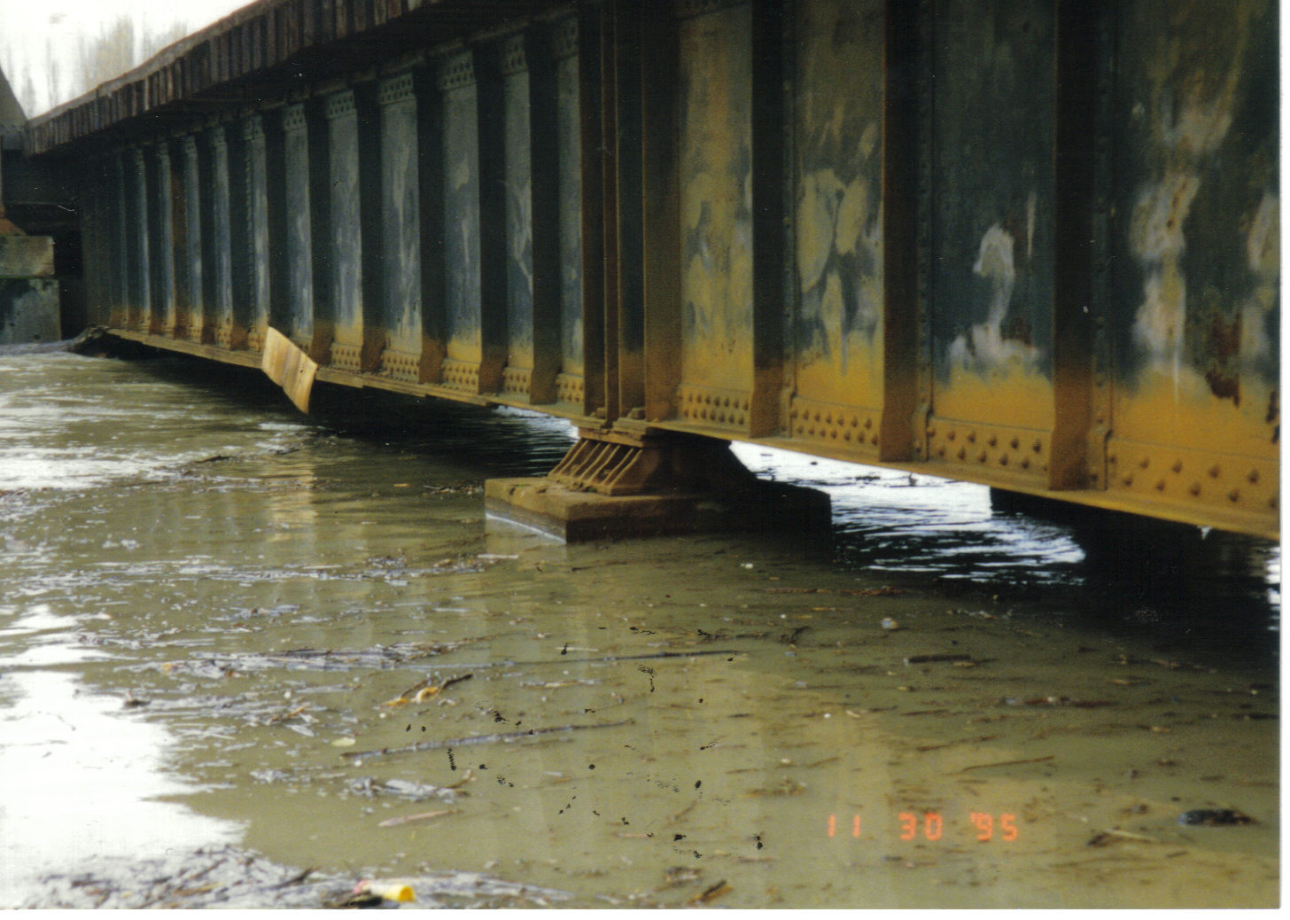 |
| 1995-11-20 Normal Clearance of BNRR Burlington-Mt. Vernon Bridge | 1995-11-30 1230 Hours BNRR Burlington-Mt. Vernon Bridge | 1995-11-30 1230 Hours BNRR Burlington-Mount Vernon Bridge |
 |
 |
 |
| 1995-11-20 Captain Bennett making sure water is wet | 1995-11-30 Dike District 12 Levee at Nagitami's 12:30 PM | 1995-11-30 12:15 PM Whitmarsh Rd |
 |
 |
|
| 1995 flood damage Dike Dist. 12 levee-bank off Bennett Rd | 1995 BNRR Bridge Damage |
|
| Miscellaneous | ||
.JPG) |
 |
 |
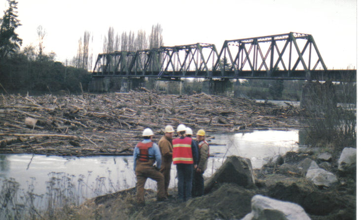
| 1990-11-25 Looking at Riverside Bridge from BNRR bridge | December 1994 Log Jam | December 1994 Log Jam - railroad crane clears logs from jam |
 |
 |
|
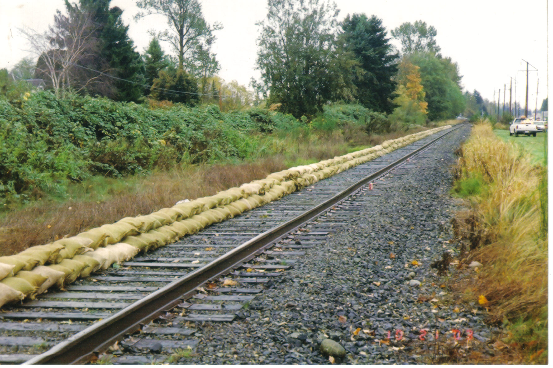
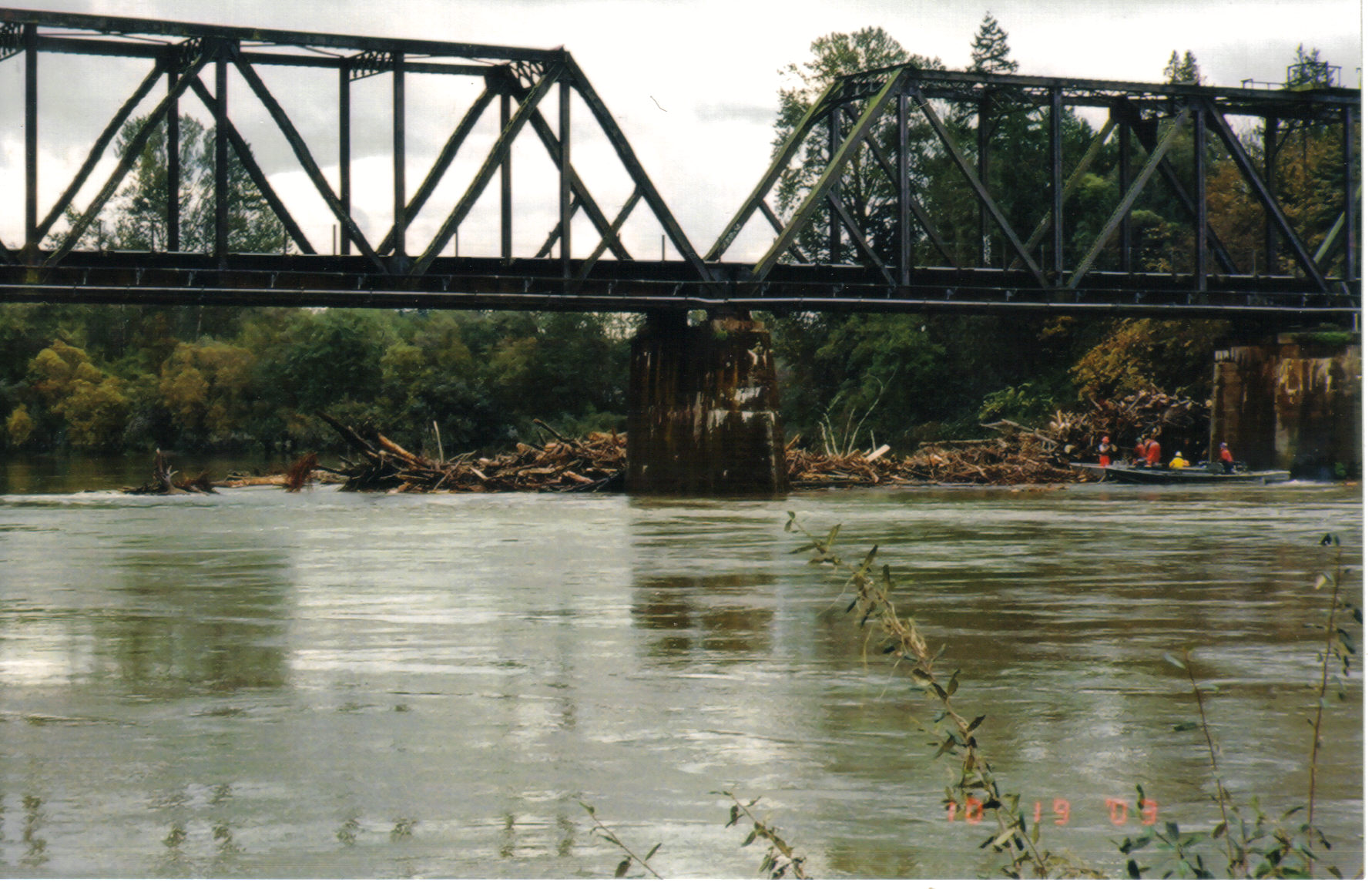
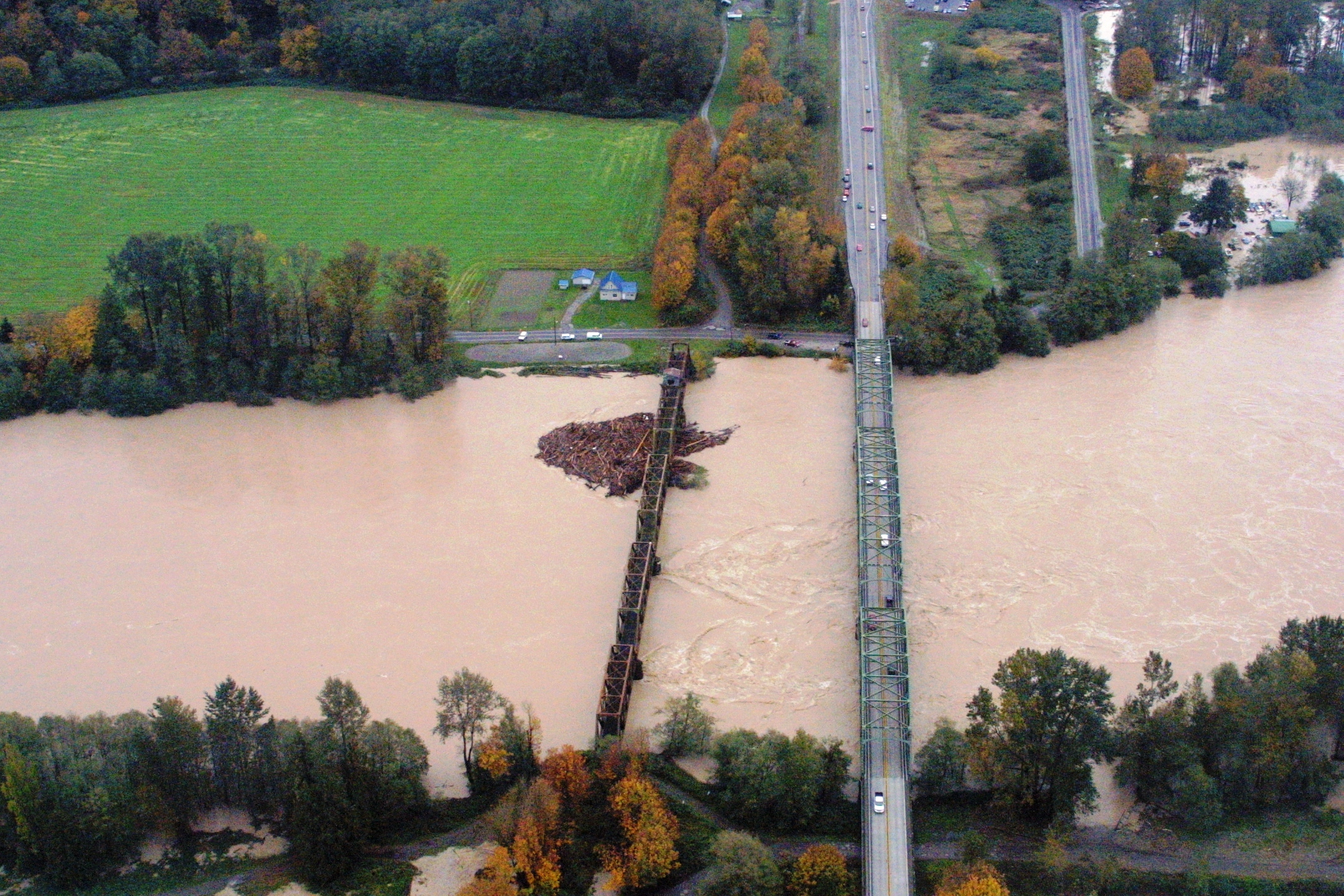
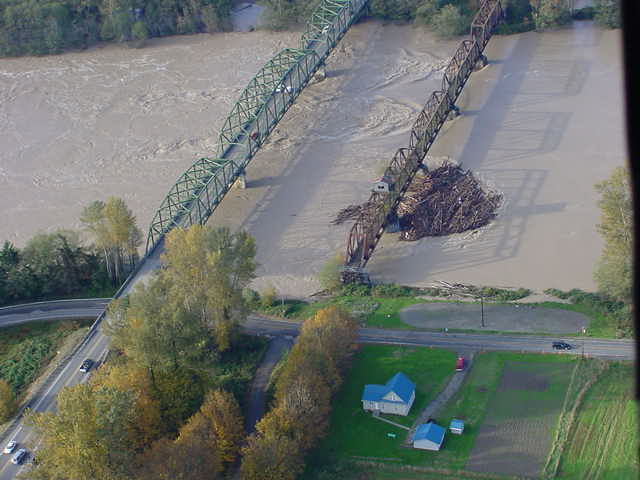
| Oct. 21, 2003 - sandbags along railroad paralleling St. Highway 20 between Sedro-Woolley and Burlington | Oct. 19, 2003 - log jam behind Burlington Northern Railroad bridge | |
| Dike District 17 Pictures of 1995 Flooding | ||
 |
 |
|
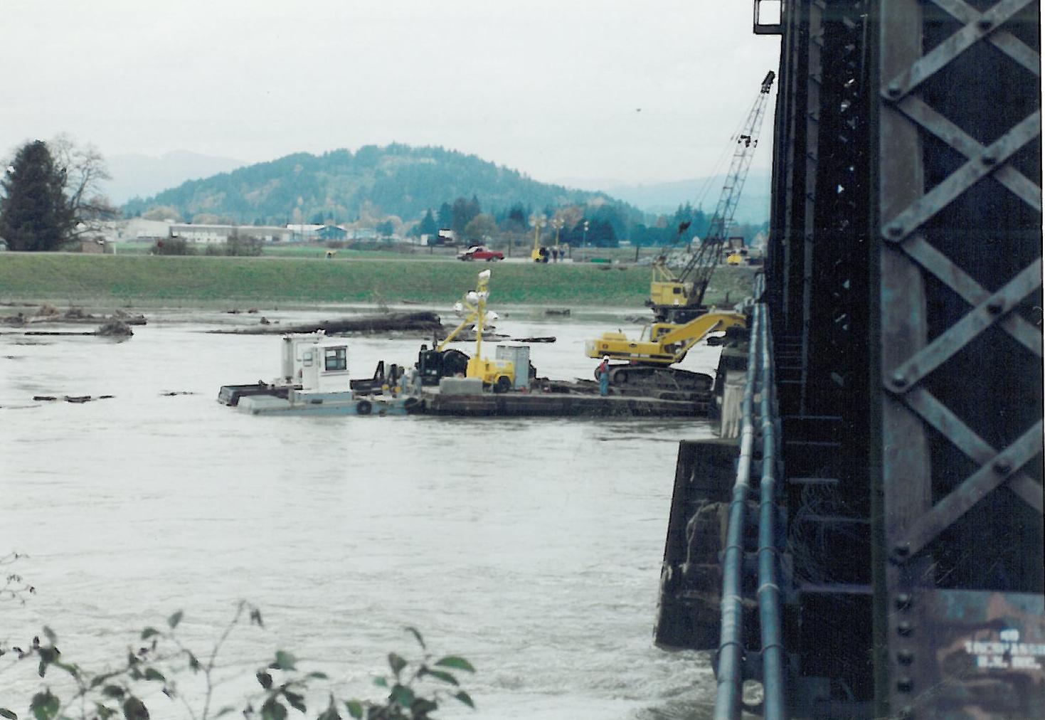
| Crane working on BNRR
Burlington-MV Bridge |
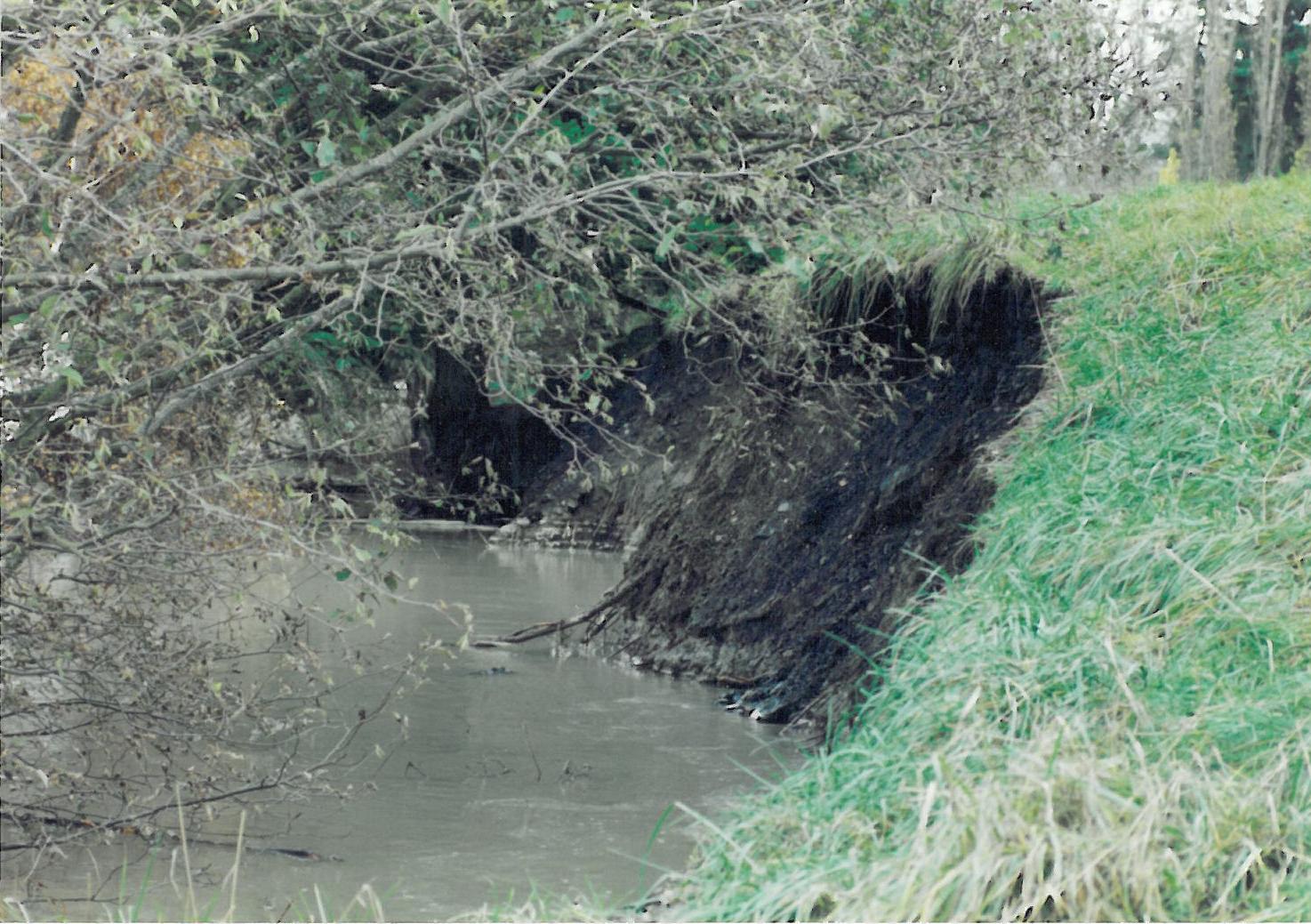
Scour of Dike District 17
Levee just downstream of BNRR Bridge |
|
| 1980
Flood Pics Courtesy Skagit County Government |
||
 |
 |
 |
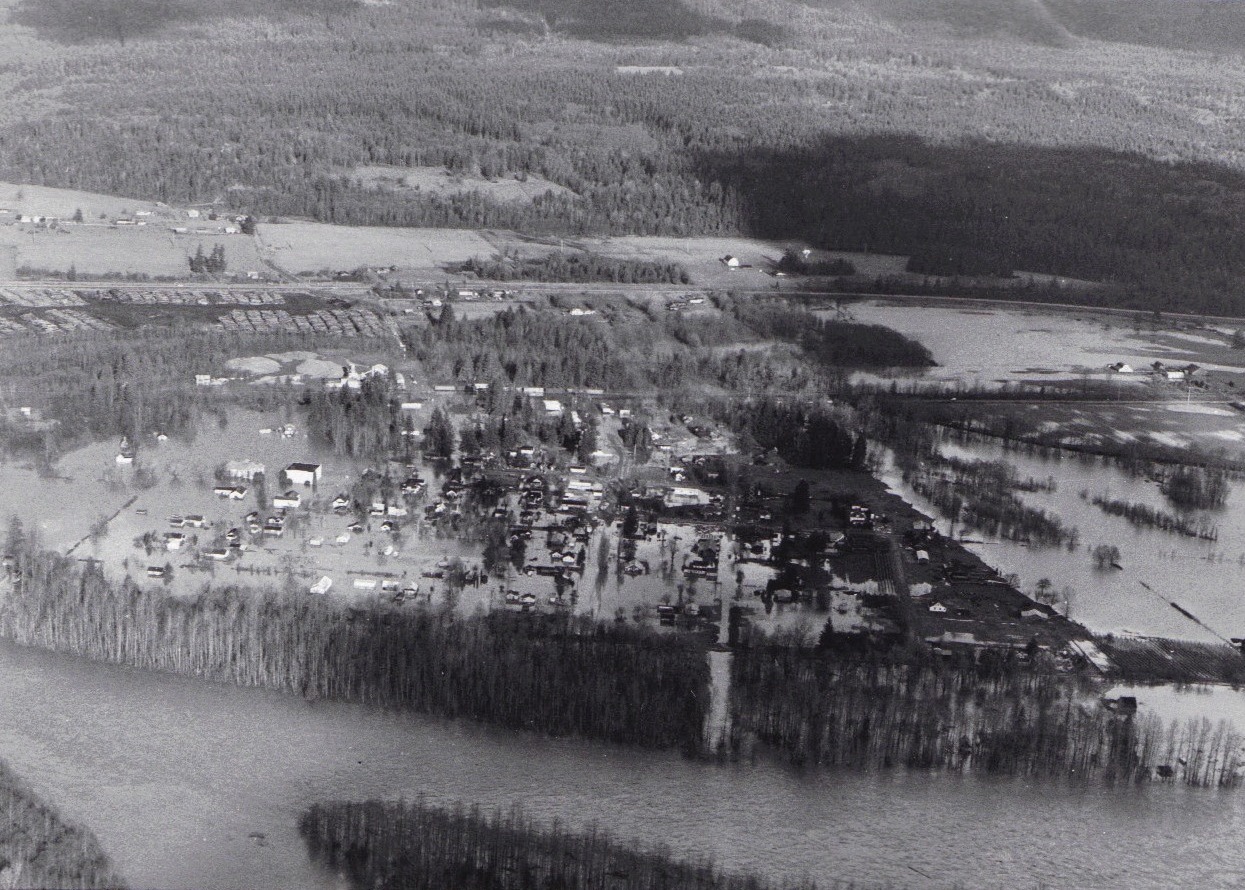
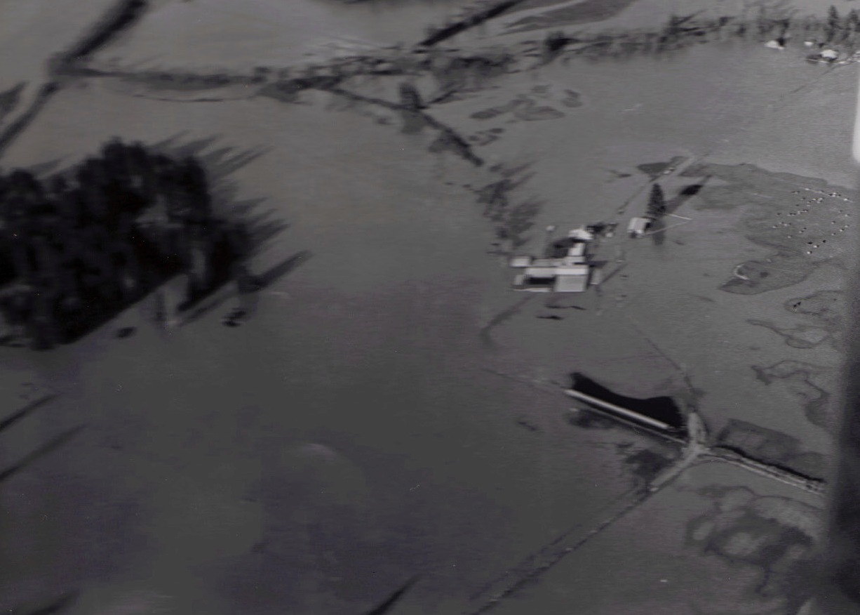
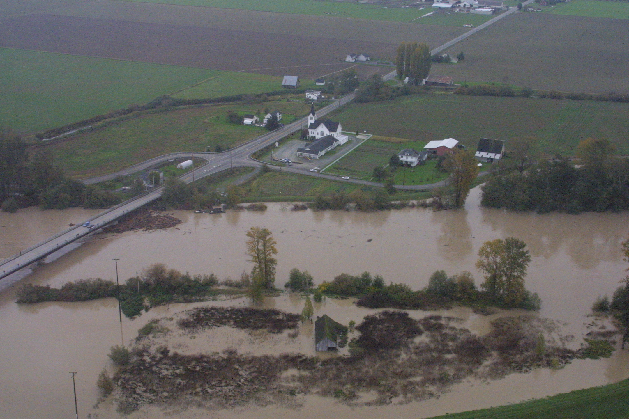
| Hamilton Looking West | Hamilton Looking Northwest | Flooded Hamilton Mobile Homes |
 |
 |
 |
| West Cockreham Island | A look east onto the Mount Vernon Revetment | Sandbags along the Mount Vernon revetment |
|
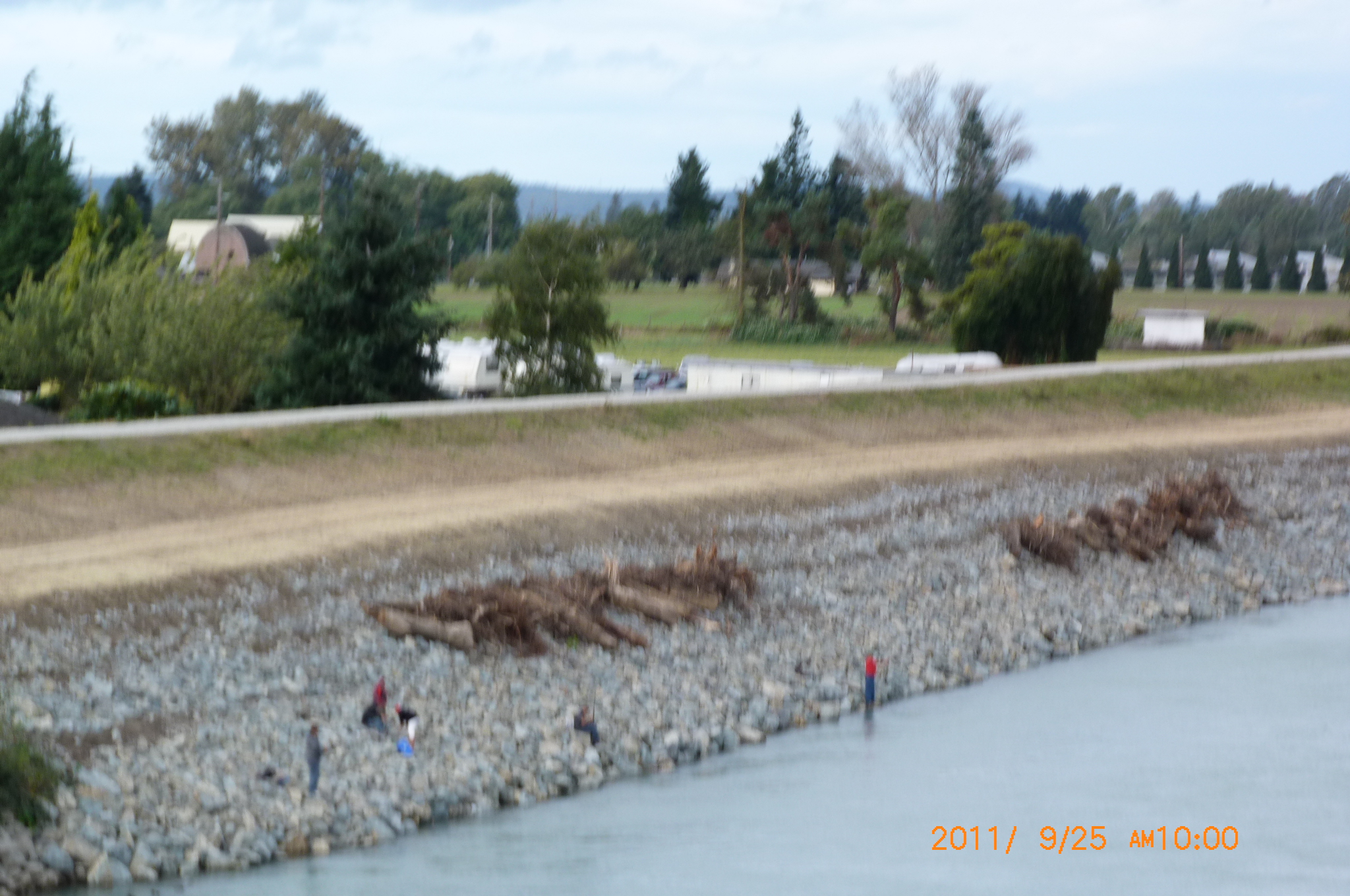
Pictures of 2003 Flooding | ||
| Courtesy of the City of Anacortes | ||
 |
 |
 |
| Intake Station, Oct. 17, 2003 | Skagit River at 32 feet from Intake Station, Oct. 22, 2003 | Skagit River from Intake Station Morning of Oct. 22, 2003 |
 |
 |
 |
| Flood-Fighting the Old-Fashioned Way (Same as in 1951) | ||
|
| ||
| Courtesy of Skagit County Public Works Department | ||
 |
 |
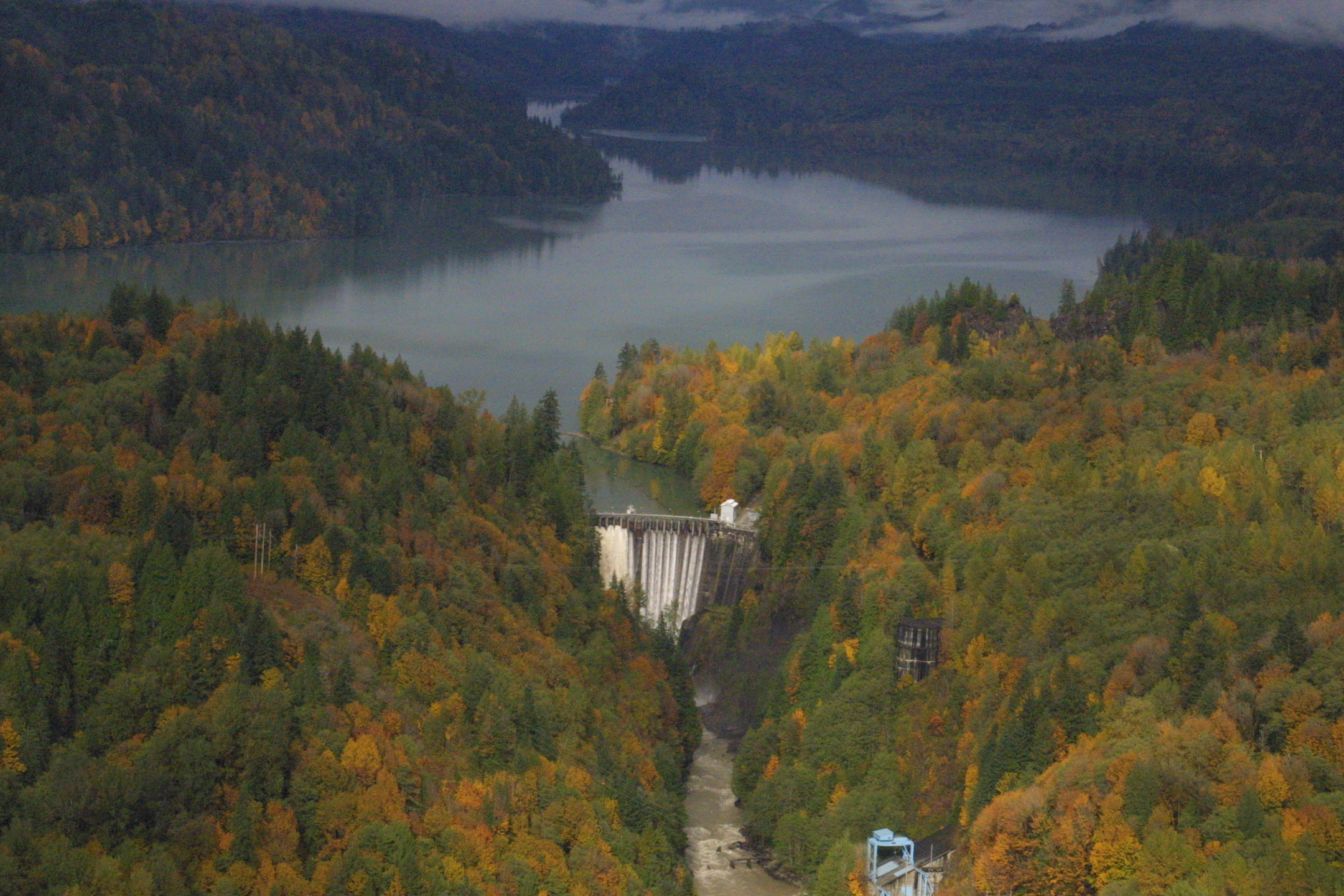 |
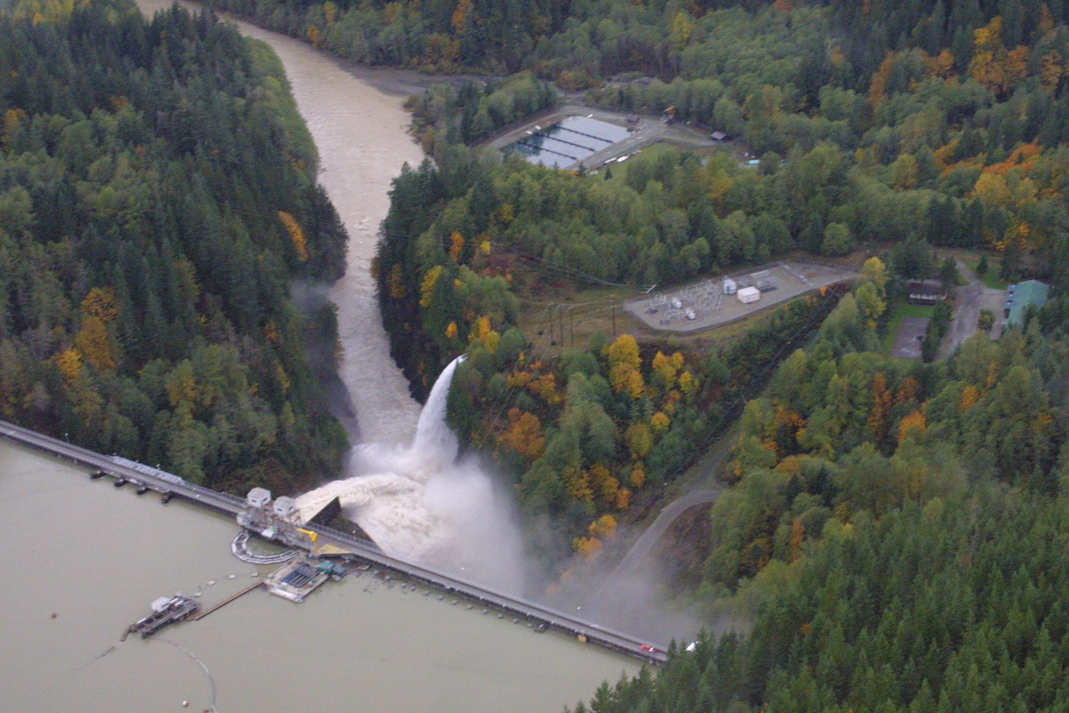
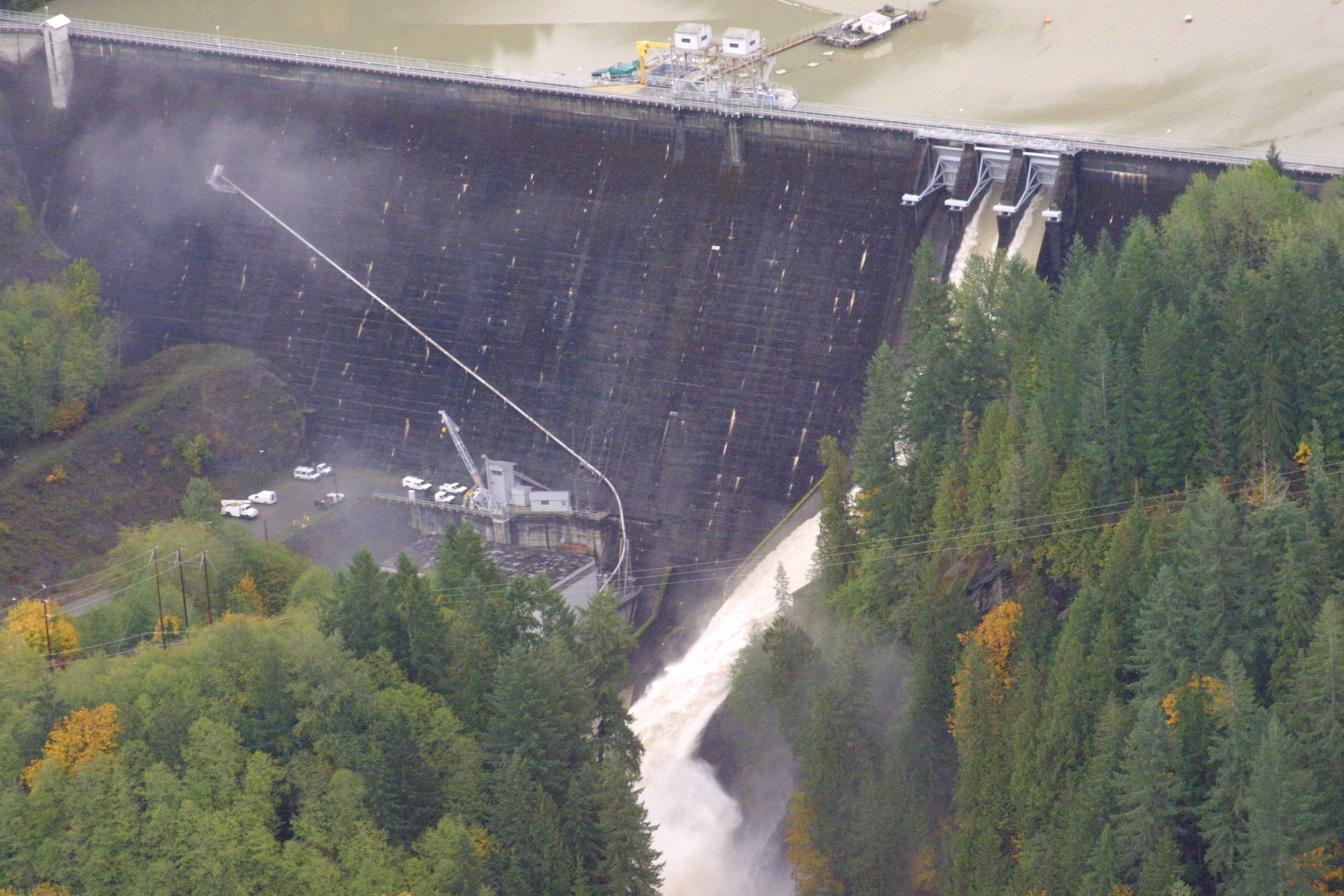
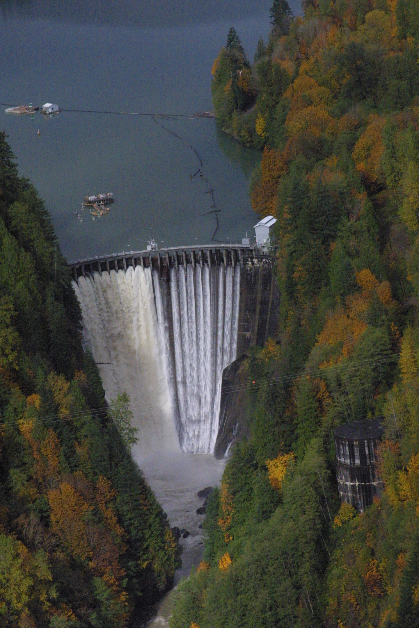
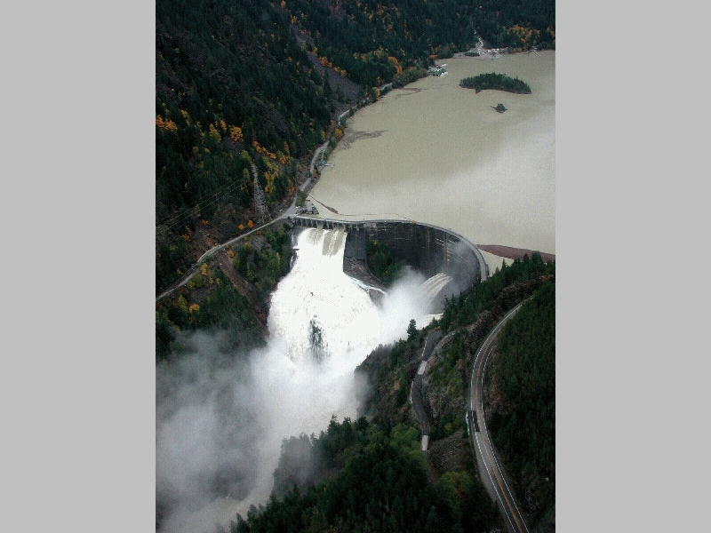
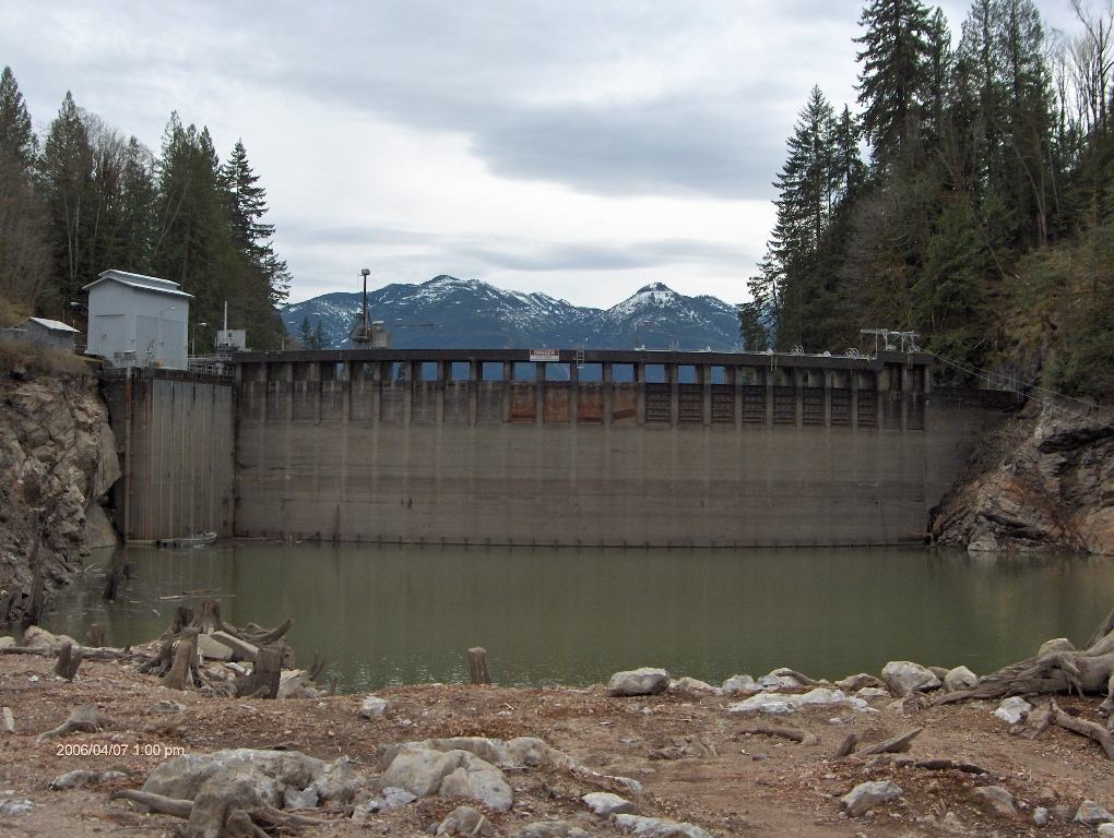
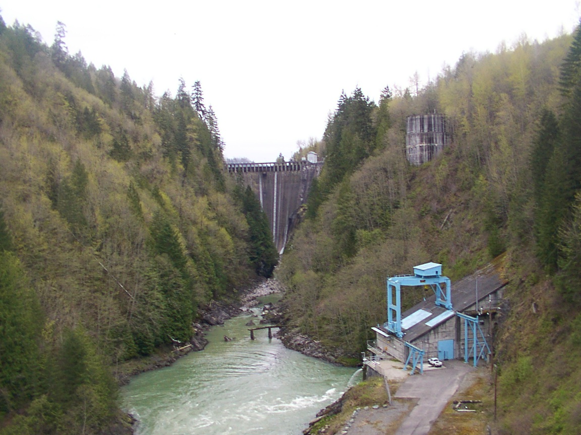
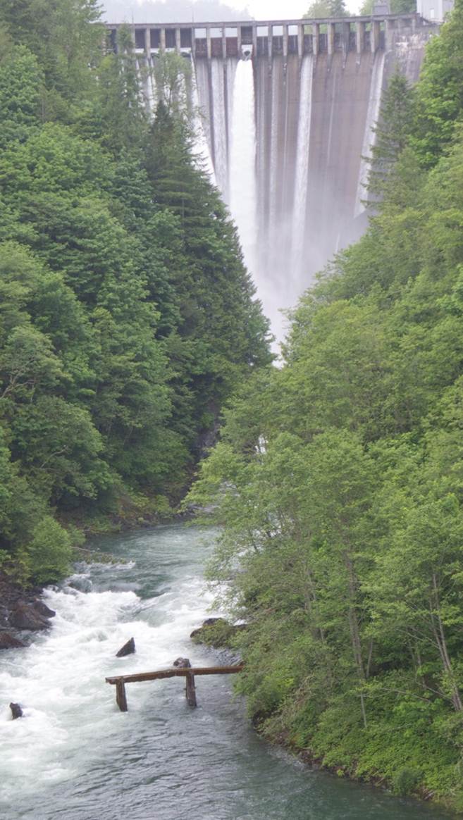
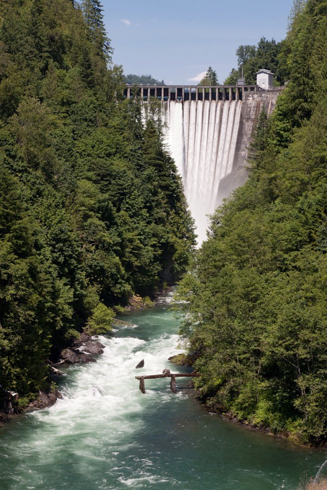
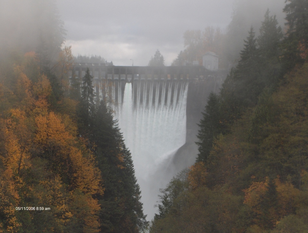
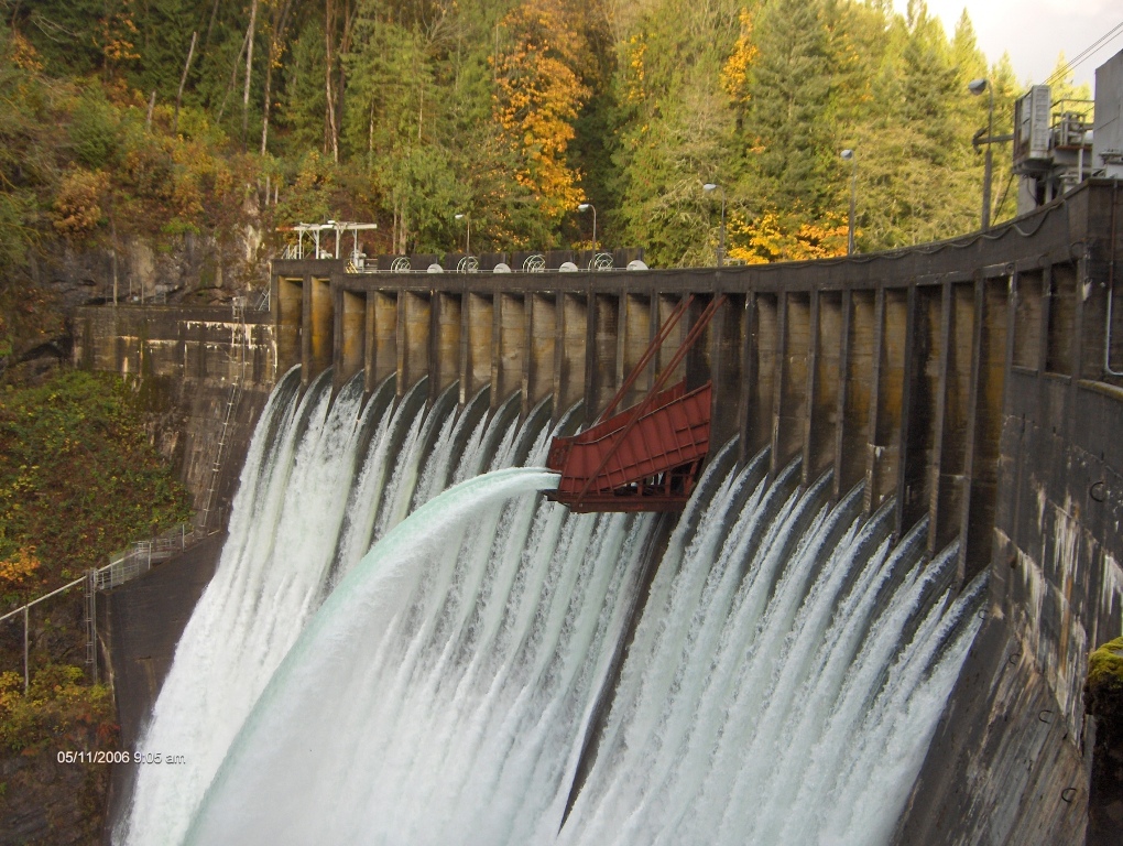
| Upper Baker Dam looking downstream | Upper Baker Dam looking upstream | Lake Shannon & Lower Baker Dam |
 |  |  |
| Close-up of Lower Baker Dam | Picture of Hamilton | Skagit at Pipeline Crossing, Sedro-Woolley |
 |
 |
 |
| Skagit at Sedro-Woolley Bridges | Oct 22 2003 log jam at Highway 9 | 10-21-03 Lafayette at Sterling |
 |
 |  |
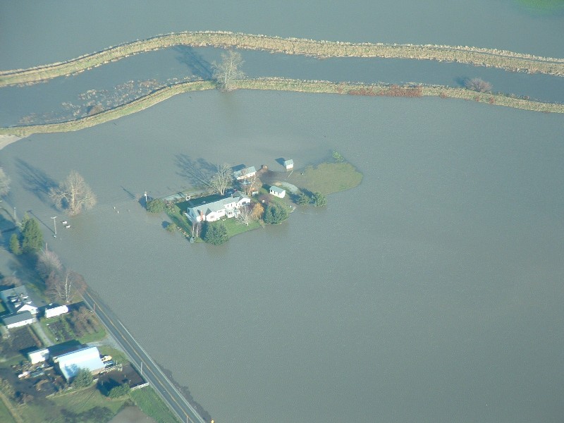
| Looking at houses along Lafayette Road | Nookachamps looking back at Burlington Hill | Skagit at BNSF Bridge - Burlington |
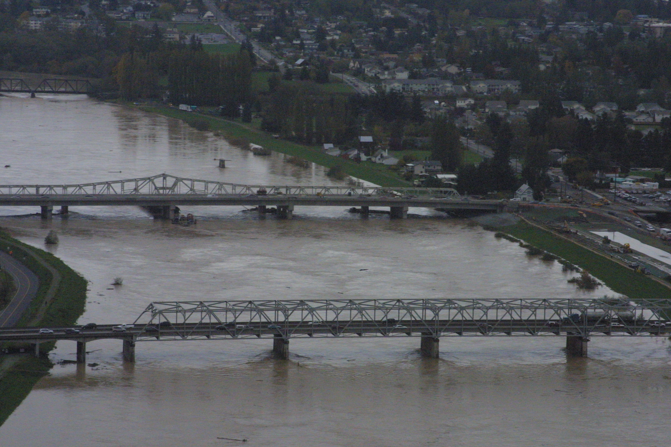 | 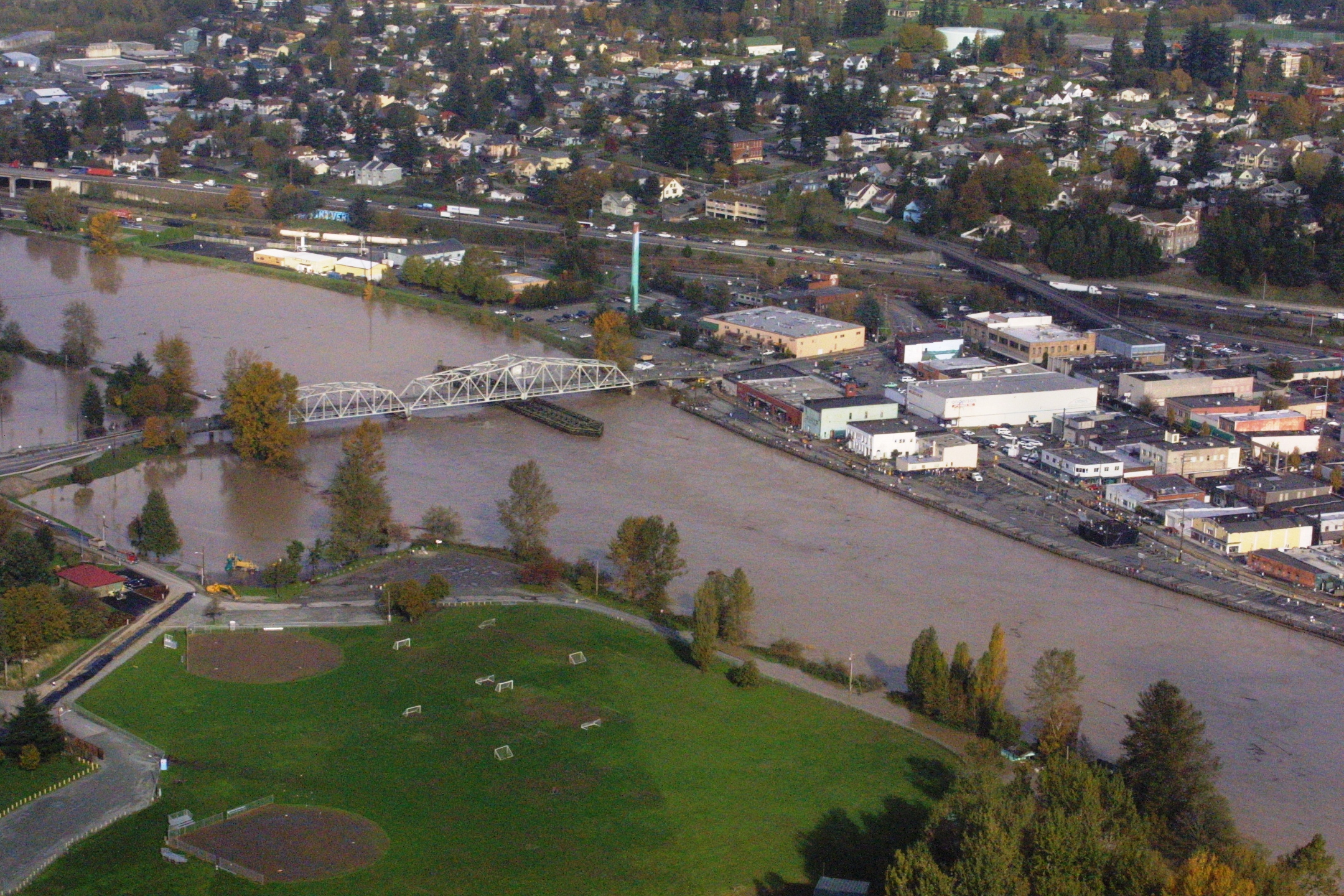 | 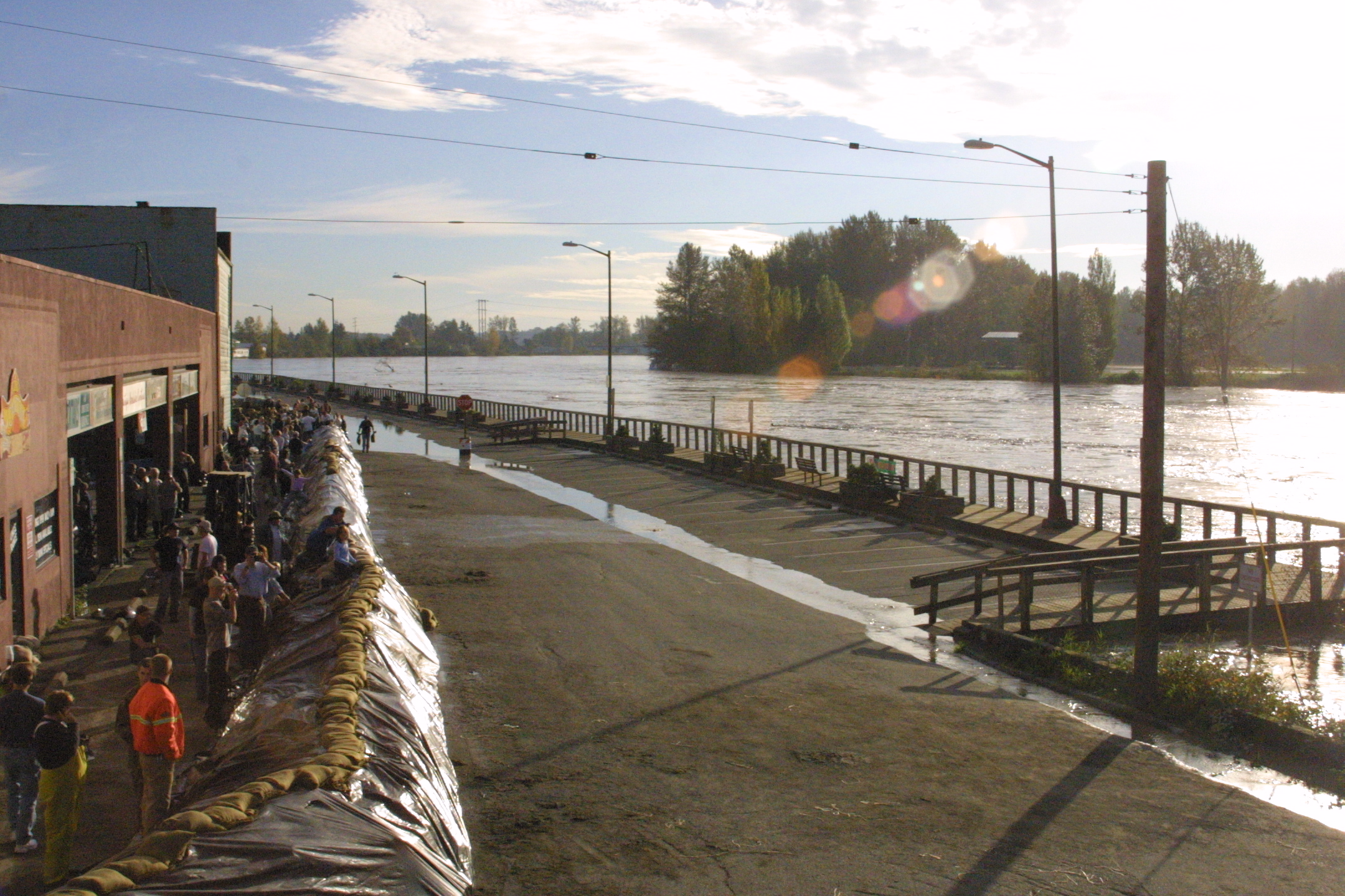 |
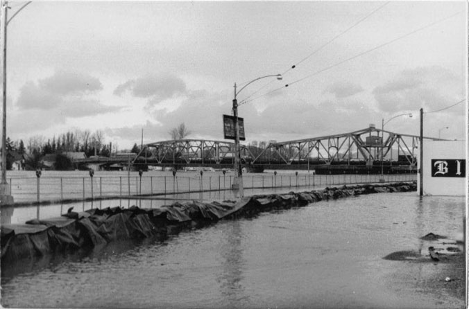
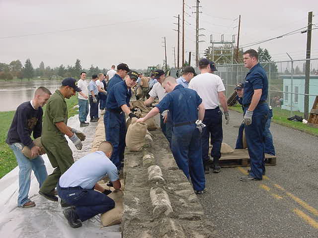
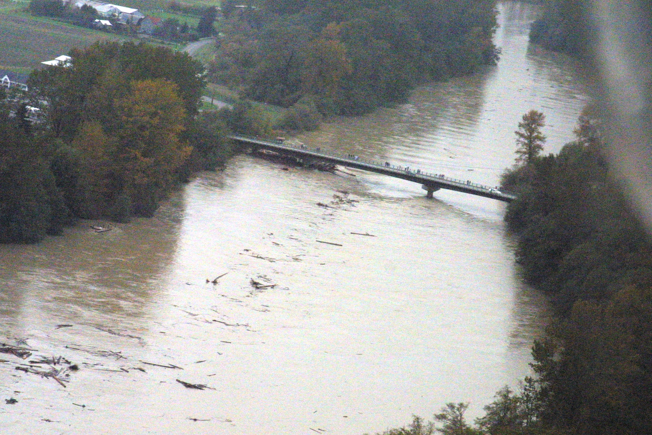
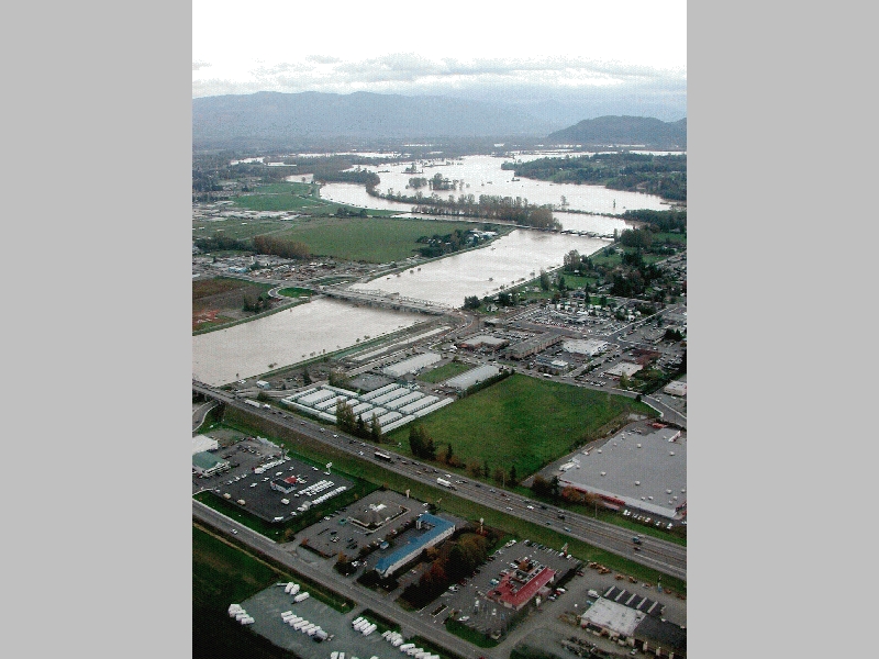
| Looking upstream at Bridge Corridor' (I-5, Two Riverside and BNSF Bridges linking Mt. Vernon and Burlington) | Aerial photograph of Skagit River at Division Street Bridge looking into Mt. Vernon | Sandbagging along the Mt. Vernon floodwall (same as 1951) |
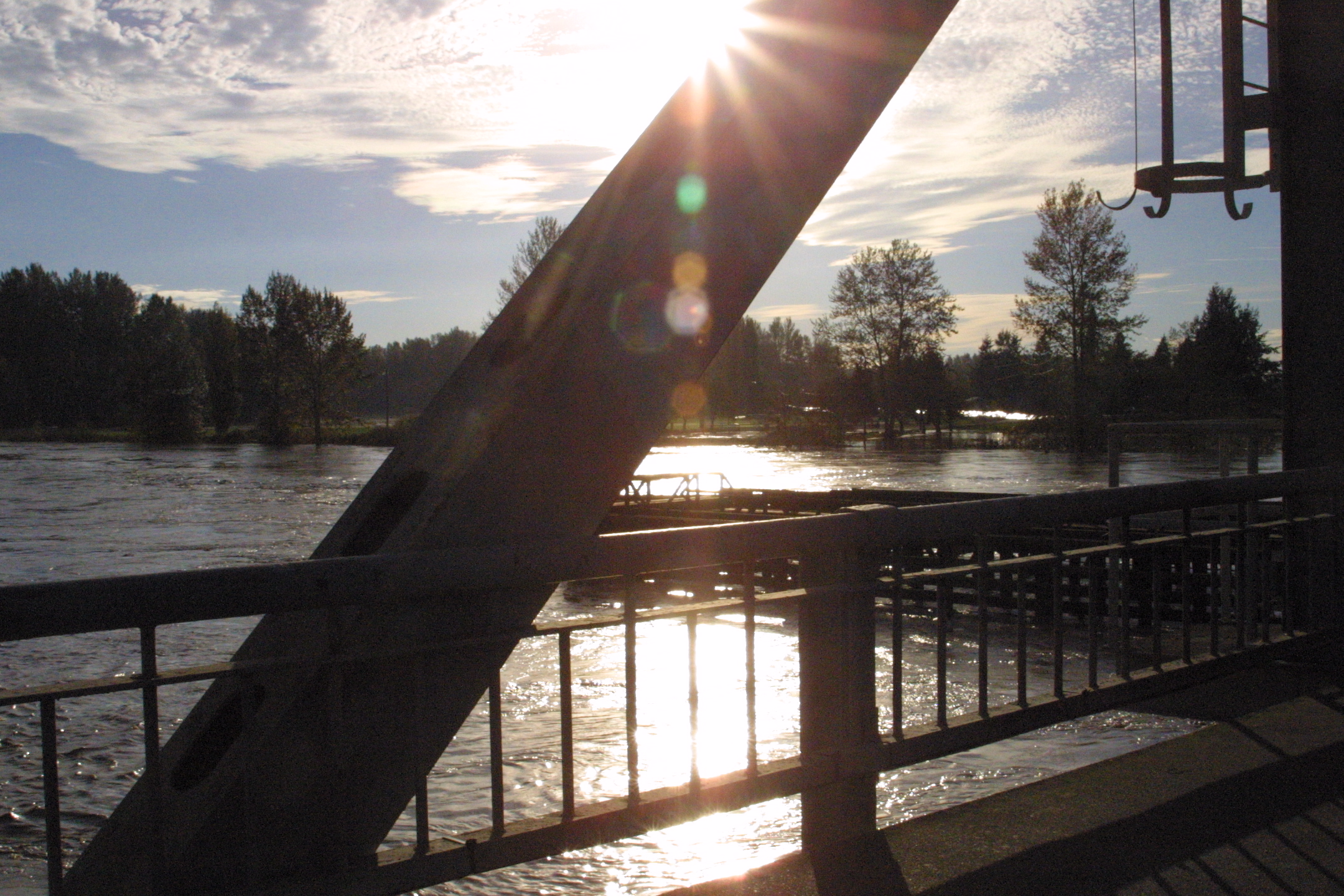 |  |  |
| Skagit River from Division Street Bridge | Skagit under Division Street Bridge |
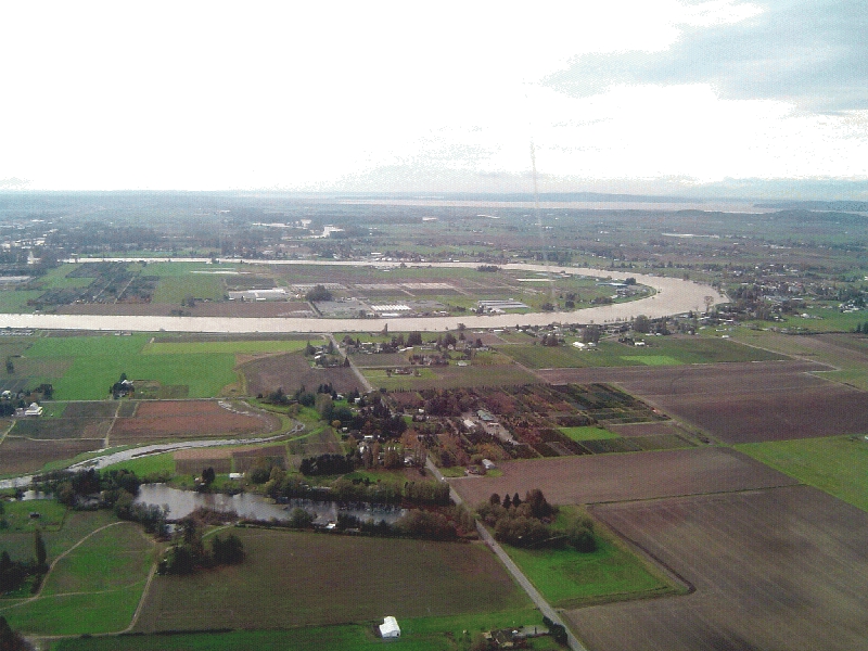
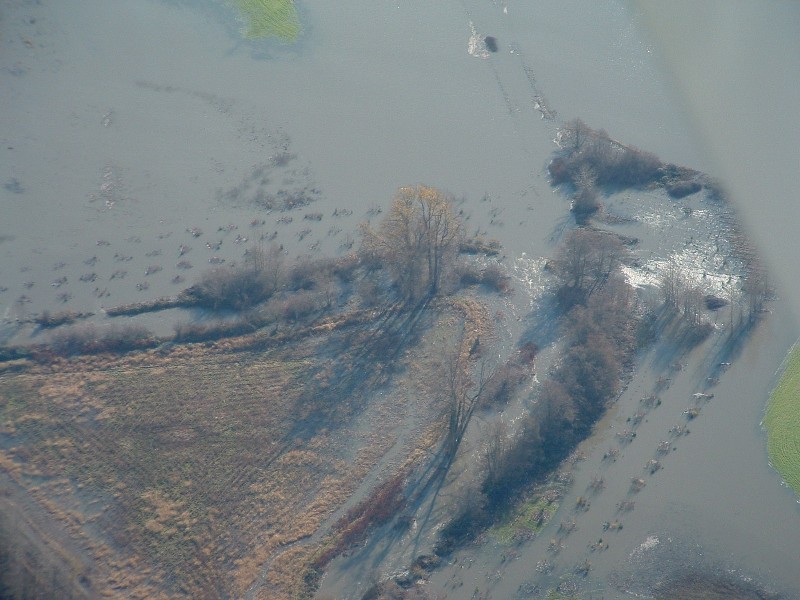
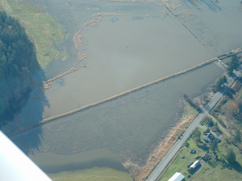
South Fork of Skagit (Fir Island at the top, Dike District 3 levee set-back project at left.) |
 |  |  |
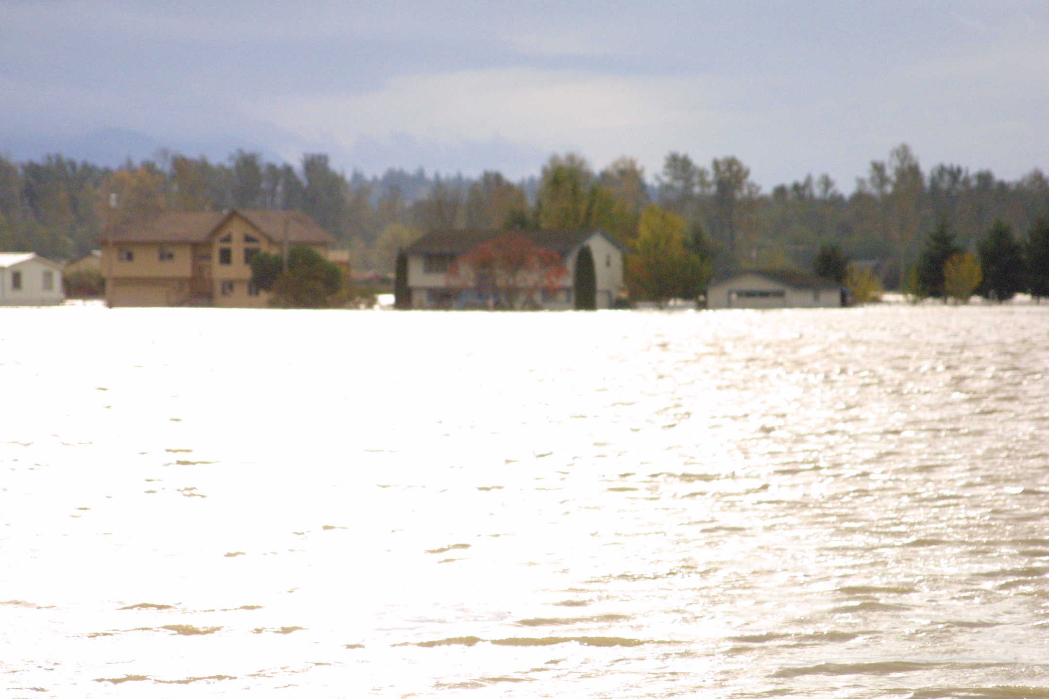
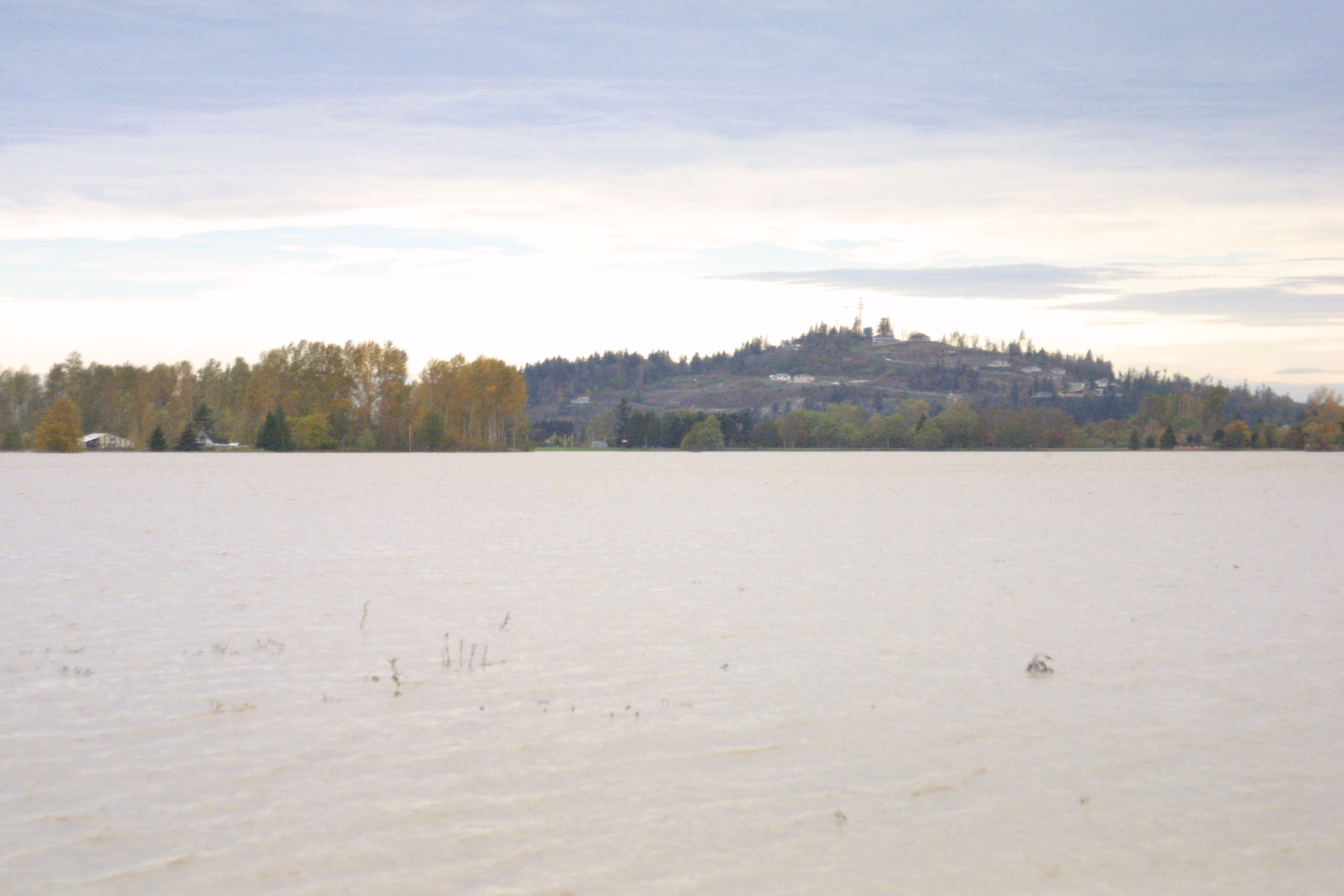
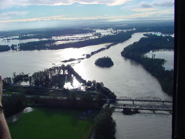
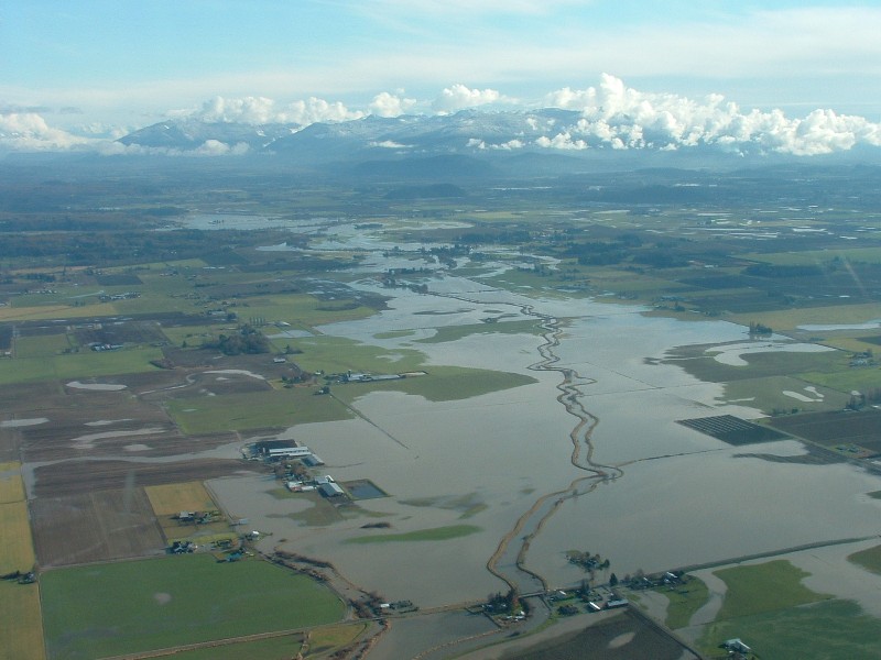
| Looking downstream at North Fork Bridge | Aerial photo of Fir Island & South Fork Bridge | La Conner |
|
Courtesy of
NOAA, Taken by U.S. Army Corps of Engineers, Seattle
District on October 22, 2003 (For 79 more pictures, start HERE) | ||
 |
 |
 |
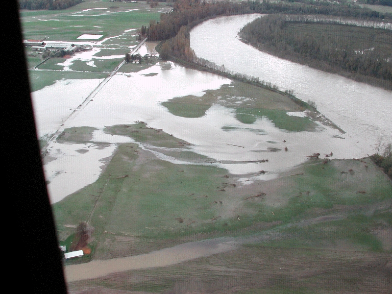
| Gages Slough and Riverbend area | Mount Vernon looking upstream at Burlington, then Nookachamps | Skagit River downstream from Sedro-Woolley bridges; Nookachamps under water on the left |
 |
 |
 |
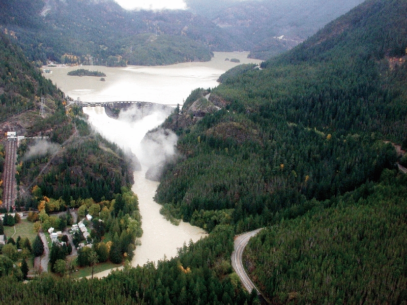
| Cockreham Island levee breach | Bottom up: Skagit River, mouth of Baker, Town of Concrete, Lower Baker Dam and Lake Shannon | Upper Baker Dam |
 |
 |
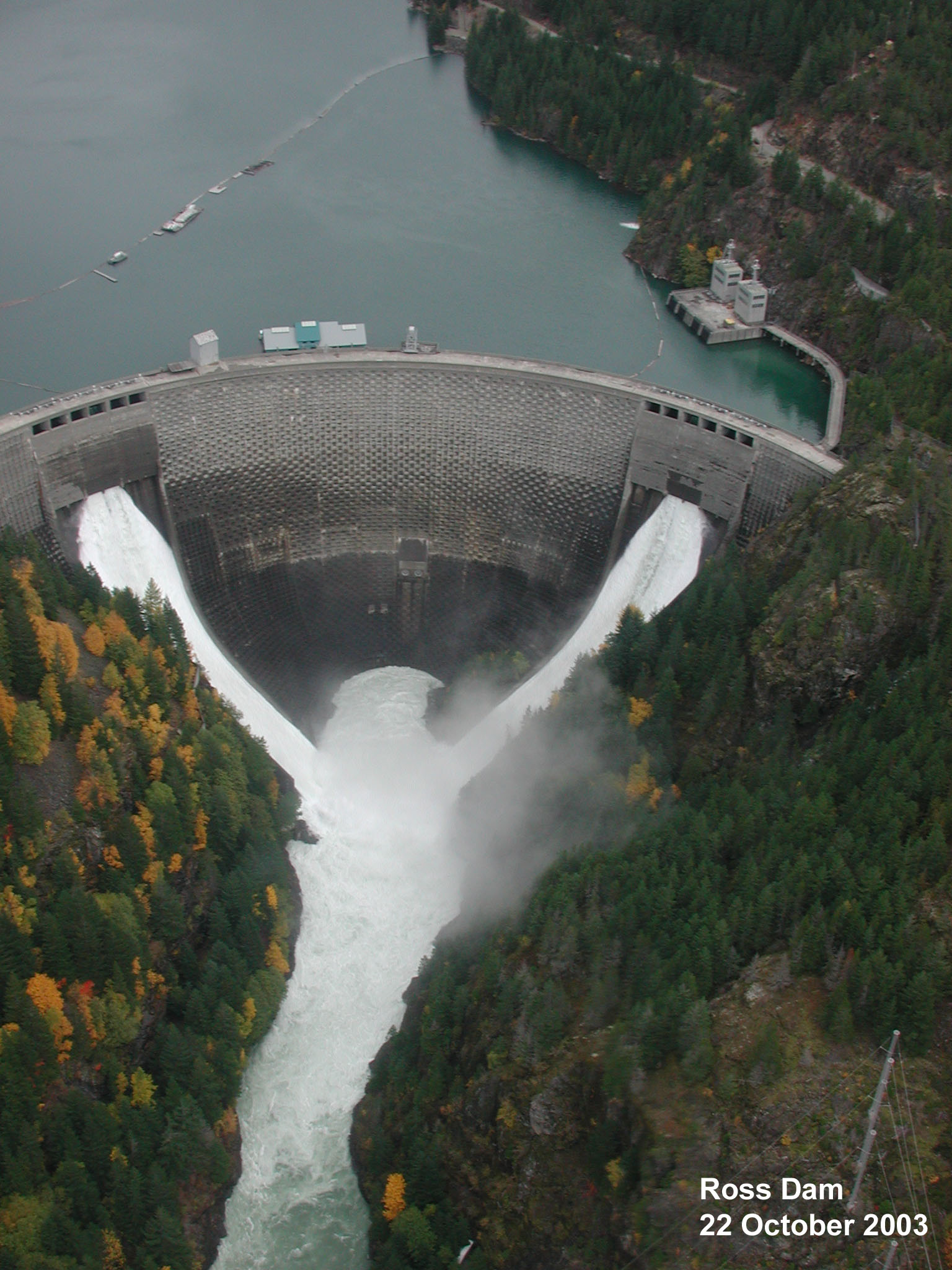 |
| Diablo Dam | Counter-clockwise: Diablo Dam, Incline Railway and Town of Diablo | Ross Dam |
|
2003 Samish River Flood Pics Photos by Washington State Department of Transportation (WSDOT) |
||
 |
 |
 |
| Breech in Samish River Levee West of I-5 | East End Thomas Creek | Home Near Farm to Market Road |
 |
 |
 |
| Kellerher Road Near Green Road | Looking Southeast Over Mouth | North of Alger Looking South |
 |
 |
 |
| Over I-5 Looking North | Quarry on Thomas Creek | Samish Mouth |
 |
 |
 |
| SR-11 at Allen West Road | Thomas Creek Breech | Zoom of Breech in Samish River West of I-5 |
| For the story behind the pictures - please go HERE and search our document & historical newspaper archives. | ||
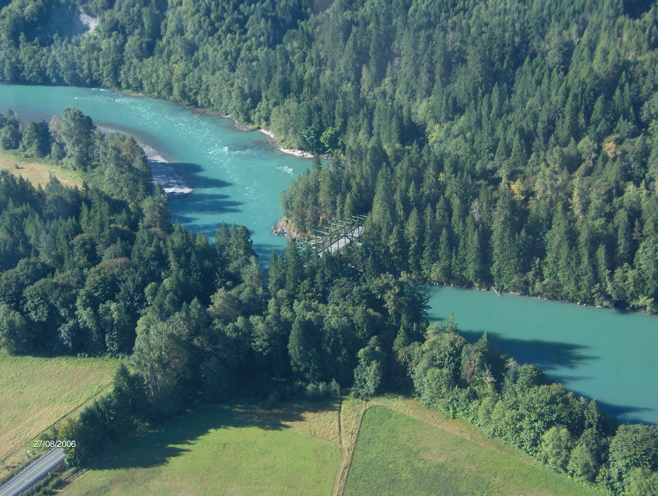
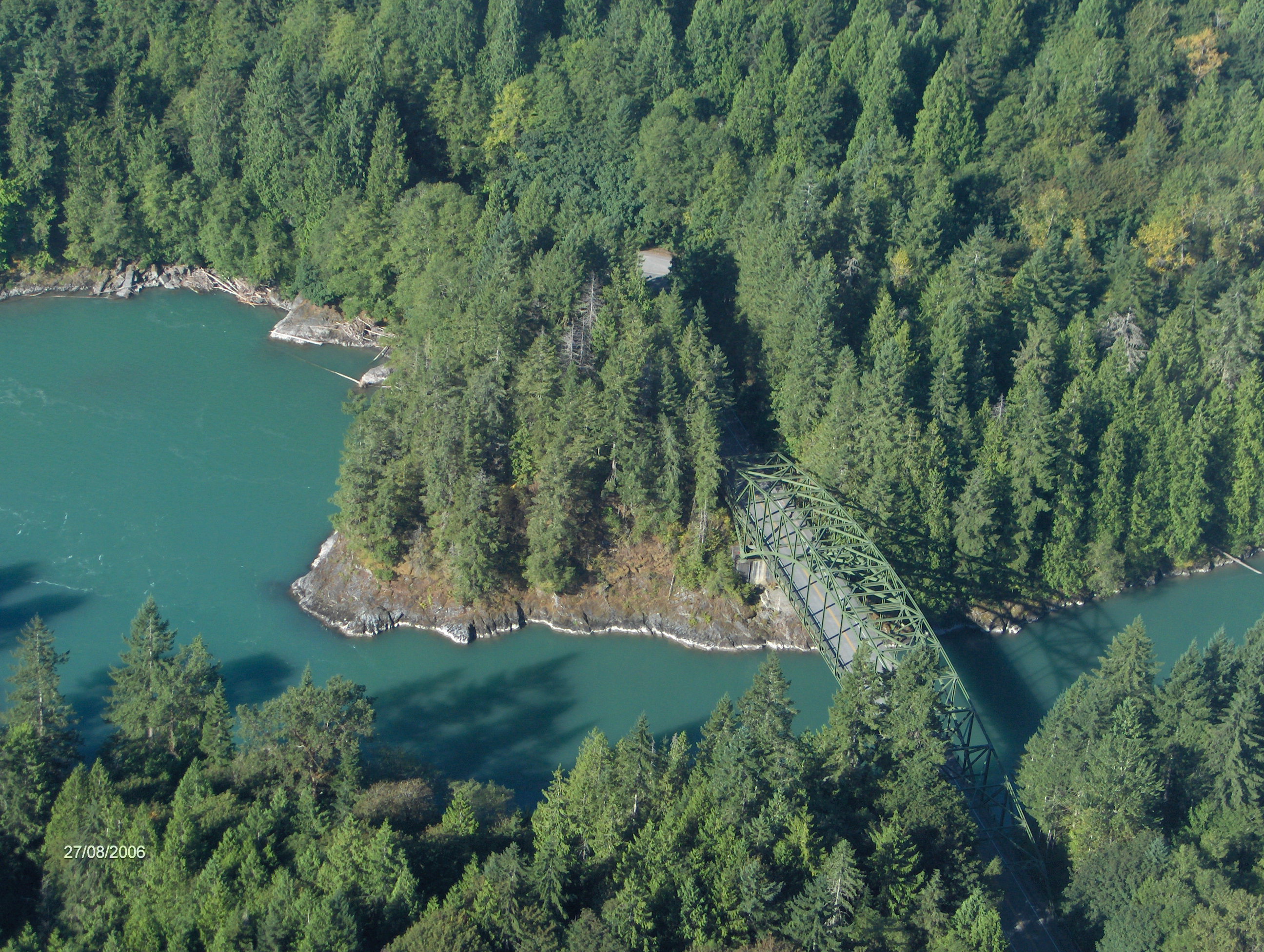
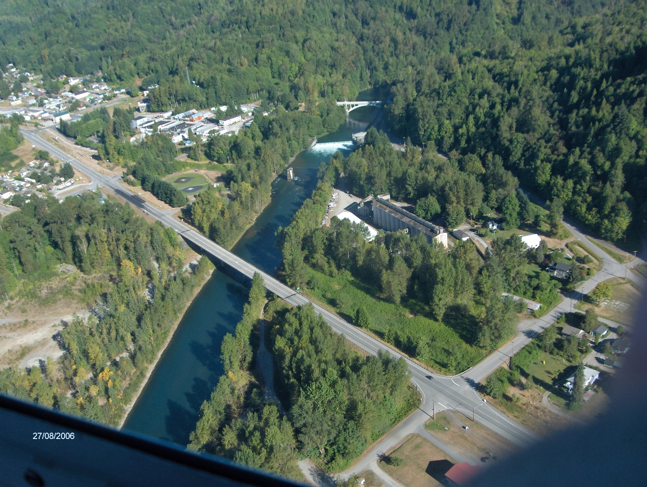
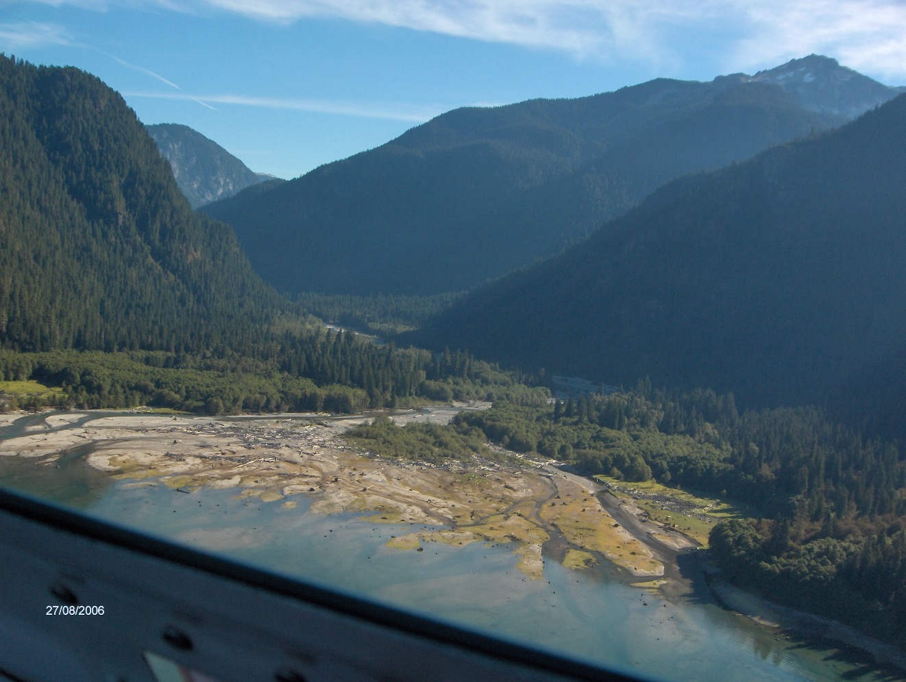
| Aerial Pictures Taken August 27, 2006 | ||
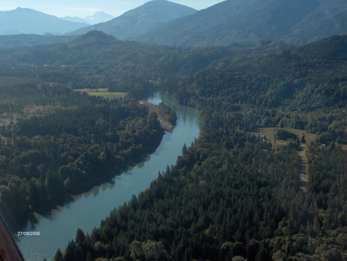
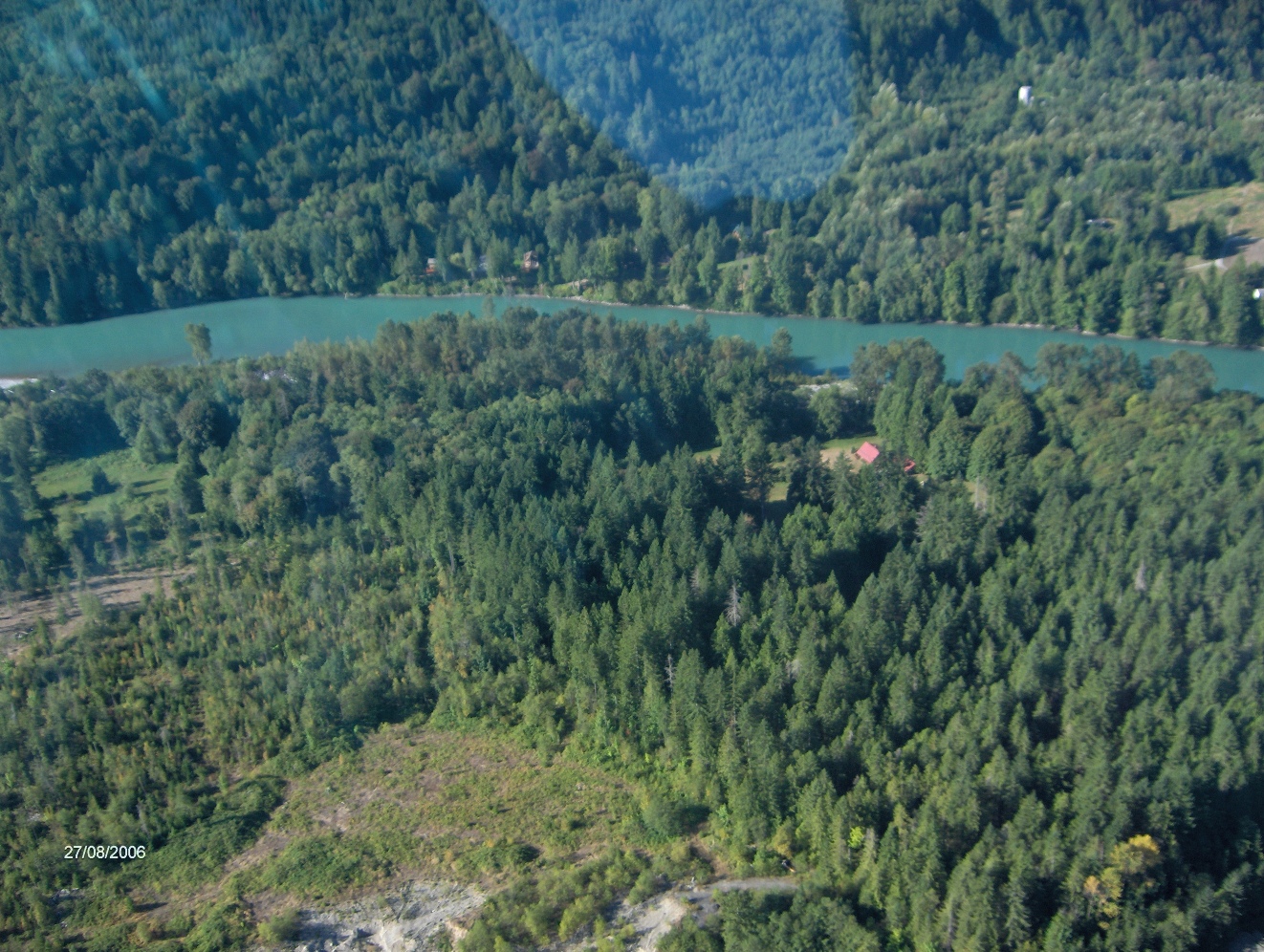
| The Dalles, Concrete, Washington | ||
 |
 |
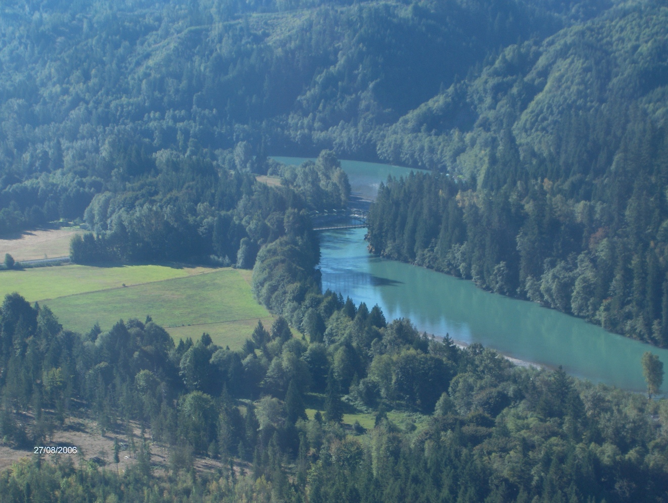 |
| Downstream of The Dalles | The Finstead Ranch | Downstream of The Dalles |
 |
 |
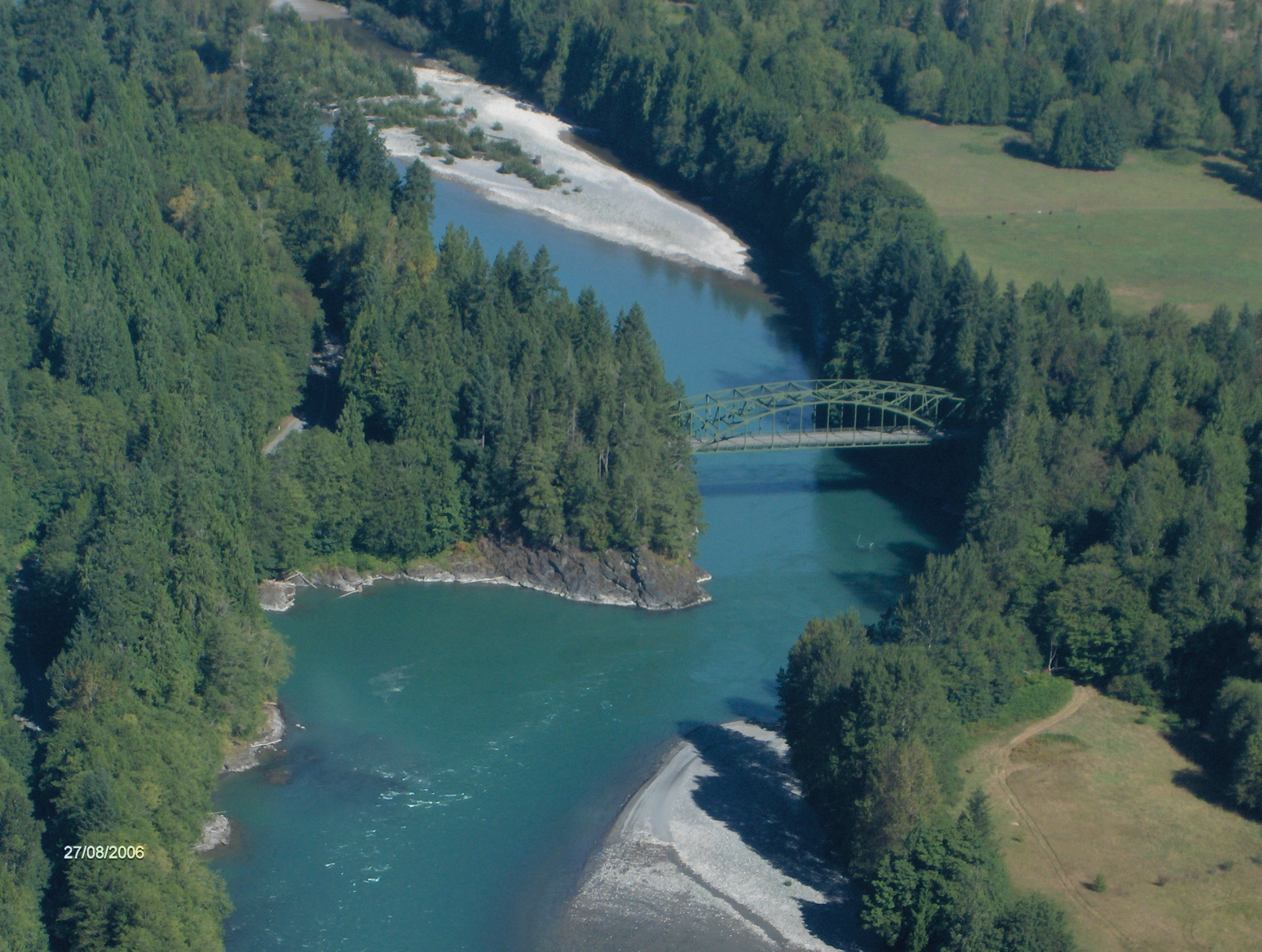 |
| The Dalles Bridge | The Dalles Looking South | The Dalles Looking East |
| Baker River | ||
 |
 |
 |
| Concrete and Baker River | Baker River Mouth Into Baker Lake | Lake Shannon and Concrete |
| Sauk River | ||
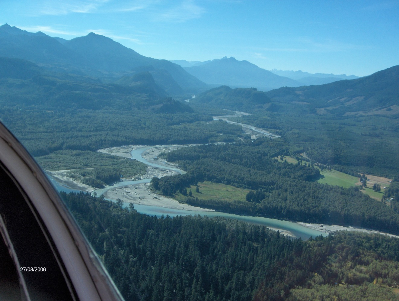 |
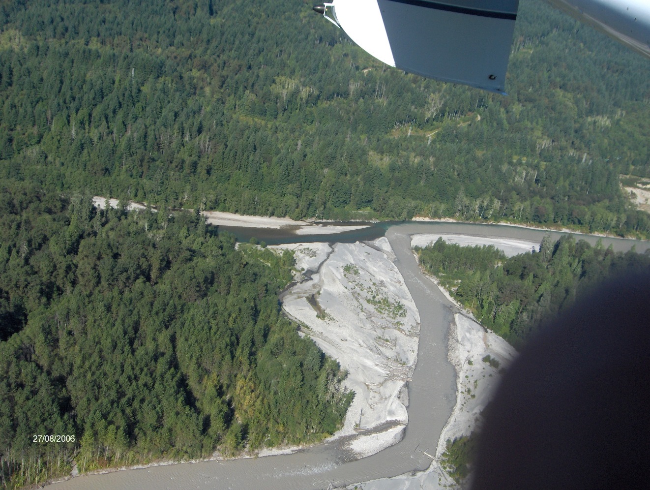 |
 |
| Mouth of the Sauk River | Suiattle River into Sauk River | Rockport and Howard Miller Bridge |
| The Volcanoes | ||
 |
| |
| Mount Baker | Glacier Peak | |
| For more information - please go HERE and search our archives. | ||
| Pictures of 2006 Flooding | ||
| Courtesy of William L. "Willy" LaRue of the City of Anacortes | ||
.JPG) |
.JPG) |
.JPG) |
| Anacortes Water Treatment Plant intake station | Sandbag Wall In Front of Water Treatment Plant | Soldiers placing sandbags around the Anacortes Water Treatment Plant |
|
|
||
| 2006 Hamilton Post-Flood Photos | ||
 |
 |
 |
| The consequences of building flat on the ground in a floodway. | "Smith House" after the Nov. 2006 flood. No water entered the house in a flood of 145,000 CFS at Concrete that didn't reach the top of the steps. However, in 1921, which USGS declares was 228,000 CFS - no evidence of water marks were found inside the house during 2006 & 2007 forensic studies. See Historic Flood Flows of the Skagit River & WJE Smith House Forensic Report | |
|
|
||
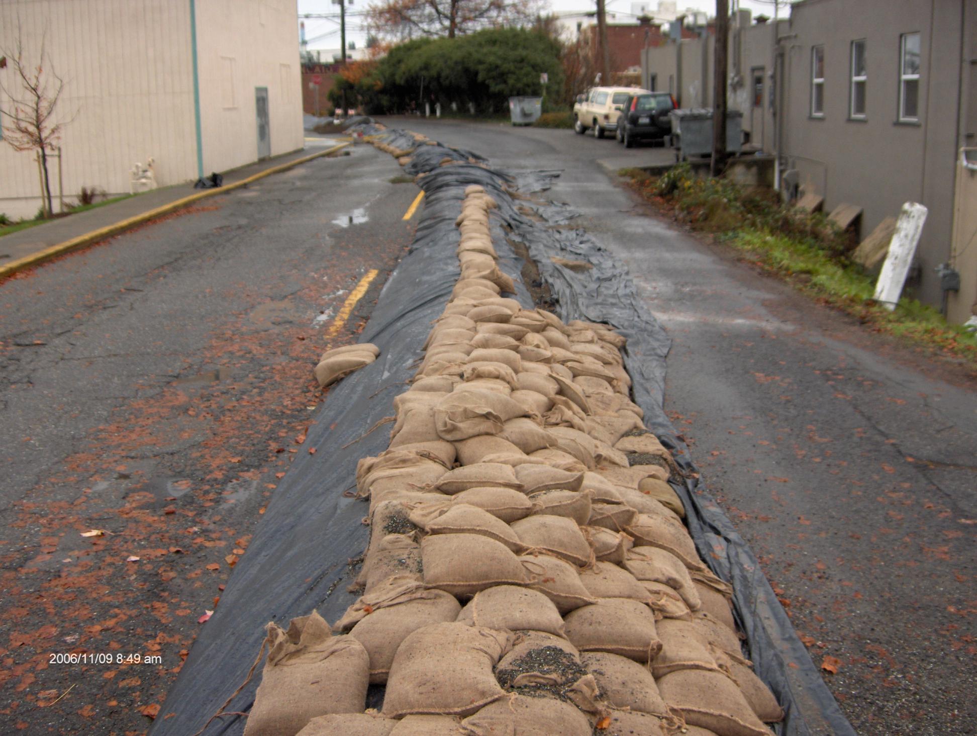
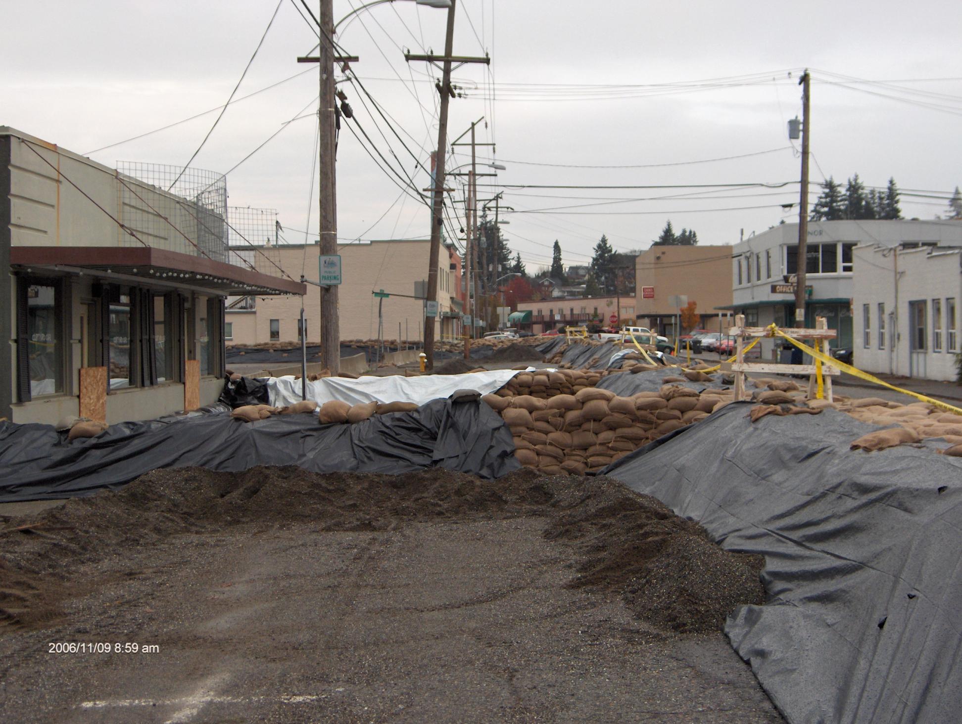
| November 9, 2006 Mt. Vernon Photos by Josef Kunzler, Webmaster | ||
 |
|
 |
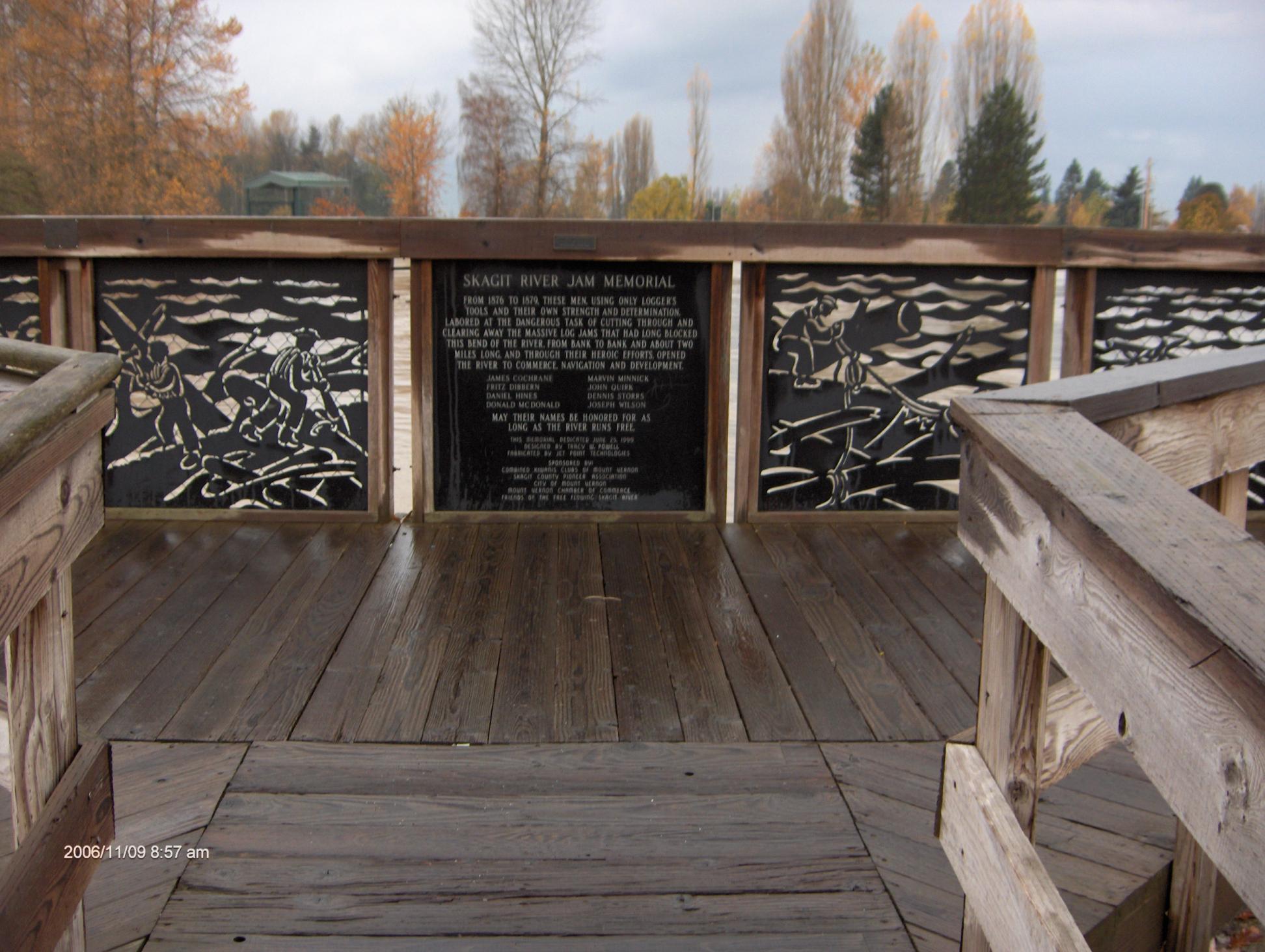
| Skagit River Jam Memorial | Panorama from Eaton's Books to Division Street Bridge looking southwest, Skagit River at 29' elev. | Photo taken 9:15 AM from Division Street Bridge, Skagit River at Mount Vernon at 29.260' elevation. |
 |
 |
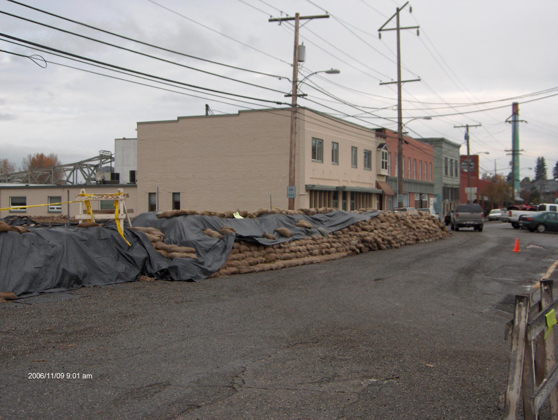 |
| Photos of the sandbag wall built by the City of Mount Vernon | ||
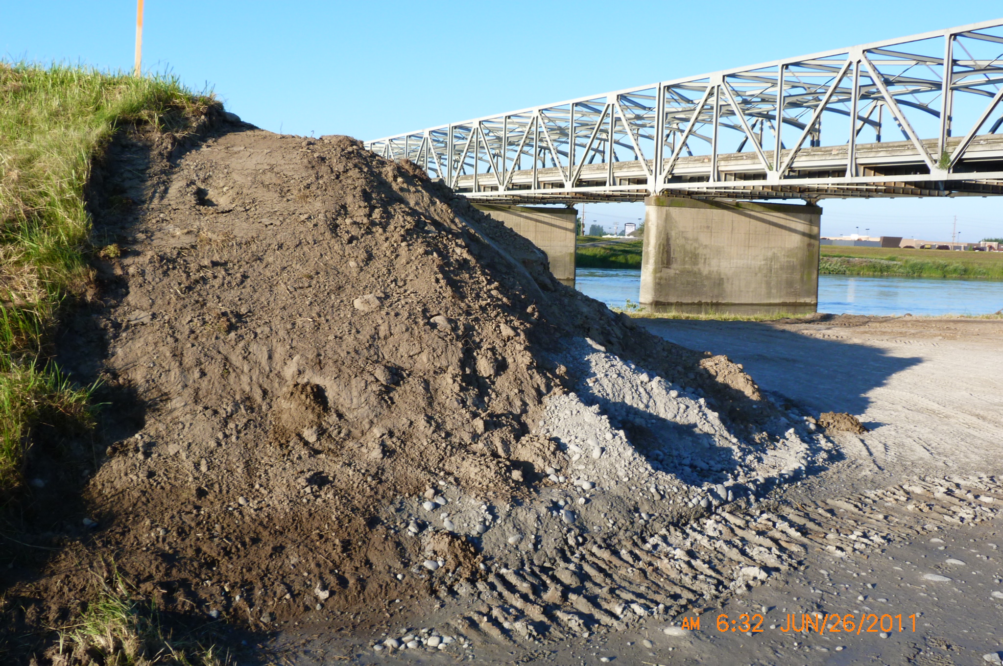
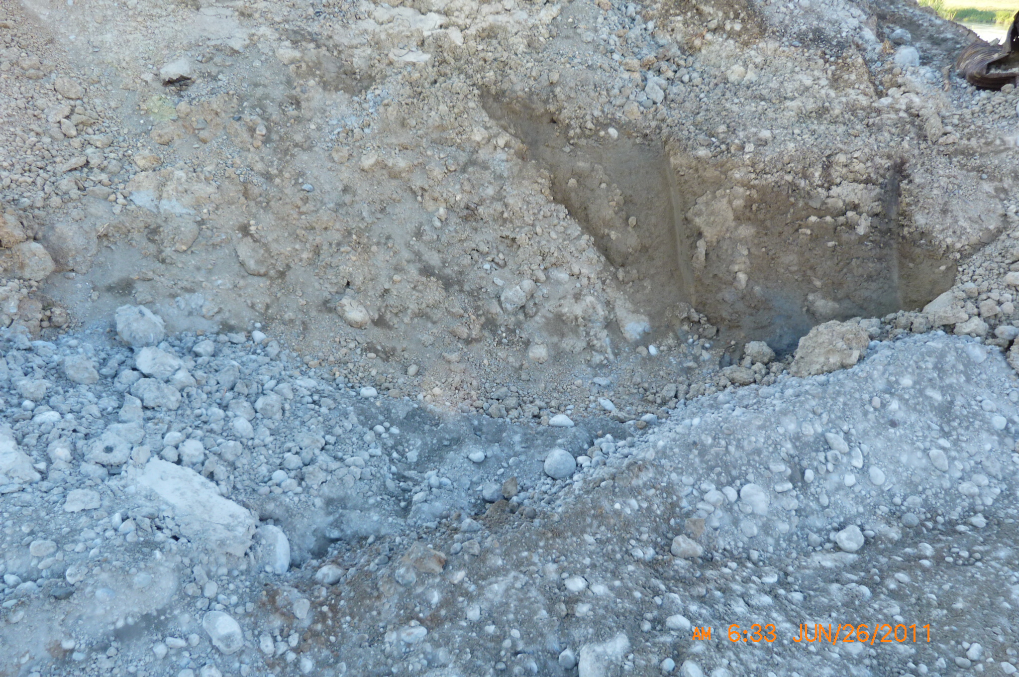
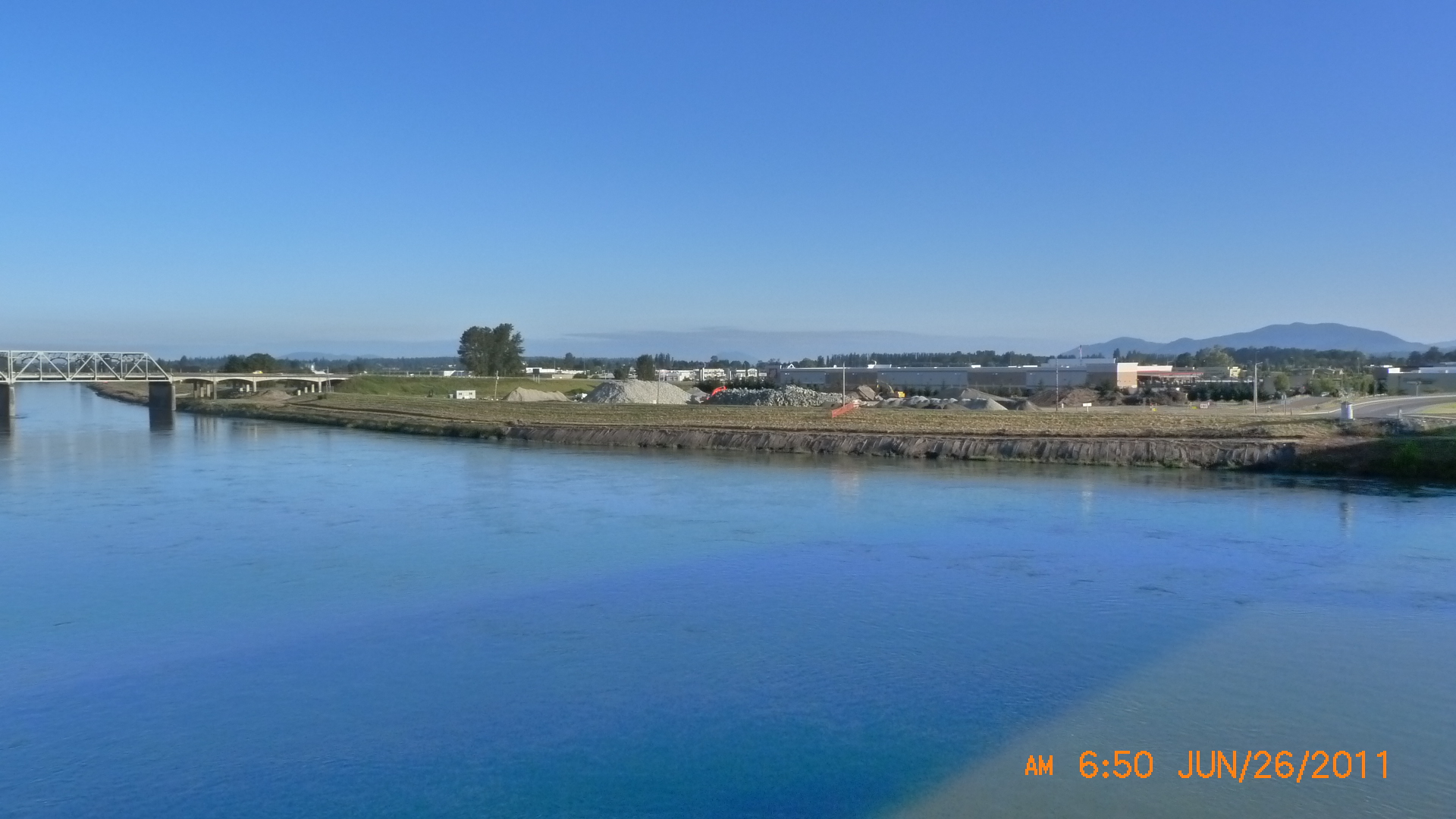
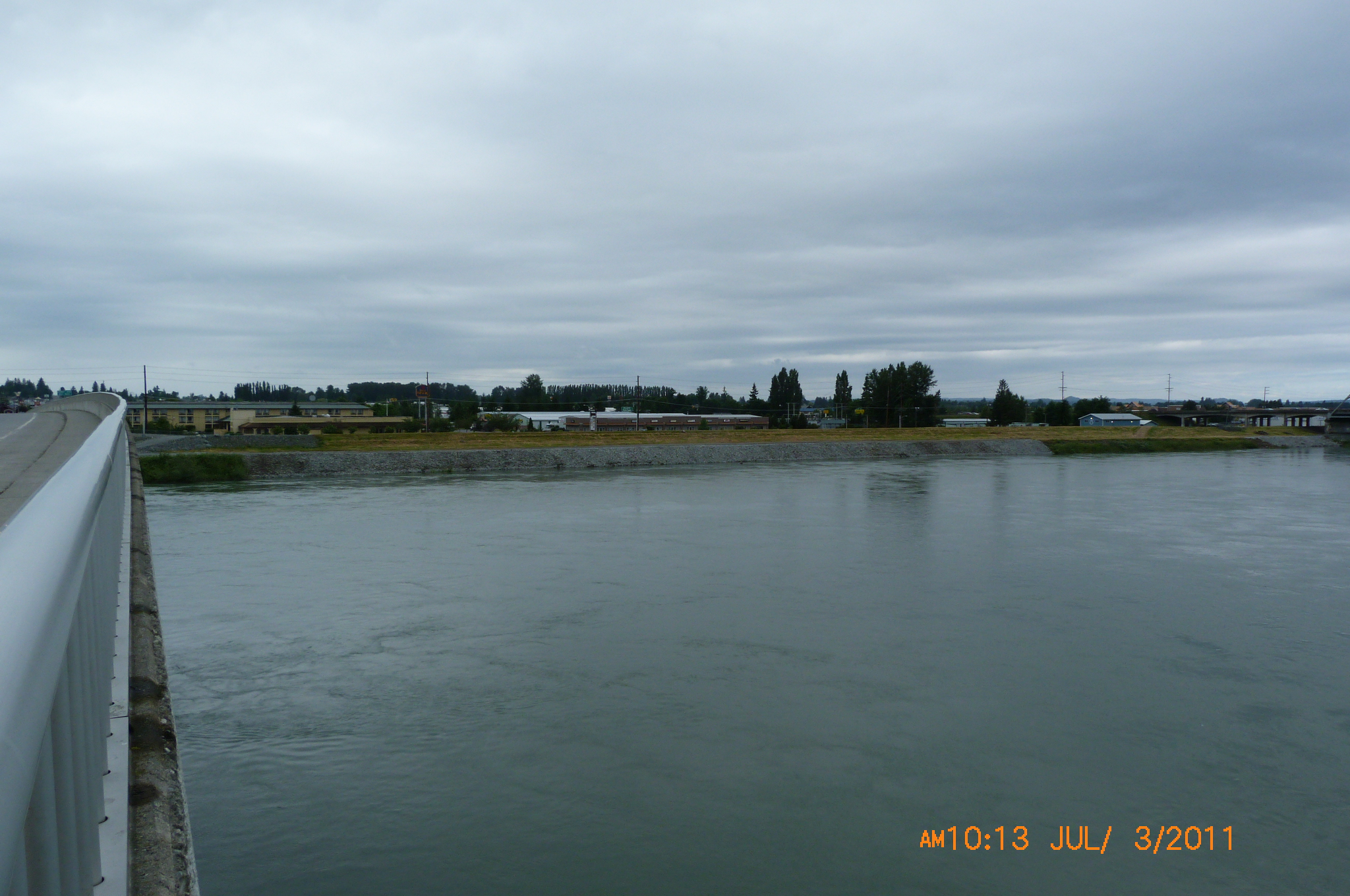
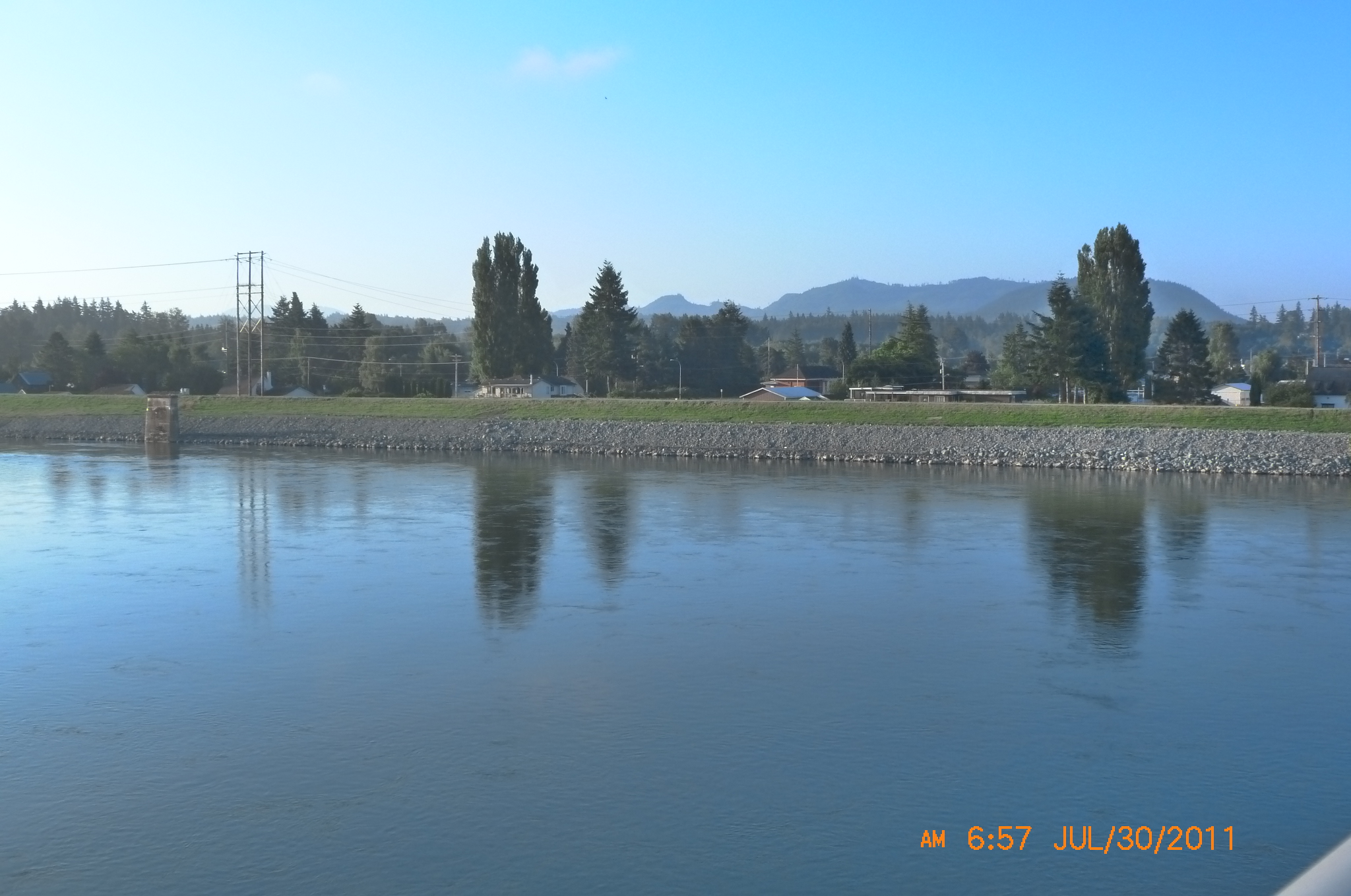
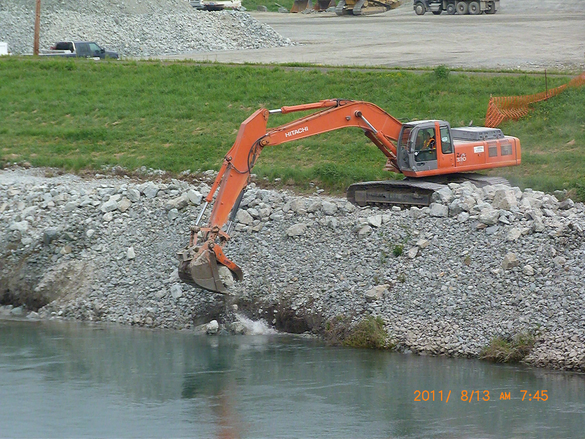
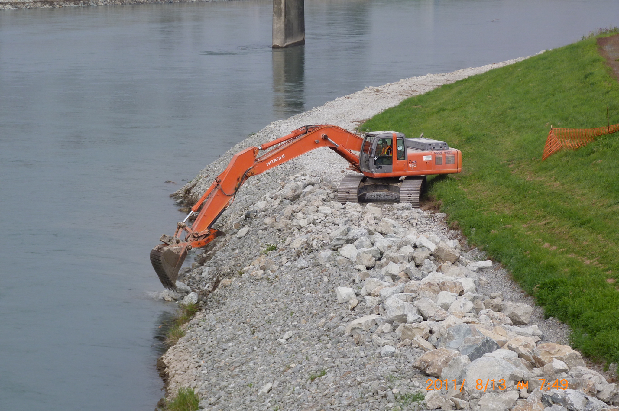
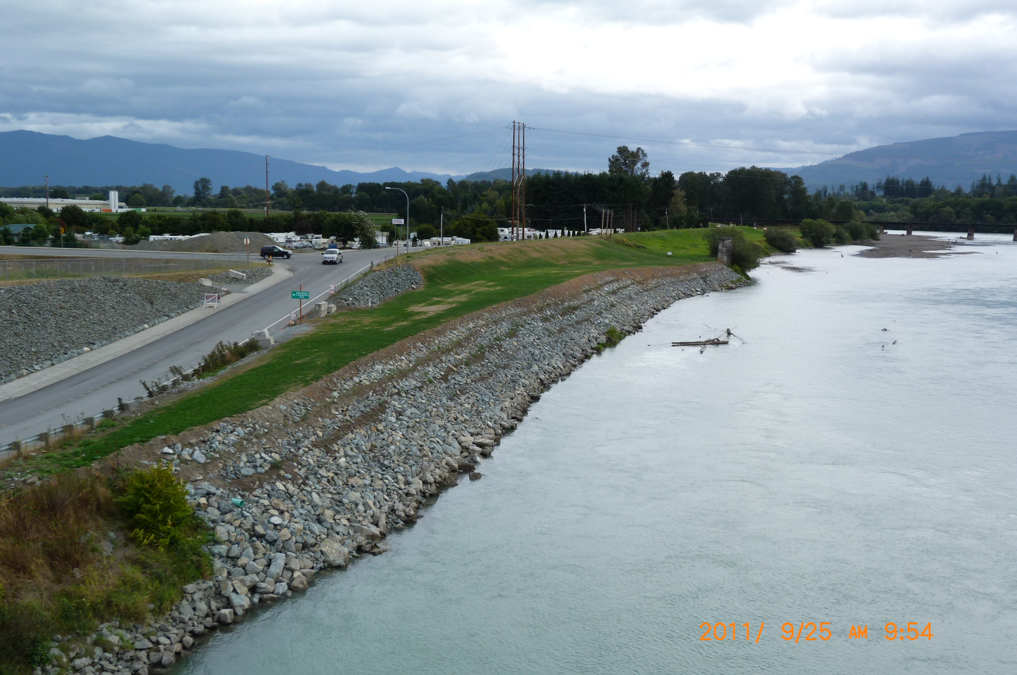
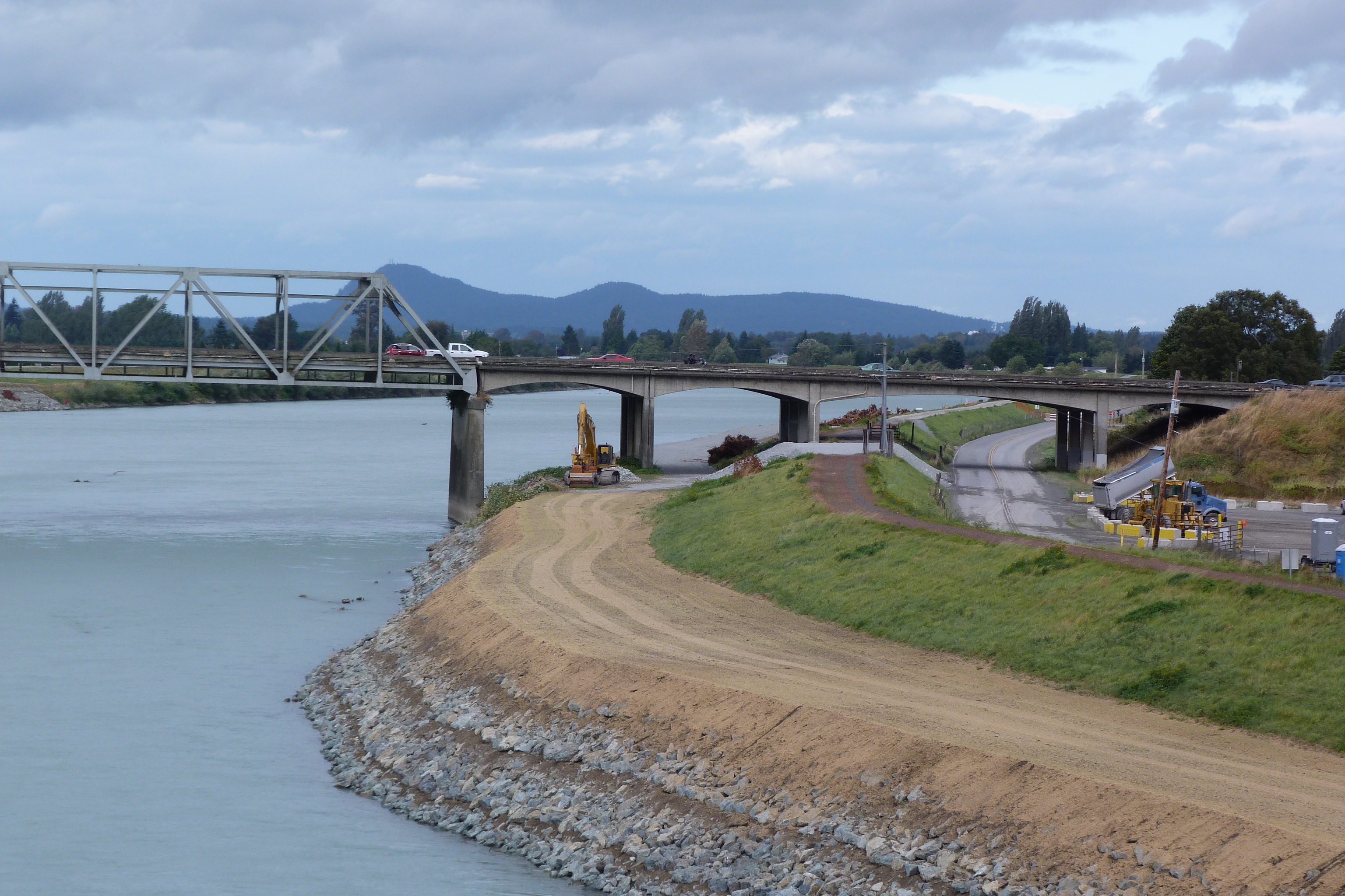
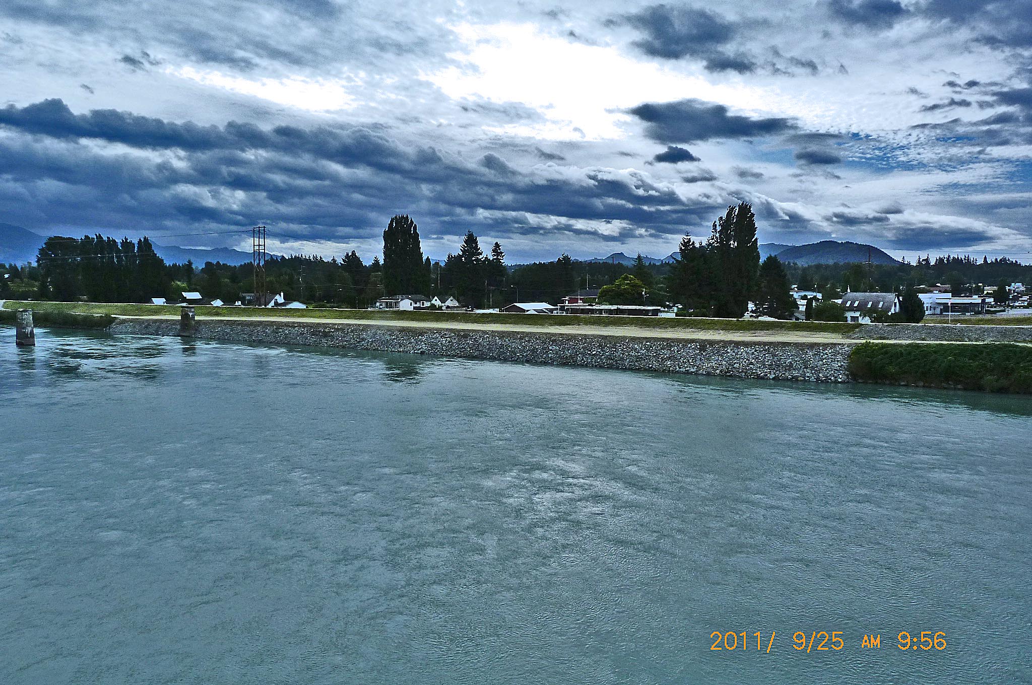
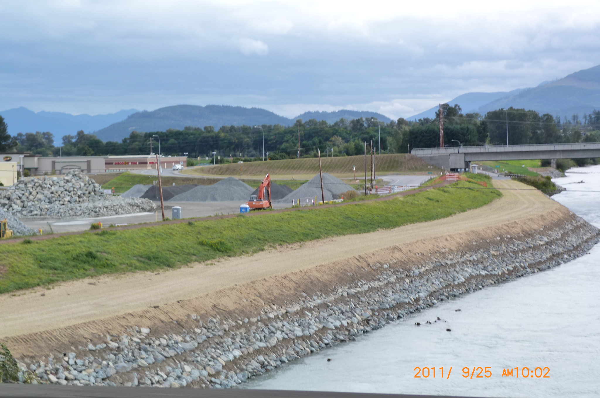
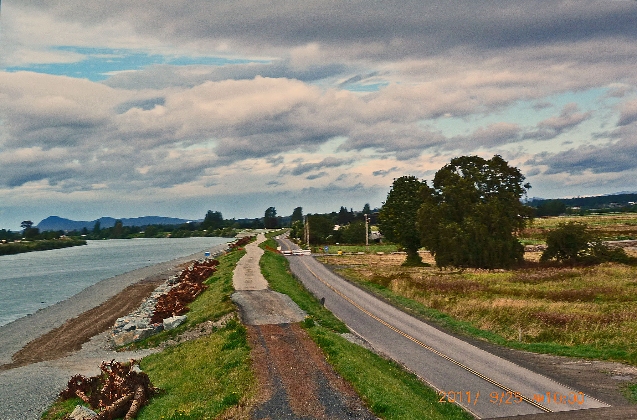
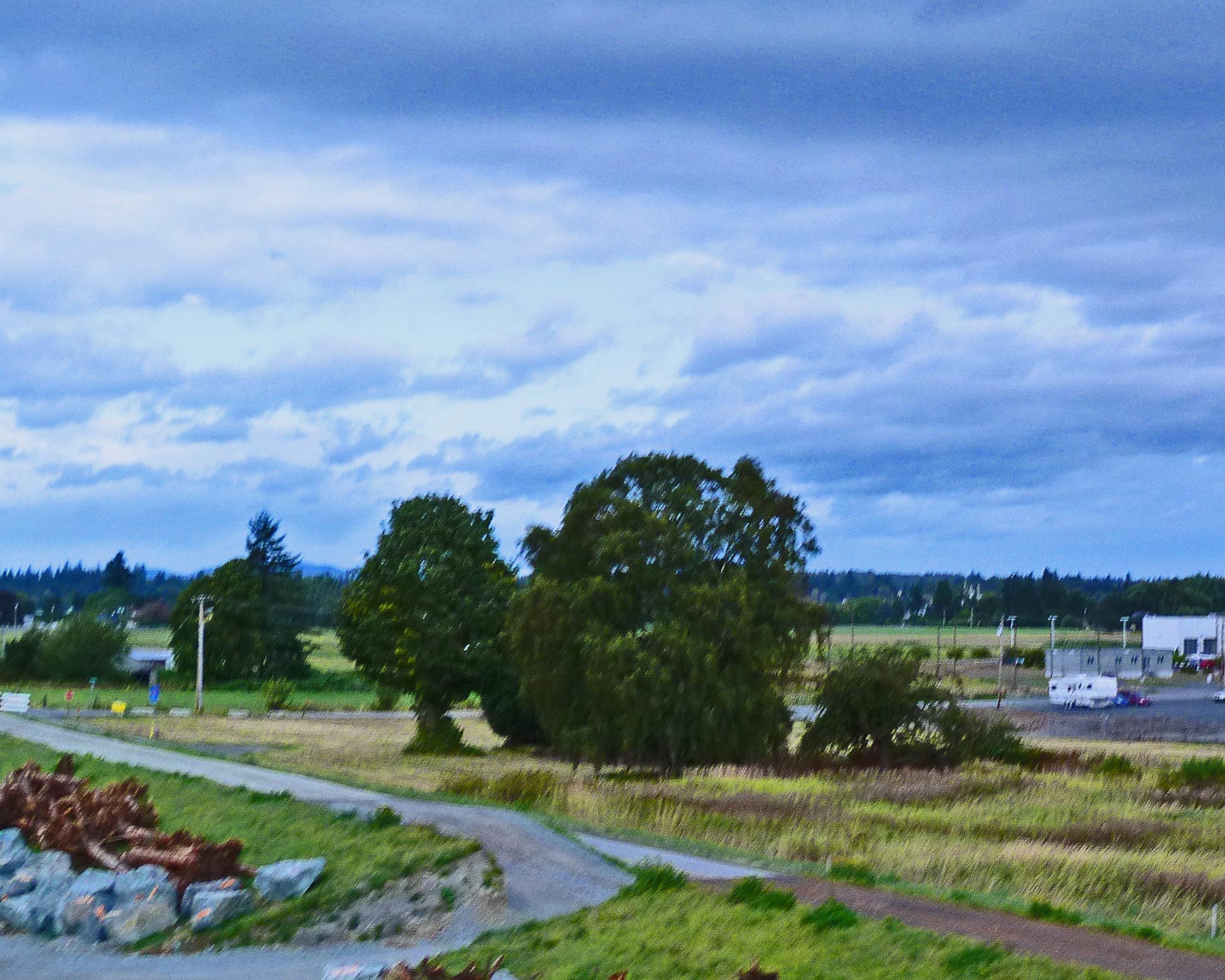
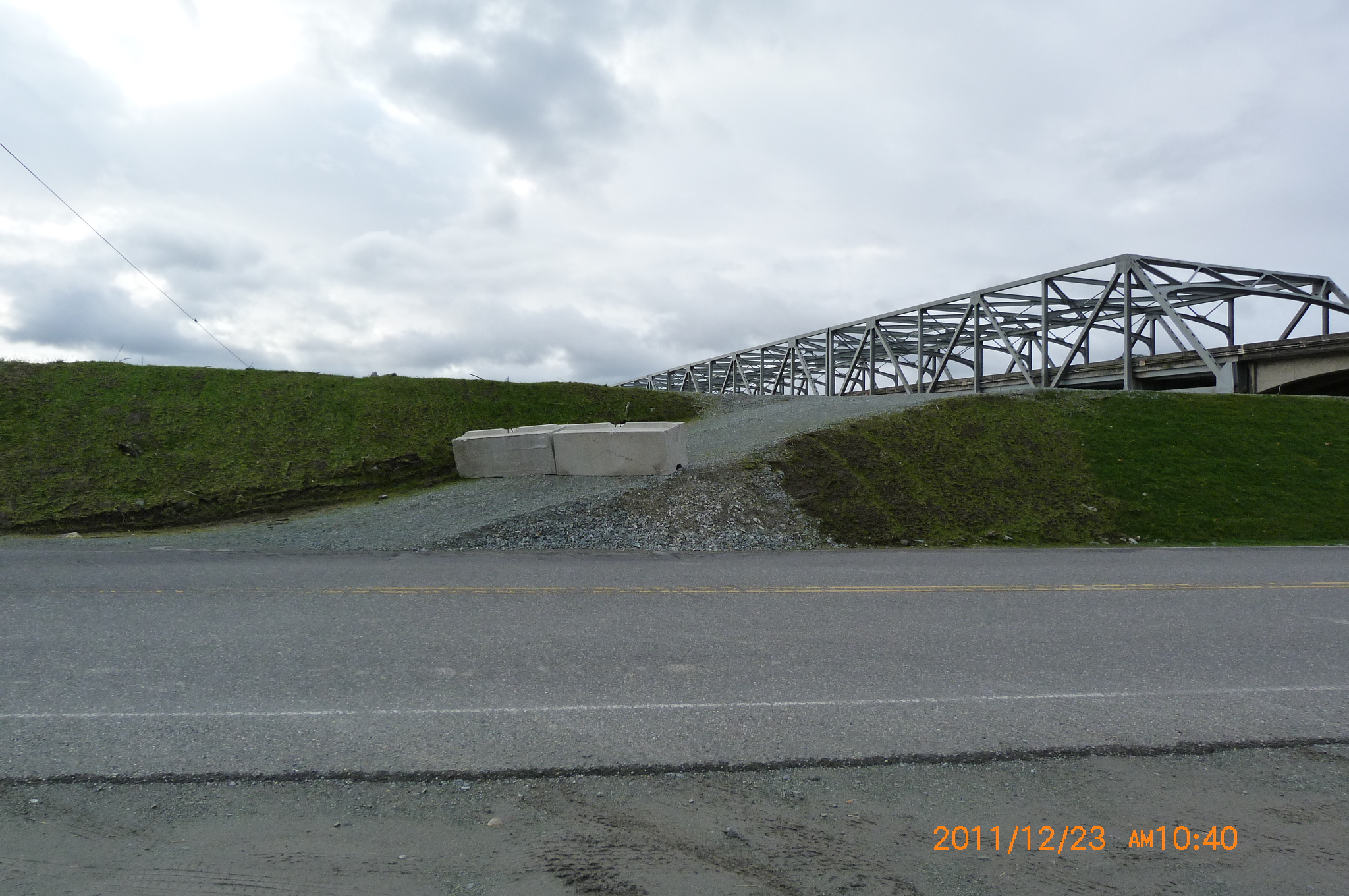
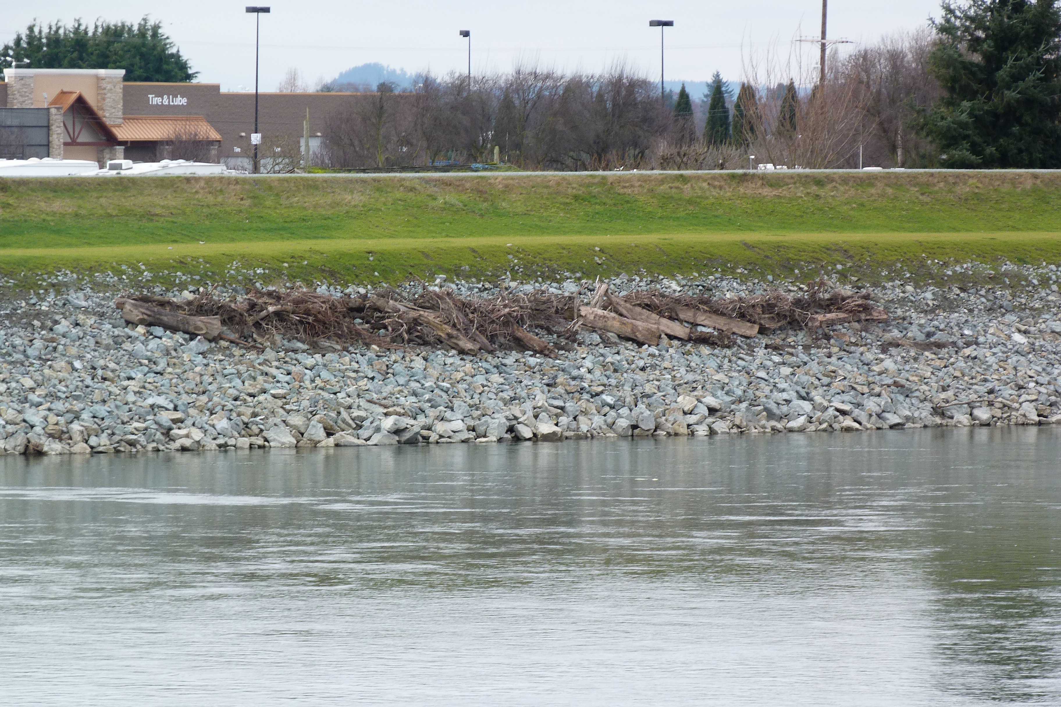
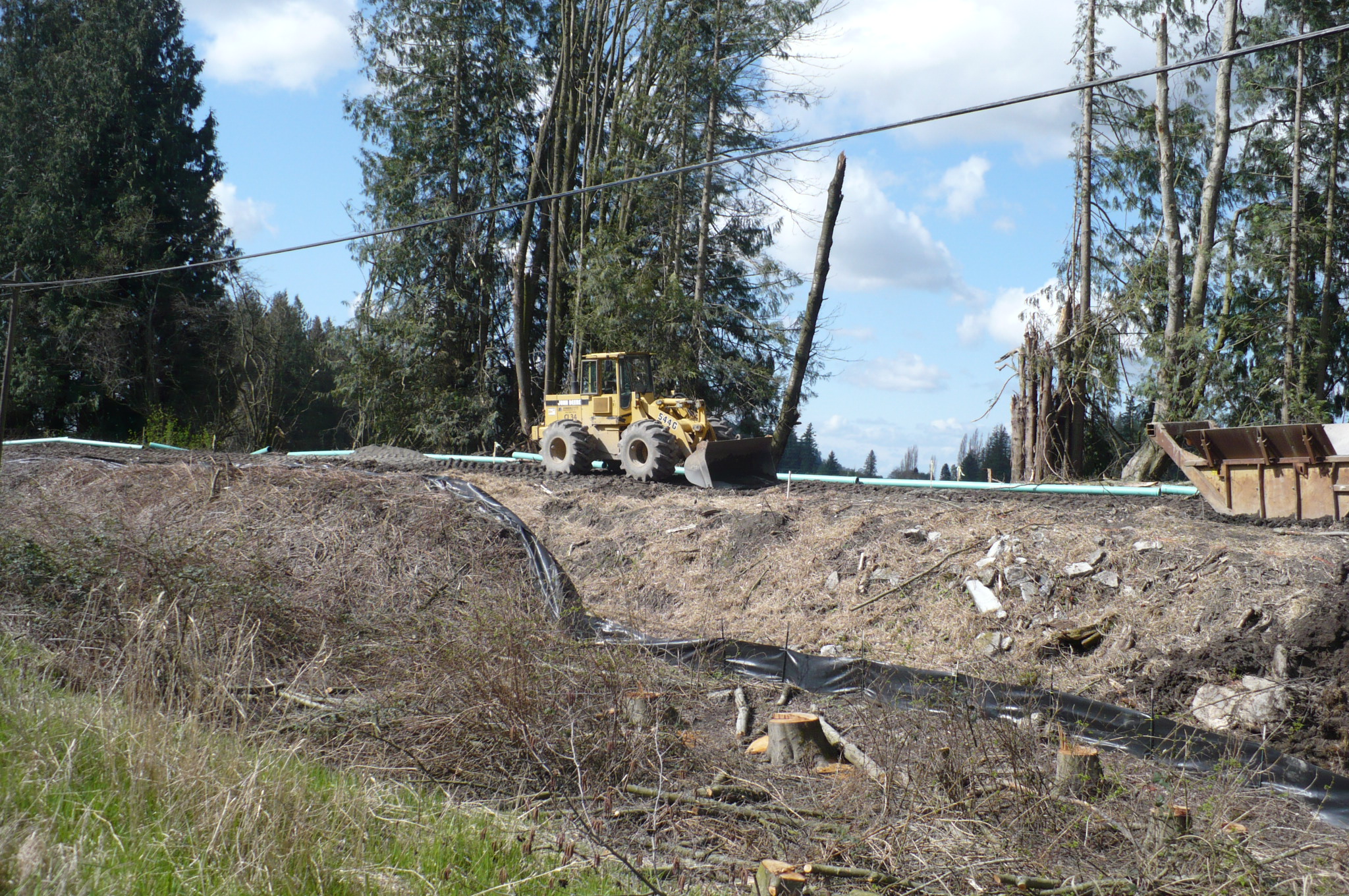
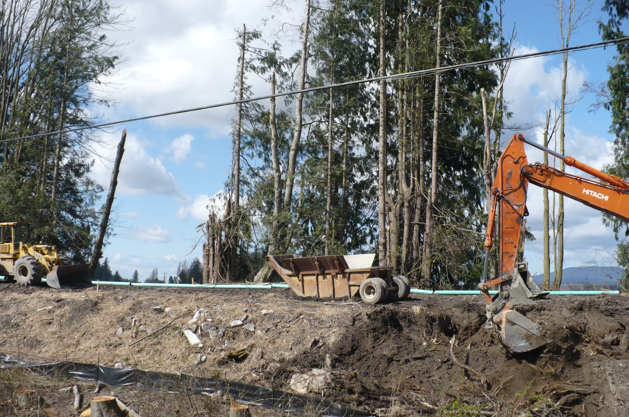
| Summer 2011 Levee Repair Pictures | ||
 |
 |
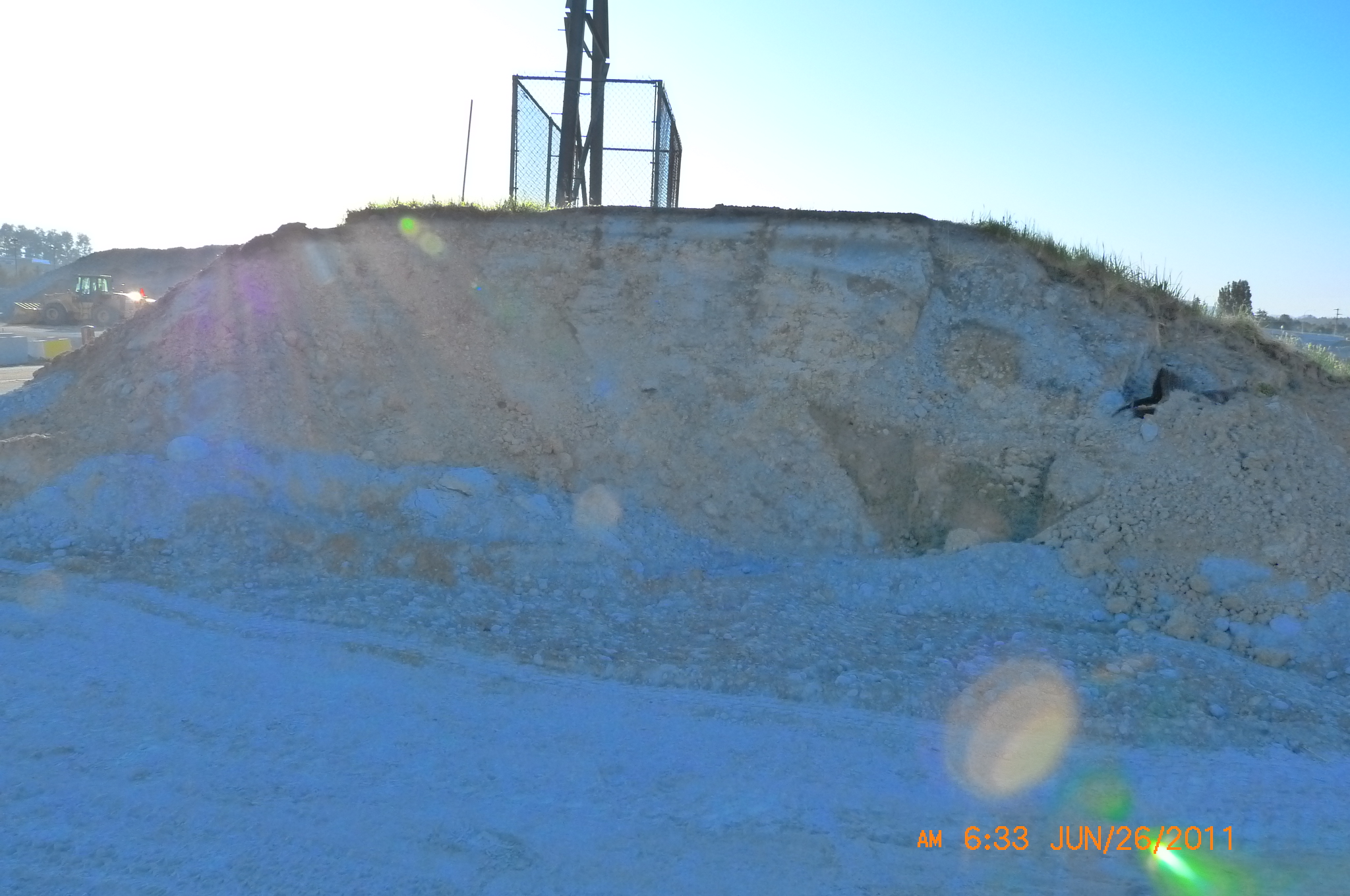 |
| What Is In A Levee 01 | What Is In A Levee 02 | What Is In A Levee 03 |
 |
 |
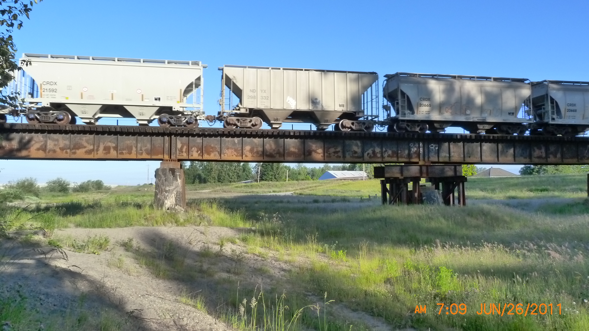 |
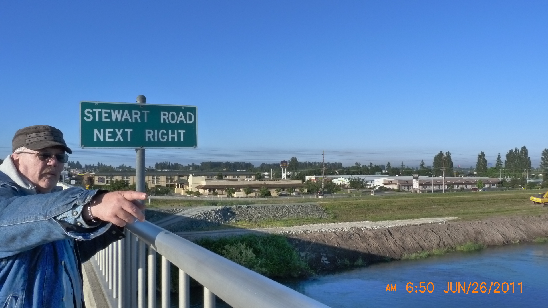
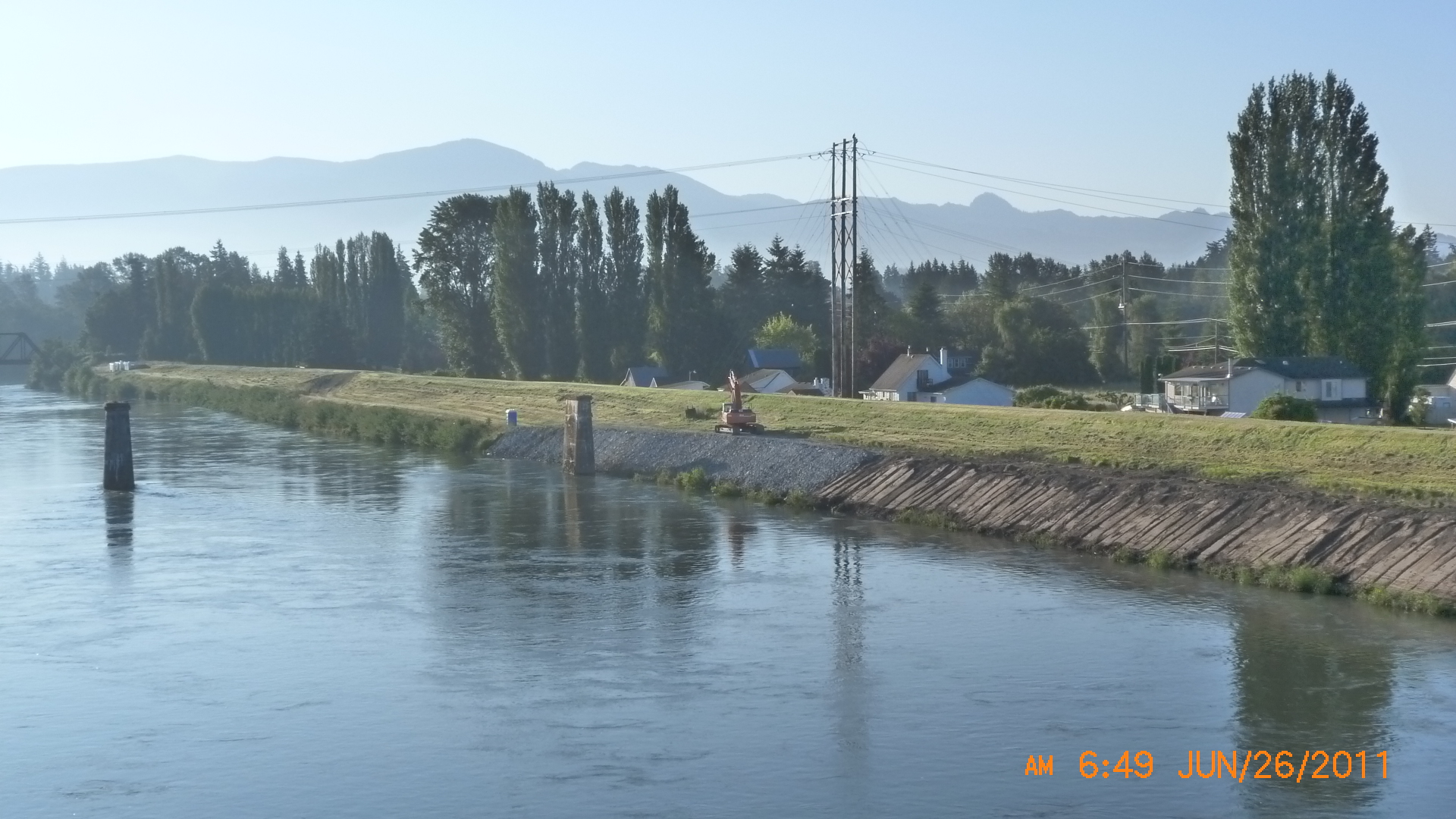
| New material along Dike Dist. 12 | Stewart Road Next Right | Train going
over BNSF Bridge still showing scars from 1995 floods See also: Dike Dist. 12 1995 Flood Pictures, Jan. 2007 Angry Citizen |
 |
 |
 |
| Corps Skagit River Stockpile Yard | Riprap along Dike District 17 | New rock along Dike District 17 |
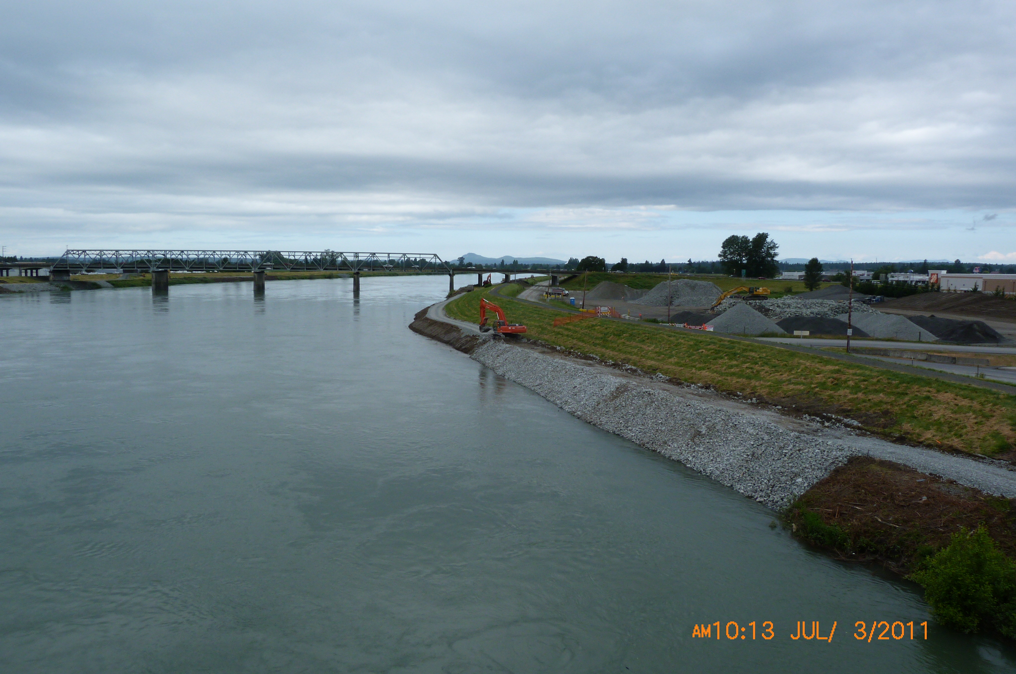
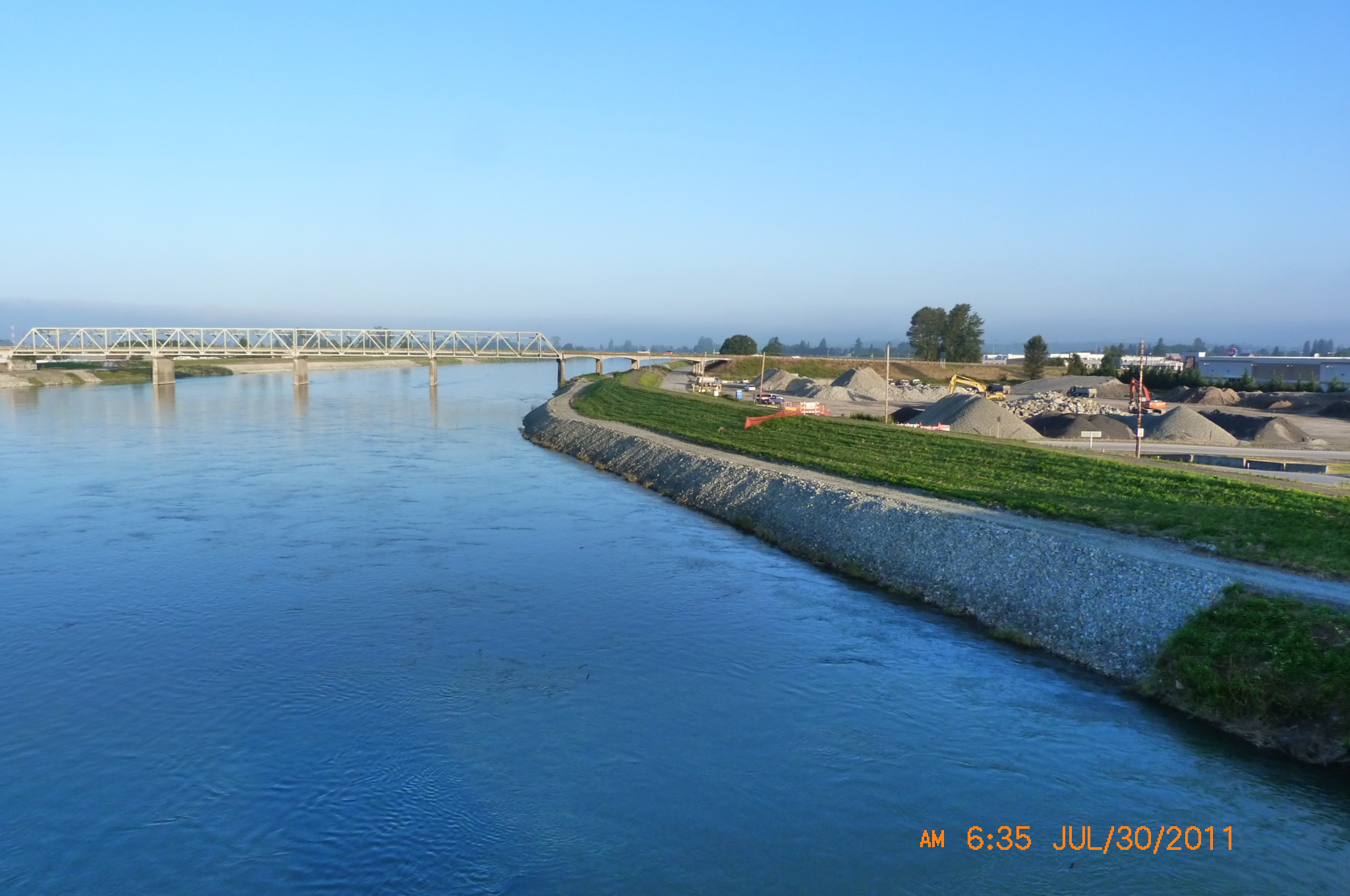
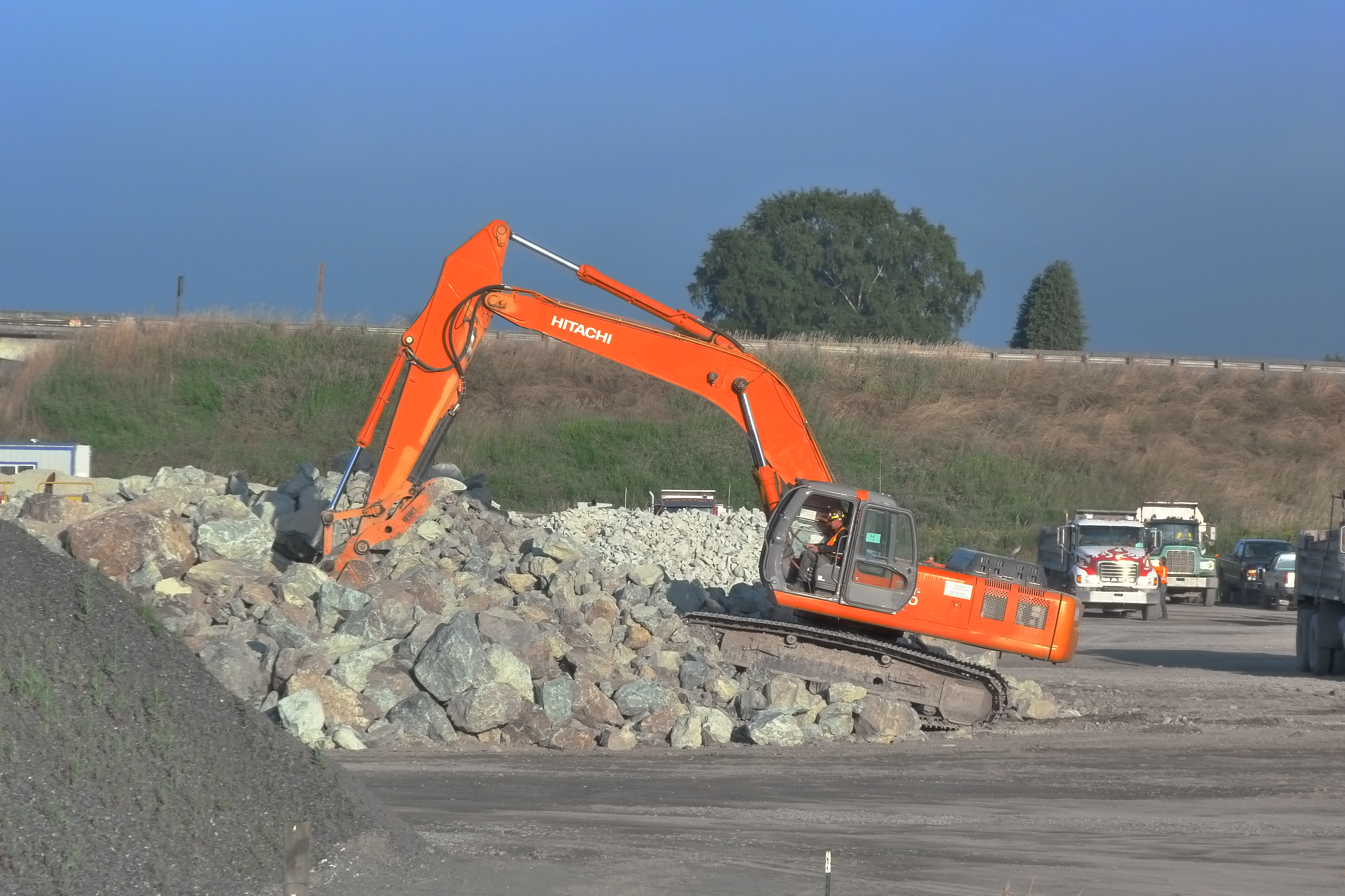
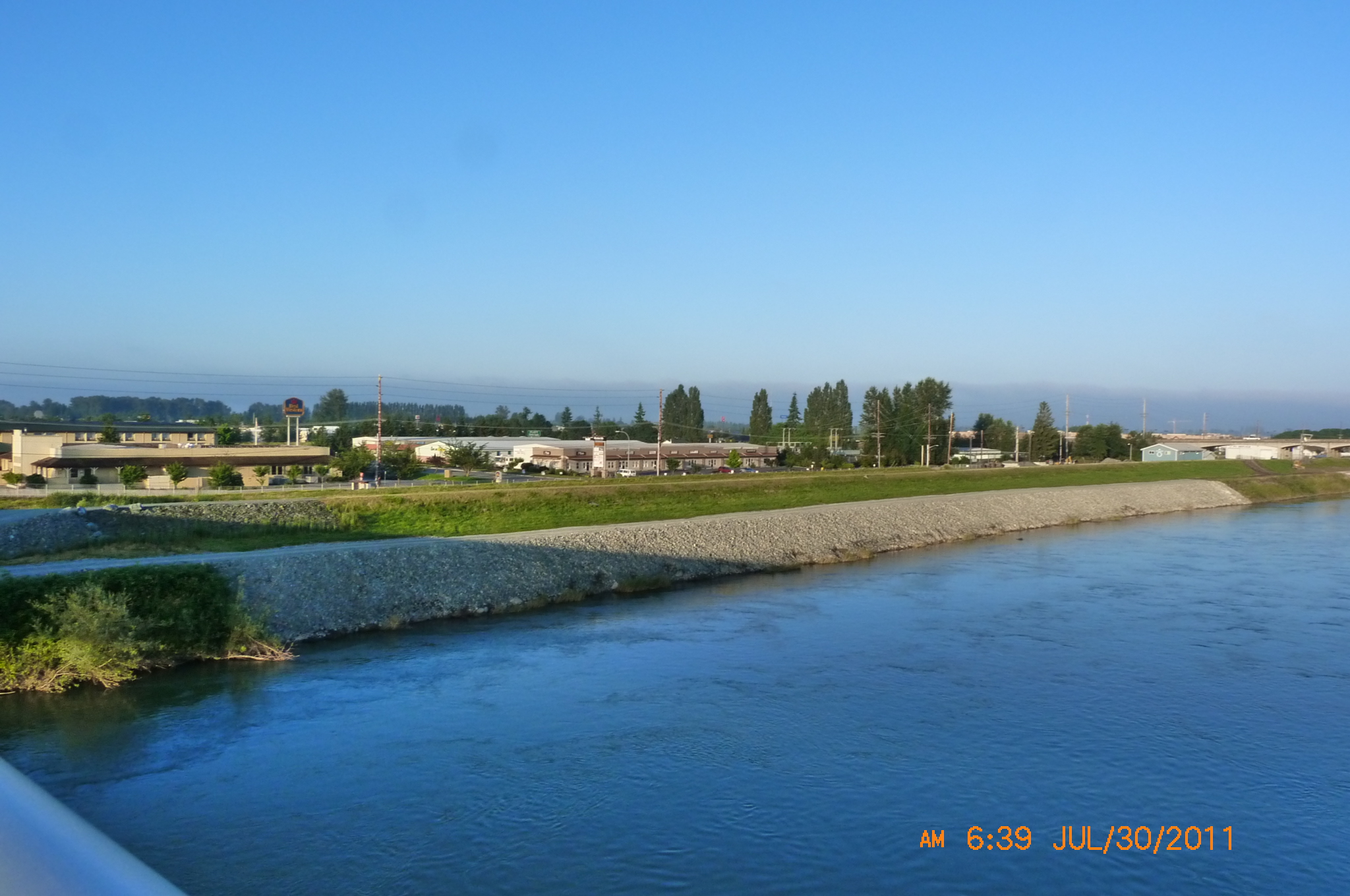
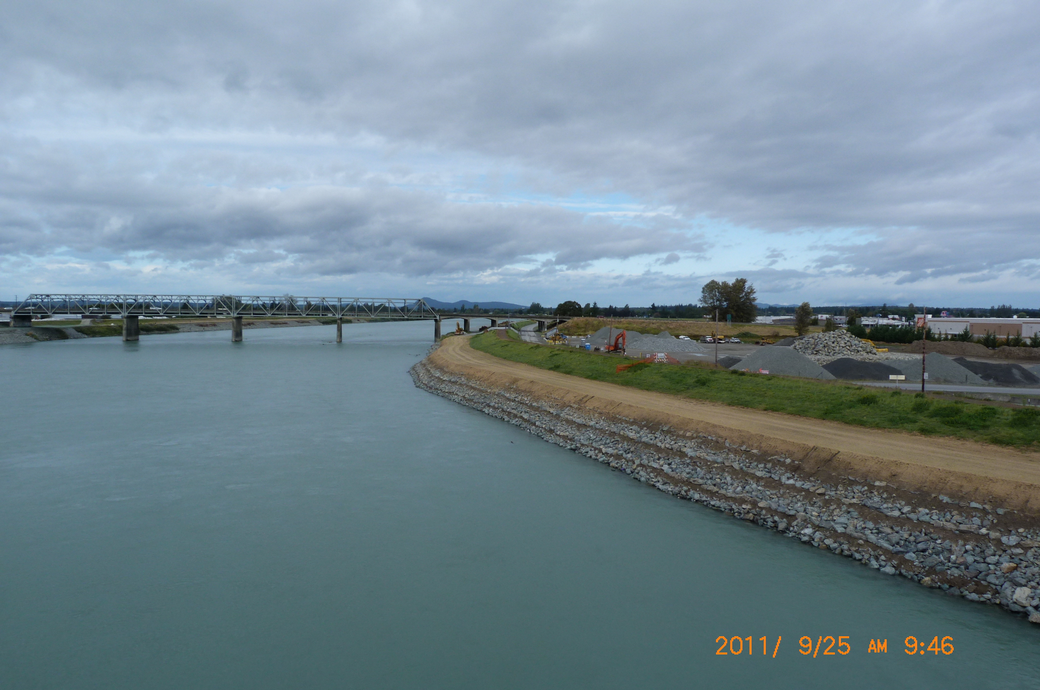
| July 3 Levee Repair Update Pictures | ||
 |
 |
 |
| Placing RipRap along the Skagit | Dike District 12's new material now is getting a riprap cover. | Looking across at Dike Dist. 17's levee improvements - see "Stewart Road Next Right" for what was last week |
| July 30 Levee Repair Update Pictures | ||
 |
 |
 |
| An update on Dike Dist 12's material downstream of Old 99 Hwy Bridge | Placing rock - and note the big riprap - under I-5 Bridge spanning Skagit River | Backhoe going to get bigger riprap |
 |
 |
 |
| Dike District 17's clearly been working right along. See a similar July 3 picture for what was a few weeks ago. | Looking upstream of Old Hwy 99 Bridge at Dike Dist. 12's new material | More rock & riprap along Dike District 17's levee north of Old Hwy 99 Bridge |
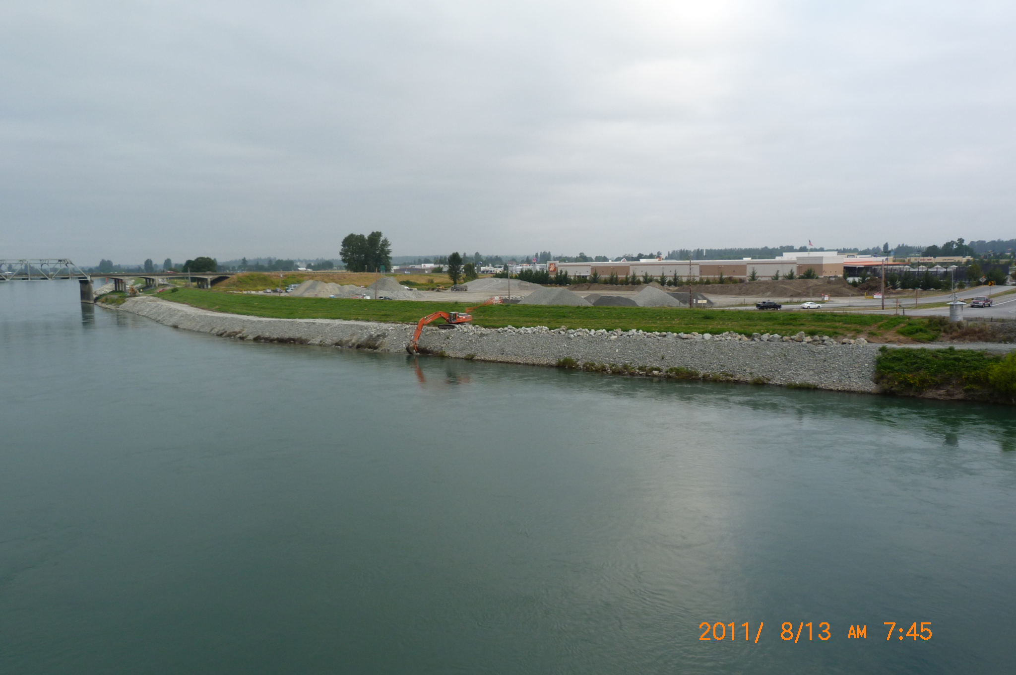
| August 13 Levee Repair Update Pictures | ||
 |
 |
 |
| Seeding top of the riprap | Dike District 17's work downstream of Old Hwy 99 Bridge | Dike District 12 work downstream of I-5 Bridge |
 |
 |
 |
| Placing riprap into the Skagit River | Riprap being placed into the Skagit | Big Rocks Going Into the Skagit River |
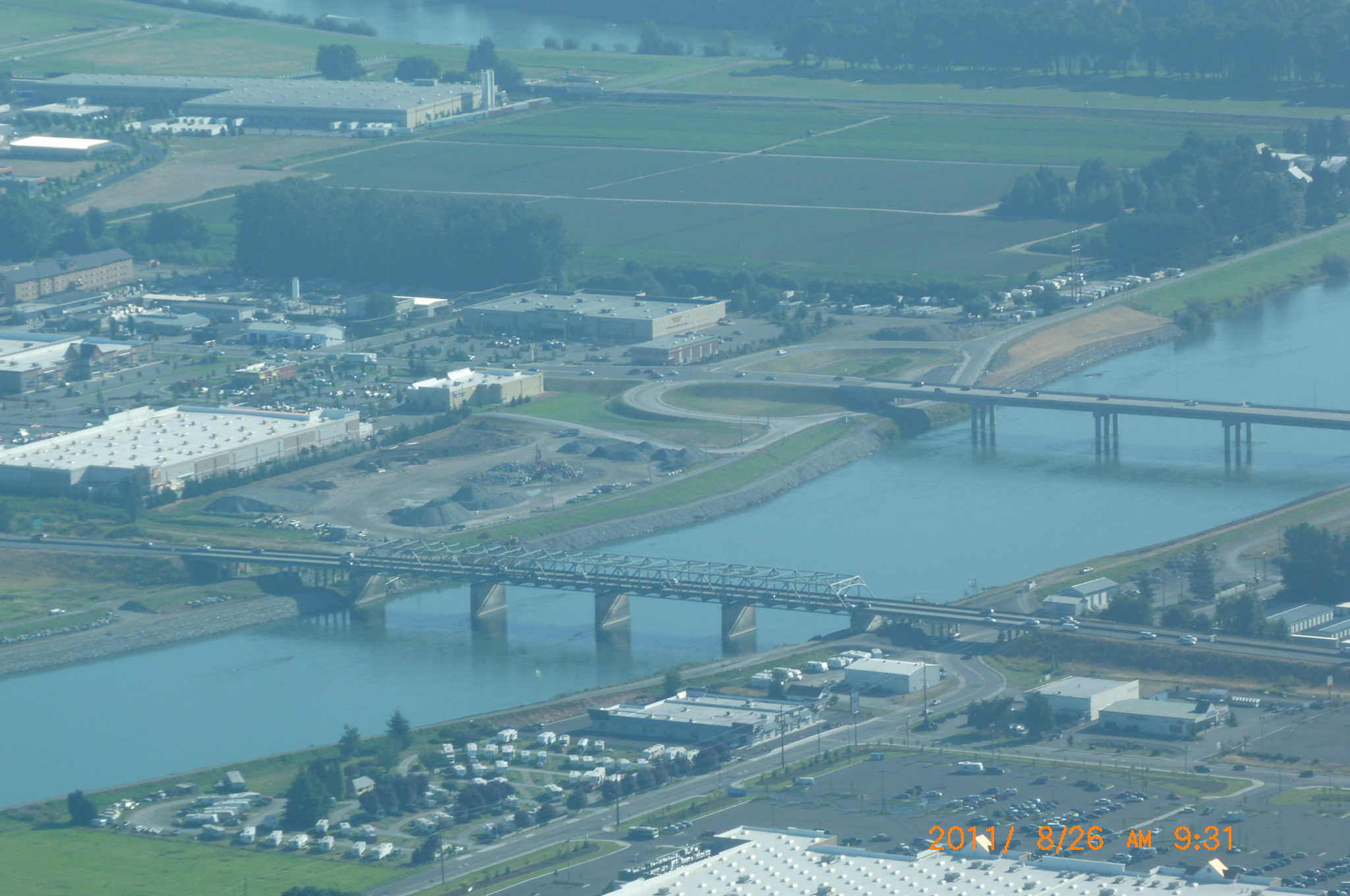
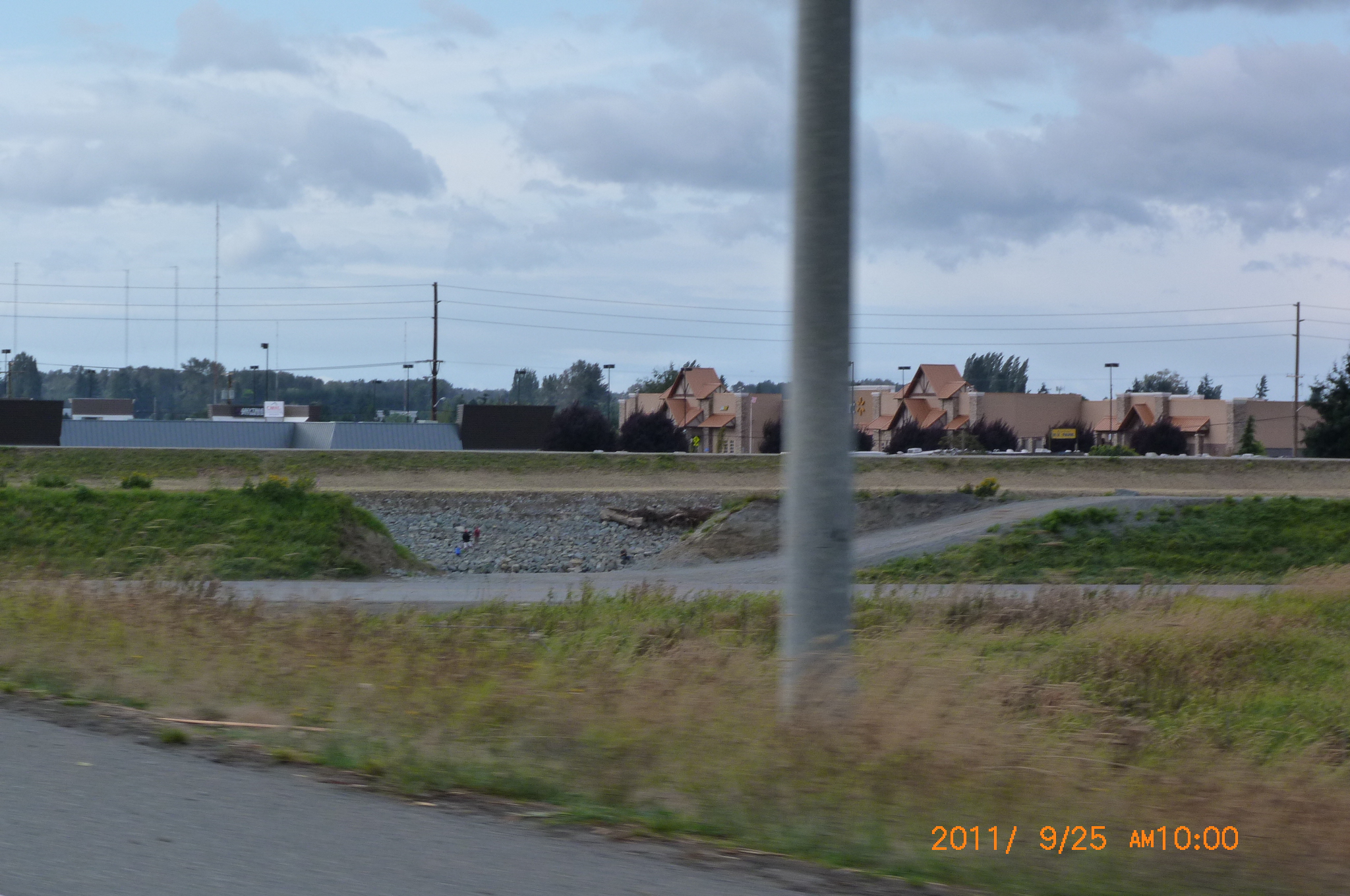
| August 26 Aerial Photos | ||
 |
 |
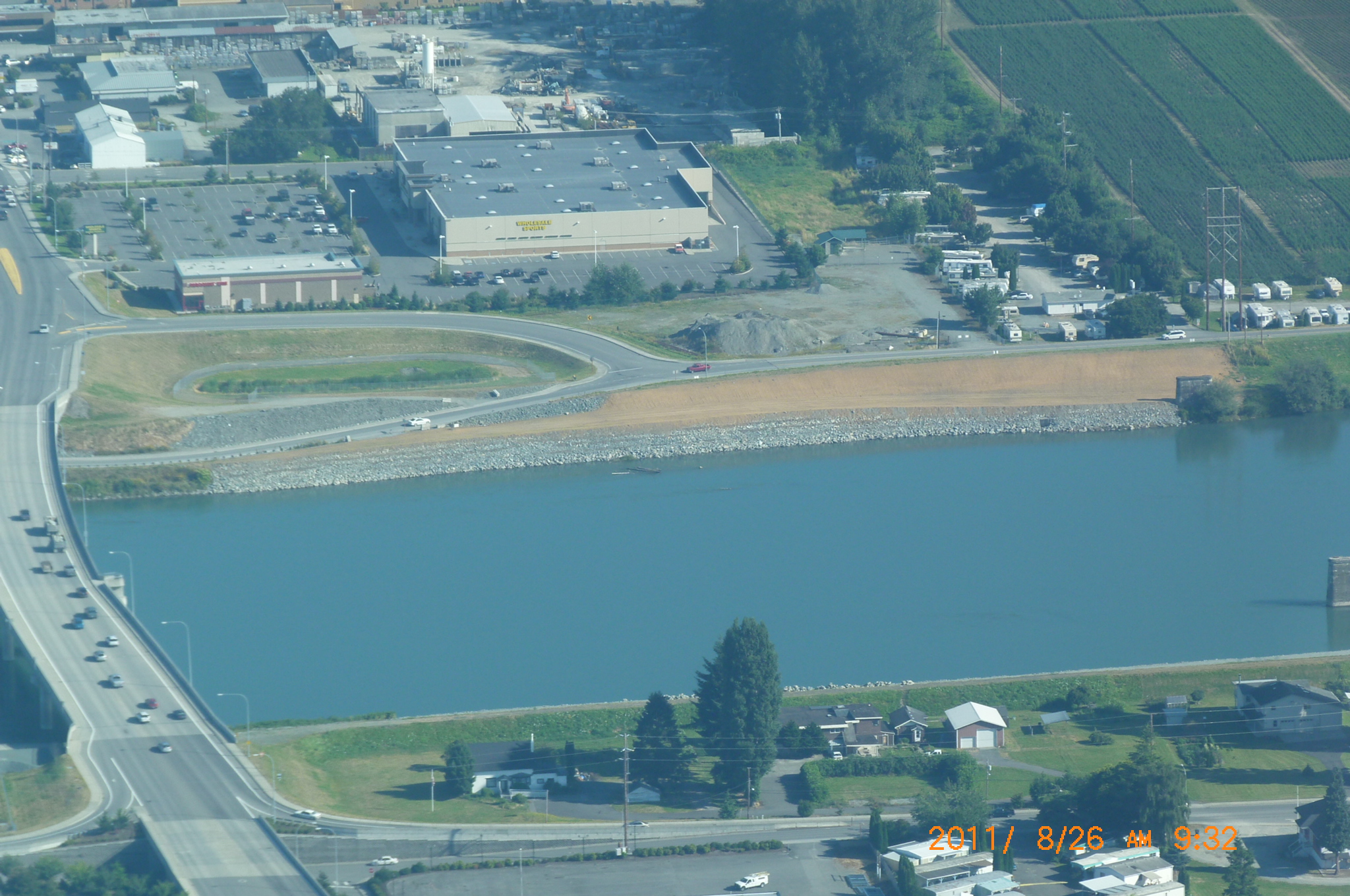 |
| Looking between Hwy 99 Bridge to the north & I-5 Bridge to the South | Big rocks waiting to be placed south of the I-5 Bridge on the Burlington bank. | Aerial photo of Dike District 12 levee work north of Hwy 99 Bridge. |
 |
|
 |
| 11x17" of Burlington looking north | Dike District 12 hard at work | 3 Bridge Corridor & Vicinity. Looking west towards Avon & points beyond. |
| September 26 Levee Repair Update Pictures | ||
 |
 |
 |
| Looking Downstream of Hwy 99 Bridge at Levee Work | Another view of levee work between Hwy 99 Bridge & I-5 Bridge over Skagit River | Looking downstream from the Hwy 99 bridge at DD12's work |
 |
 |
 |
| Look across at girth of DD12 new material between Hwy 99 & I-5 Bridges over Skagit River | Picture of DD17 riprap upstream of Hwy 99 Bridge | Look upstream at DD12-USACE work product on the Burlington bank from I-5 Bridge |
 |
 |
 |
| Straight across the I-5 bridge perpendicular to the DD12 levee - note the logs and widened levee | Notice the hole in the DD12 levee - and the logs to be placed as Large Woody Debris/LWD for fish habitat. | Logs to be placed on top of the riprap as Large Woody Debris/LWD as taken from the I-5 Bridge over the Skagit |
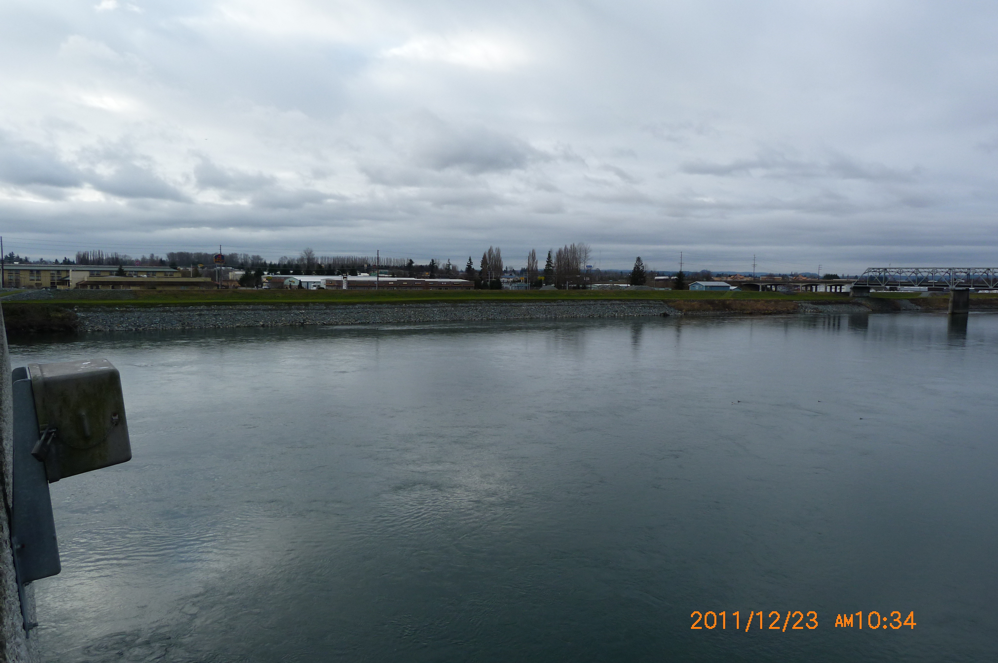
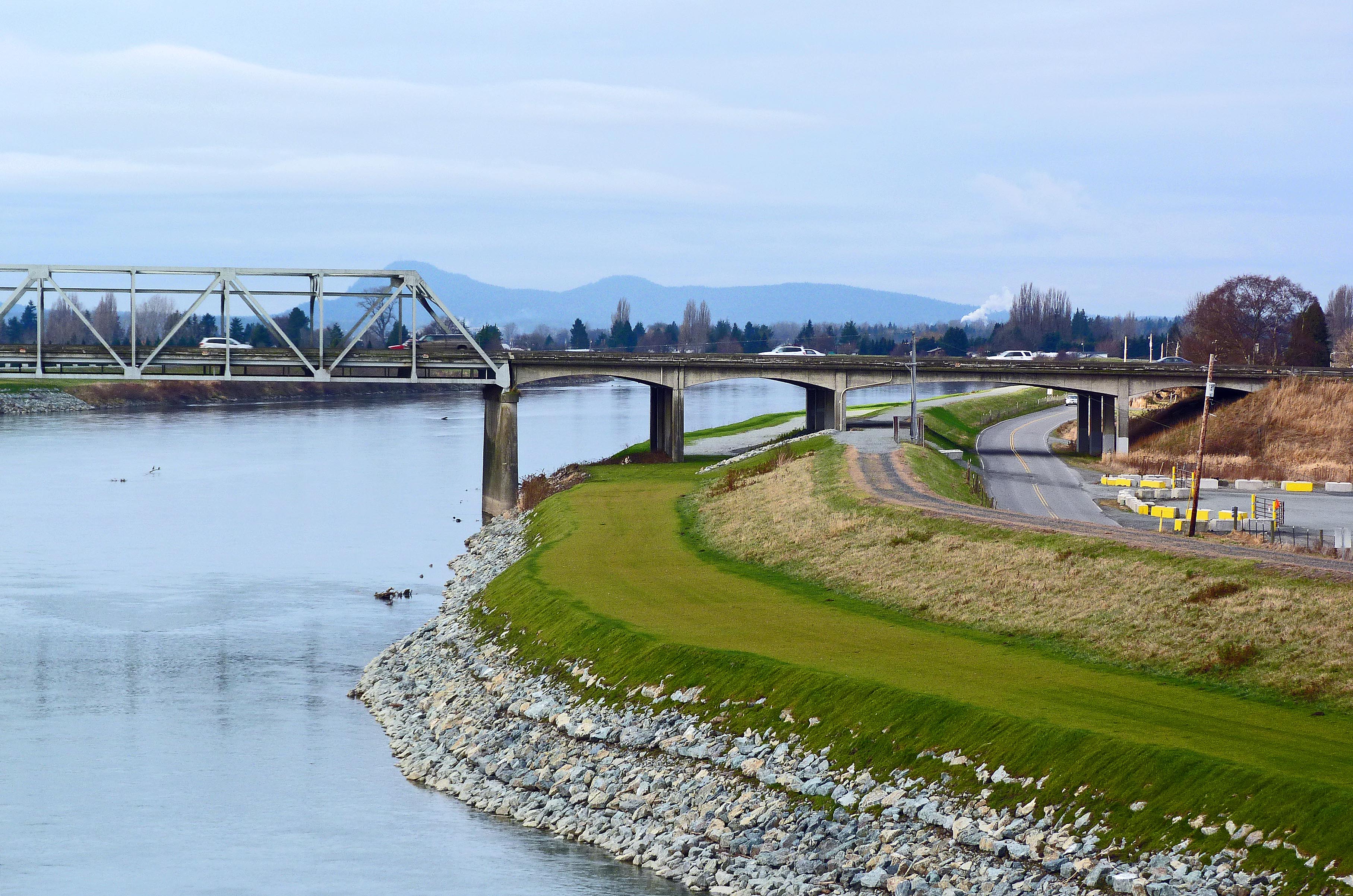
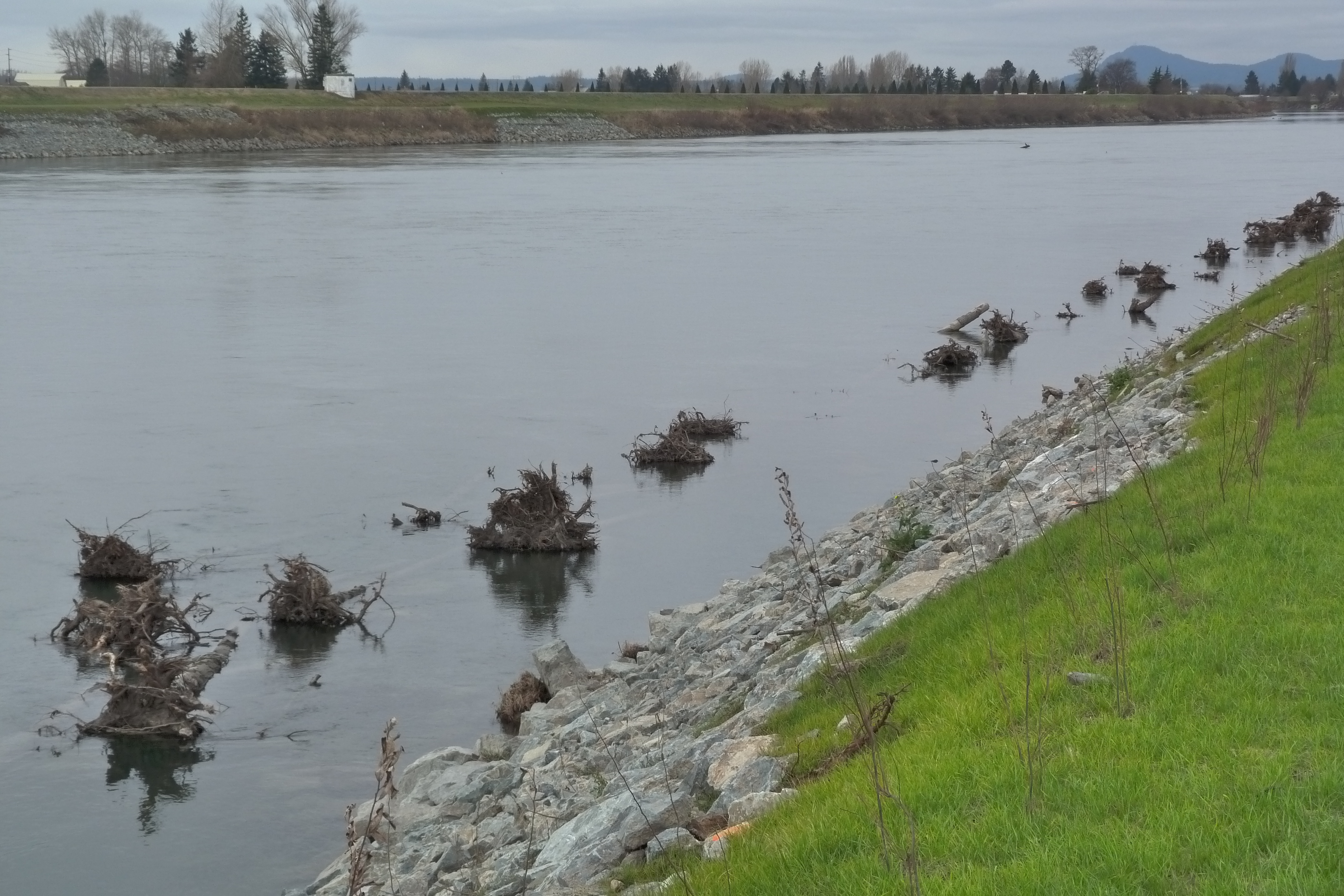
| December 23 Levee Repair Update | ||
 |
 |
 |
| Skagit at DD 17 new riprap | I-5 Bridge Burlington Abutment | Where the hole in the levee was... |
 |
 |
 |
| DD17 Large Woody Debris (LWD) | DD12 Large Woody Debris (LWD) below the waterline | DD12 Large Woody Debris (LWD) intentionally placed in the Skagit River |
 | ||
| Dike District 12 gully raises serious questions about drainage... | ||
| Assorted Miscellaneous Pictures | ||
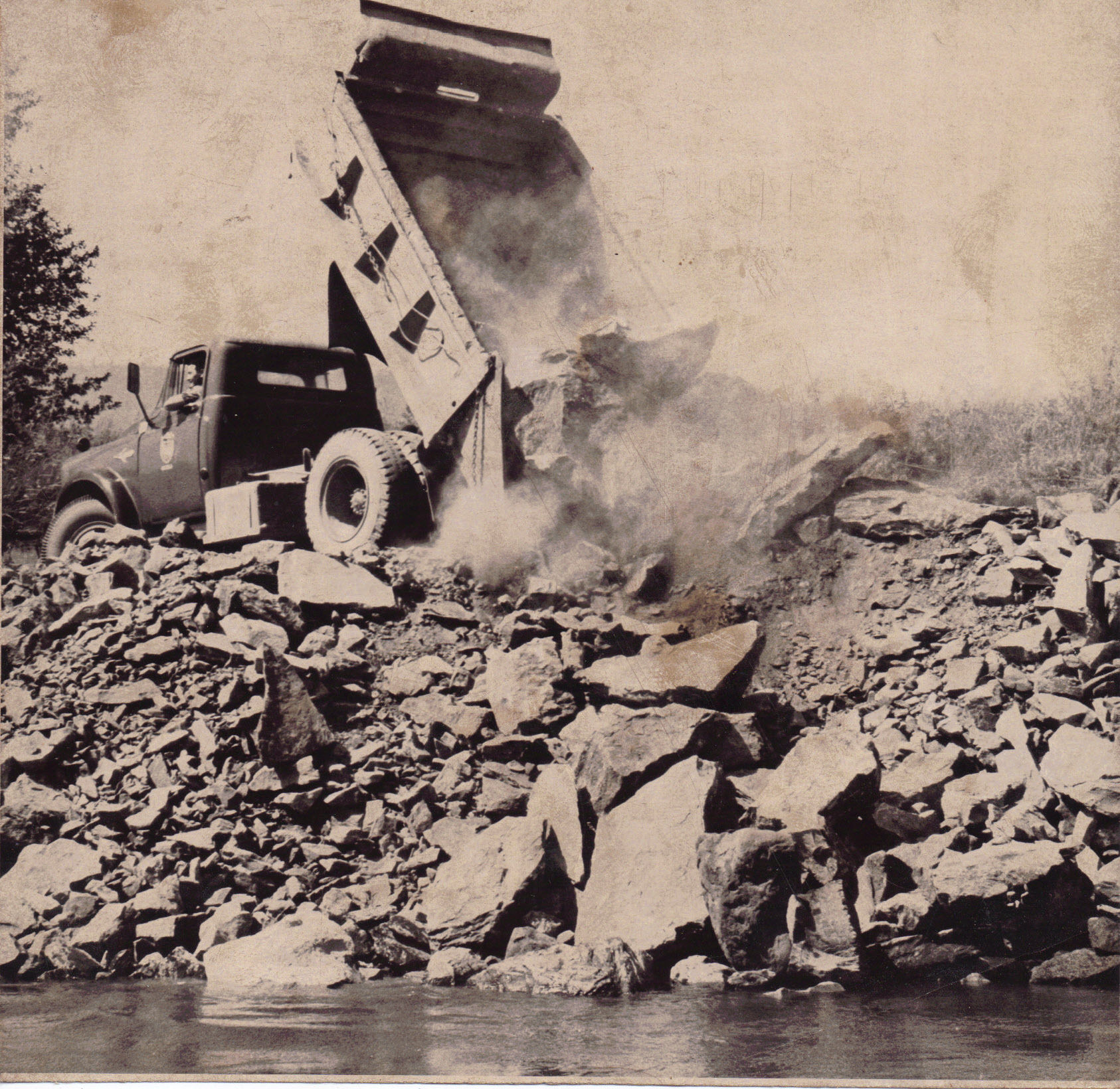 |
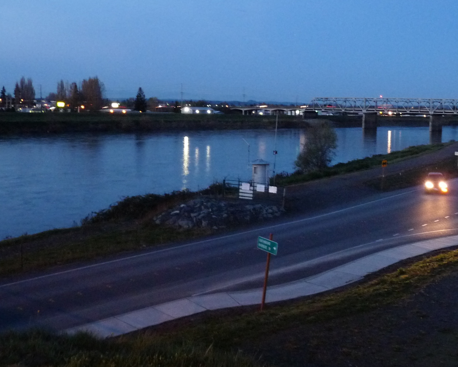 |  |
| Sept. 1963 Skagit Valley Herald pic: Skagit County Public Works Dump Truck putting riprap into Skagit River | Mount Vernon gauge on Skagit River, Picture by Webmaster |
Ross Dam, 6 December 1975 Photograph courtesy Seattle Municipal Archives |
 |
 |
 |
|
Gorge (Crib) Dam, April 18, 1947 Photograph courtesy Seattle Municipal Archives |
Gorge (Crib) Dam, April 18, 1947 Photograph courtesy Seattle Municipal Archives |
Gorge (High) Dam, December 22, 2005 |
 |
 |
 |
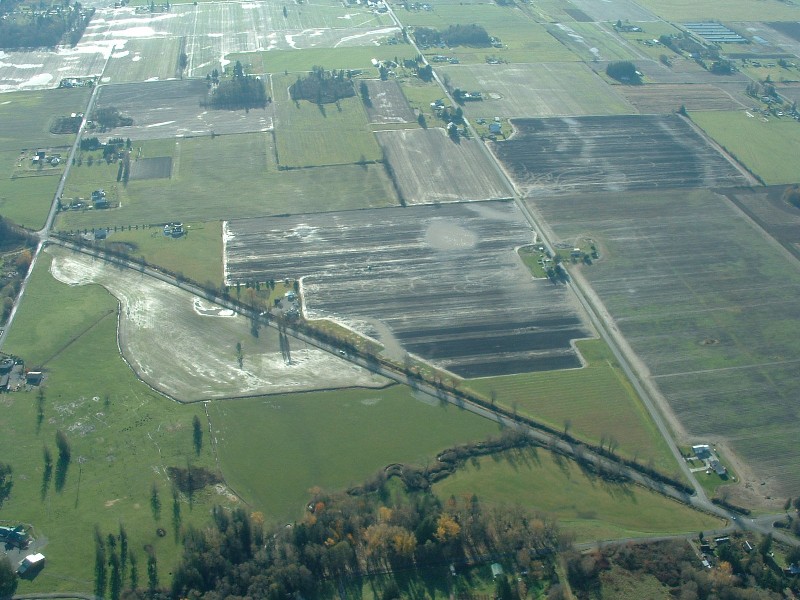
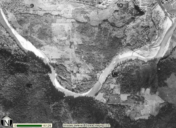
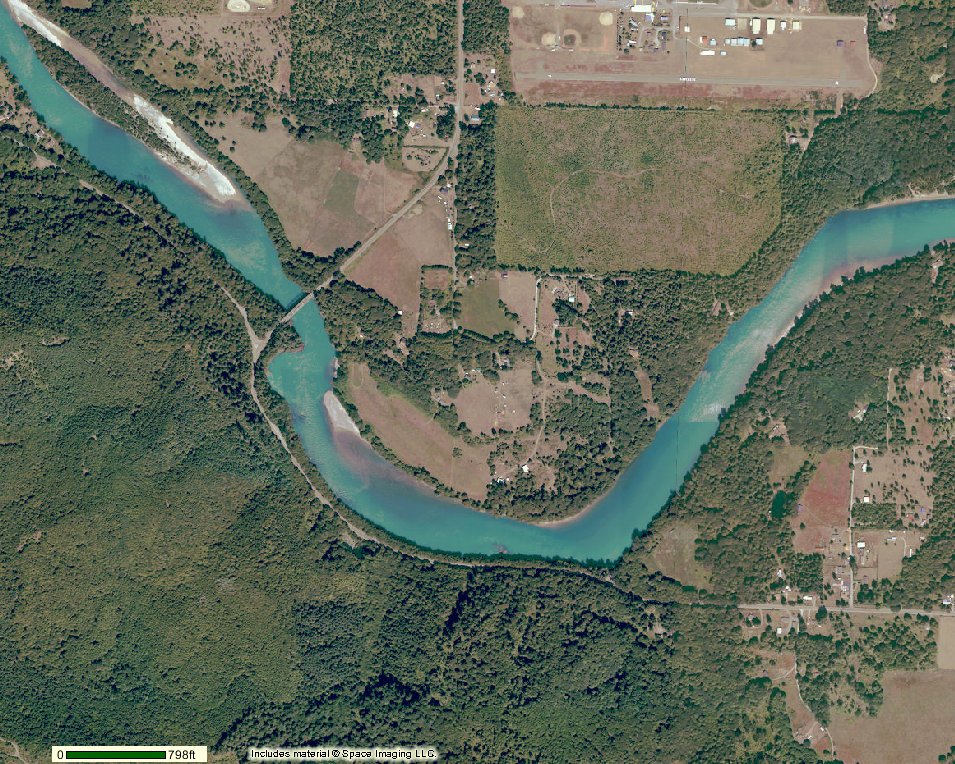
| Skagit County Government iMap Aerial Photograph of the Dalles, 1937 | Skagit County Government iMap Aerial Photograph of the Dalles, 2001 |
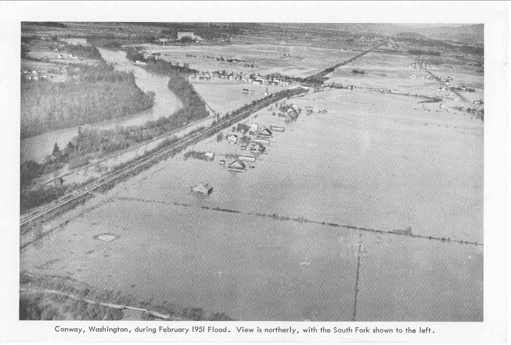
February 1951 flood photo of Conway, South Fork of Skagit to the
left. Photo courtesy Skagit County Public Works |
 |
 |
 |
|
Ross Dam; March 25, 2006 Ross Lake elevation at time of picture: 1,501 feet |
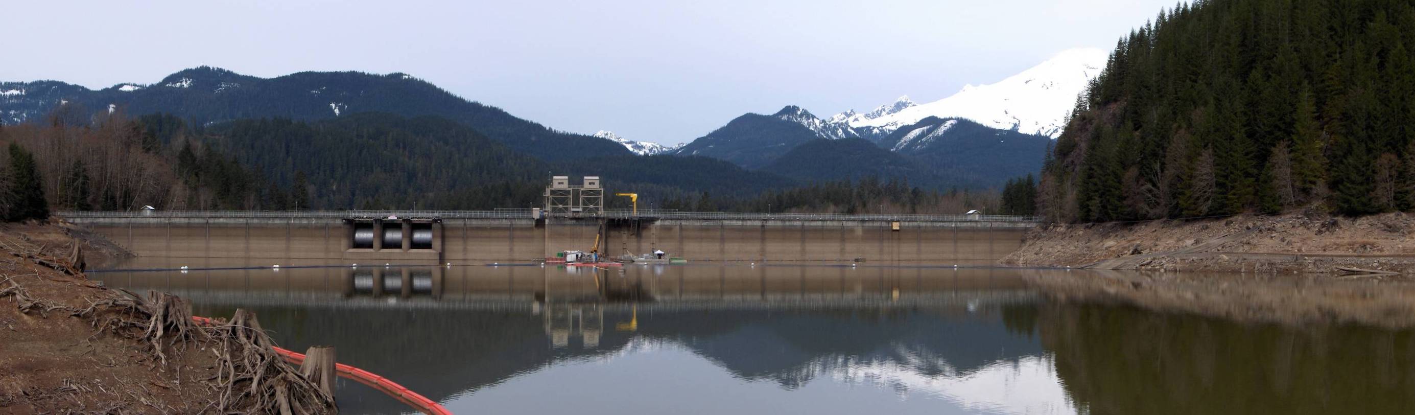
Upper Baker Dam; April 7, 2006 Baker Lake elevation at time of picture: 685 feet, NAVD 88* |
Lower Baker Dam; April 7, 2006 Lake Shannon elevation at time of picture: 384.29 feet, NAVD 88* |
 |
 |
 |
| Lower Baker Dam and Powerhouse on 7 April 2005 personal visit | June 21, 2011 Pic of Lower Baker Dam by Friends of Skagit County | July 4, 2011 Pic of Lower Baker Dam by David Varney of Brisbane, Australia |
 |
 |
 |
|
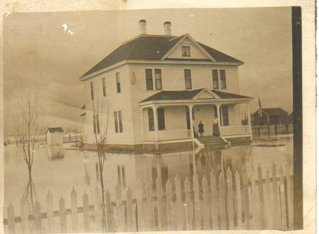
Andrew John Johnson Farm 17322 Beavermarsh Road Nov 1909 Flood. Courtesy of Granddaughter Mary Alice Basye. Farmhouse has never had water in it. |
BNSF Bridge Photograph WSDOT |
2002 Avon Bypass Proposal |
 |
 |
 |
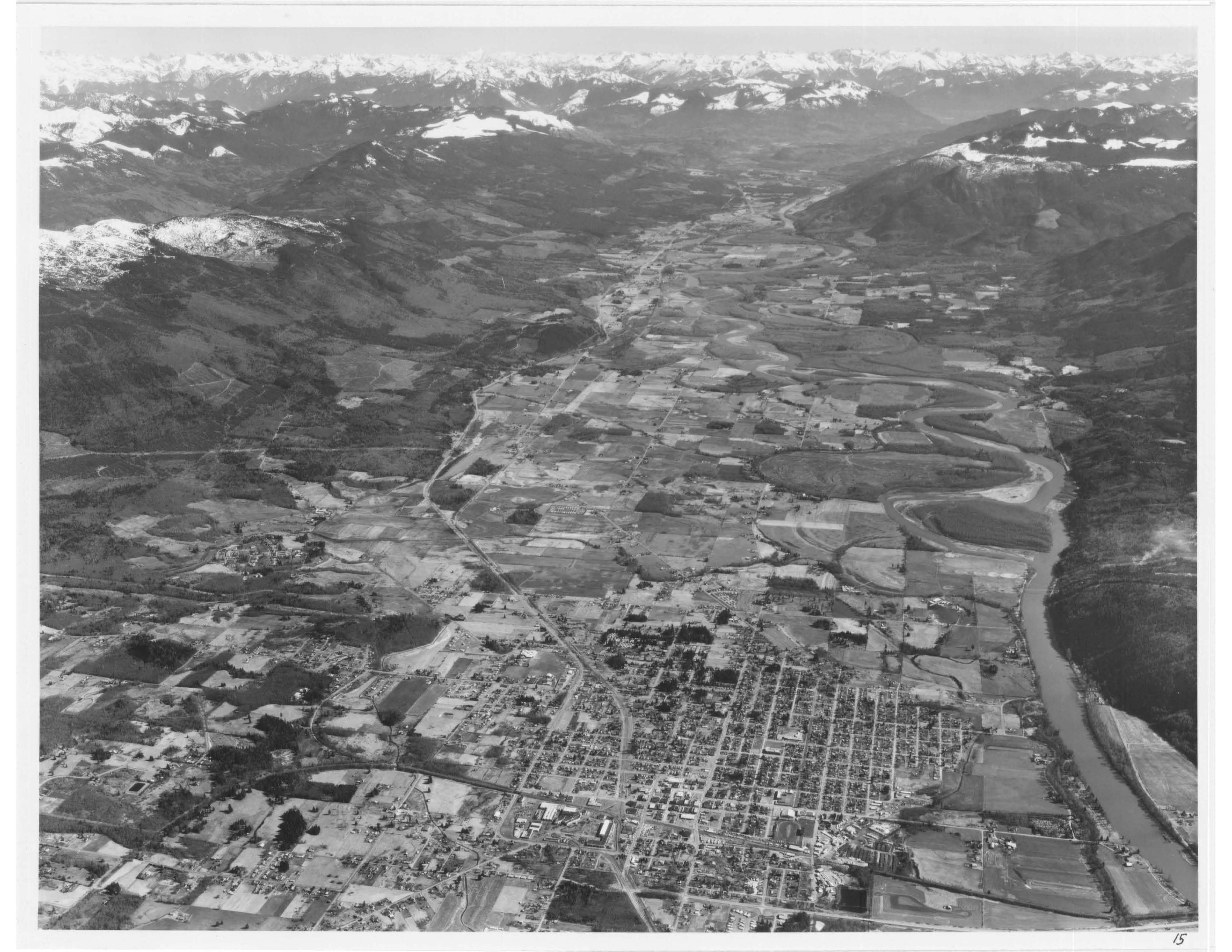
| Sedro-Woolley Looking East (1979) |
PSE Digging A Hole In Lake Shannon Before Impending Flood Nov. 5, 2006 - Around 9 AM |
|
 |
 |
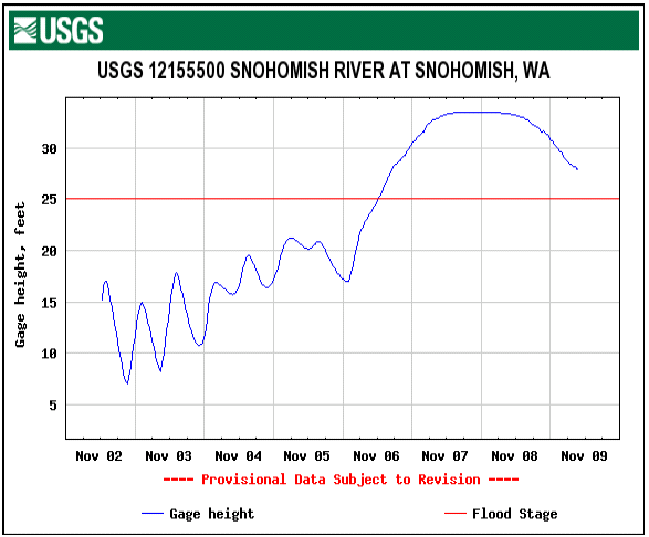 |
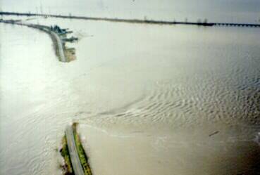
| Snohomish River 1995 levee break at Marshland - no overtopping levee. | Snohomish River 2006 flood at Marshland- according to The Everett Herald, overtopping levees did not fail. | USGS Hydrograph showing that overtopping levees can serve as a cap on river elevations as was the case in 2006 on the Snohomish River. |
 |
 |
 |
| 1932 aerial photo depicting old location of Sedro-Woolley bridge upstream of Great Northern Railroad Bridge. Also shows location of old sloughs. | Sterling Dam, which failed in the 1909 and 1917 floods. Constructed to keep floodwaters from filling up Gages Slough. |
"Progress" Work on the Sterling Dam during March 24, 2008 for the purpose of replacing sewer lines alongside State Hwy. 20 |
 |
 |
 |
|
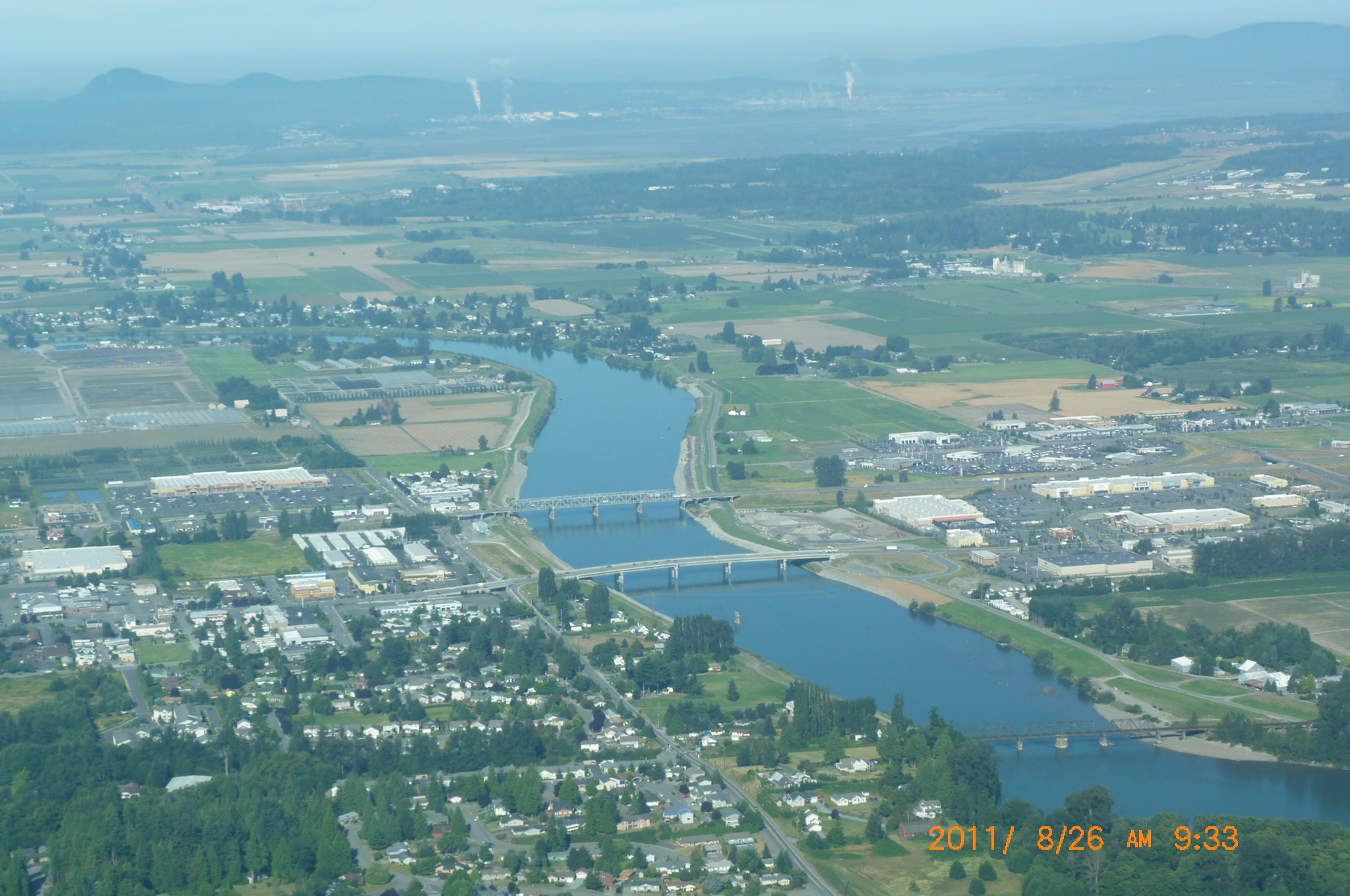
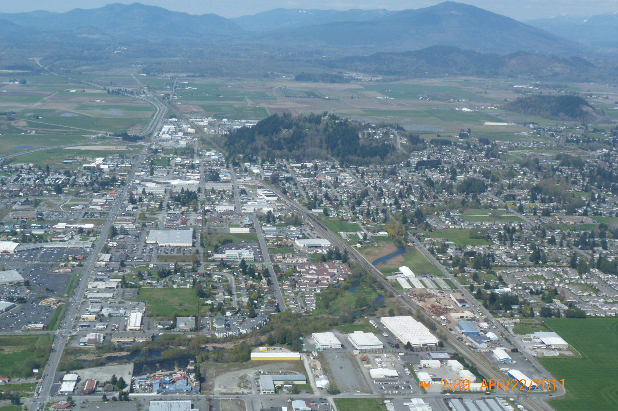
April 2011
Aerial Photo of Burlington Looking North, Picture by Webmaster |
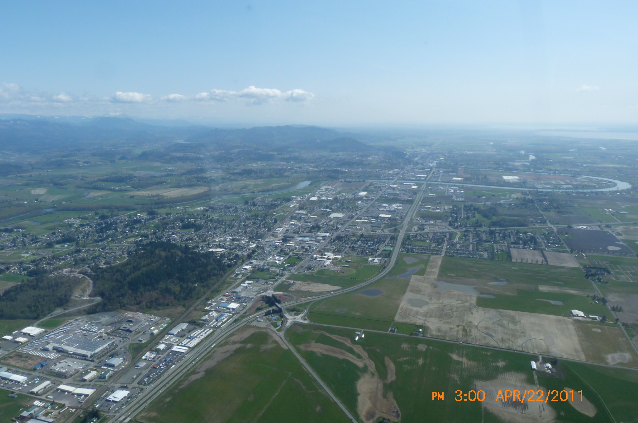
April 2011 Aerial
Photo of Burlington, Looking South Picture by Webmaster |
April 2011 Aerial Photo of Padilla Bay, Picture by Webmaster |
|
*NAVD 88 is a particular datum used
in calculating elevations. On October 1st, 2004 - the federal
government and Puget Sound Energy (PSE) went to that datum for
measuring elevations on the Baker River reservoirs. The old datum
for elevations was NGVD 29. For the story behind these pictures - please go HERE and search our document & historical newspaper archives. | ||
| By Skagit County Government | ||
|
|
 |
 |
|
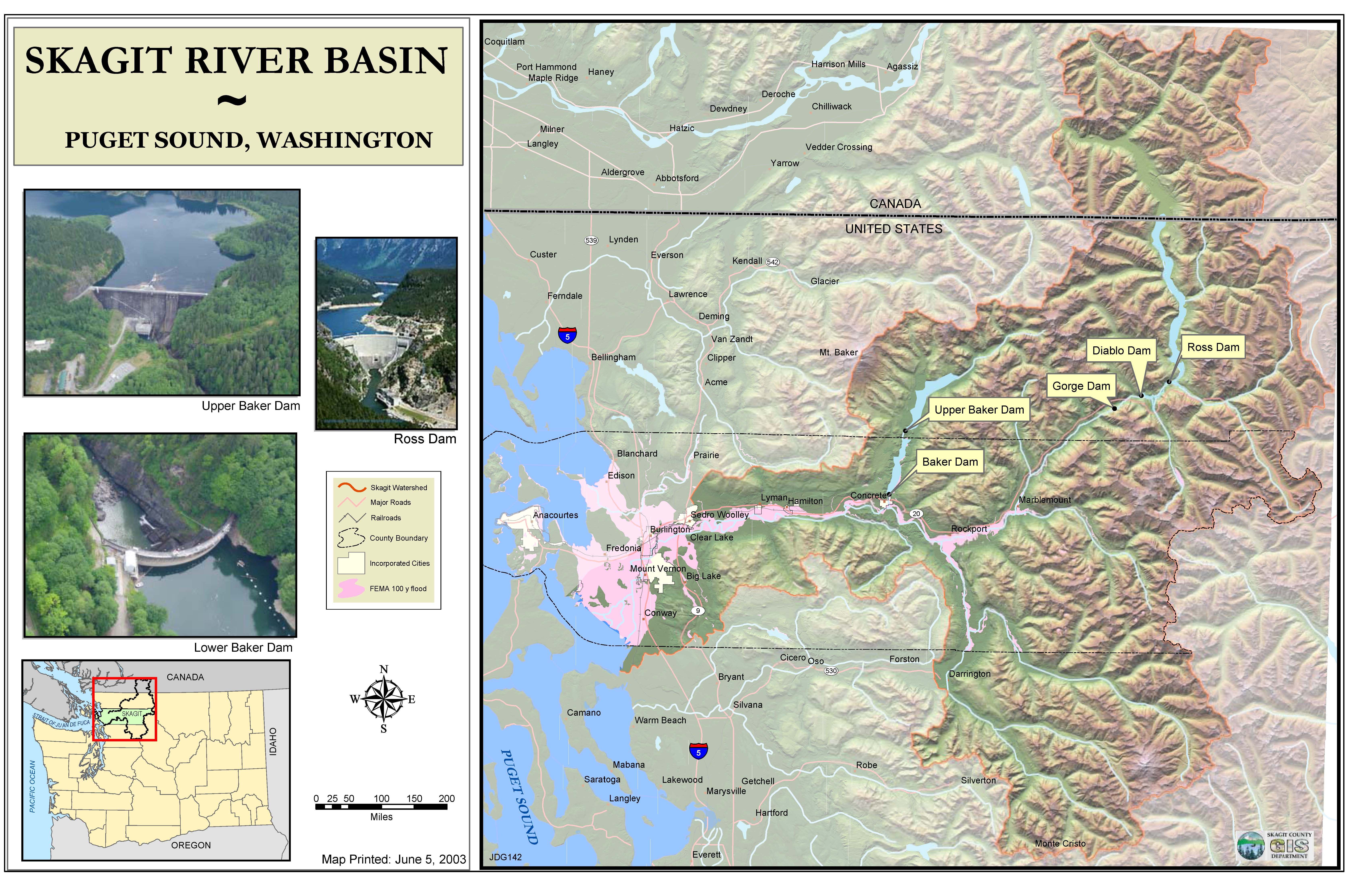
Skagit River Basin Overview Map |
History of Dike & Levee Failures in the Skagit River Basin | Skagit County Diking Districts |
| Corps of Engineers Modern Maps | ||
 |
 |
 |
| Skagit River Basin Map | Lower Basin 100-year Floodplain in Blue and Bordered in Red |
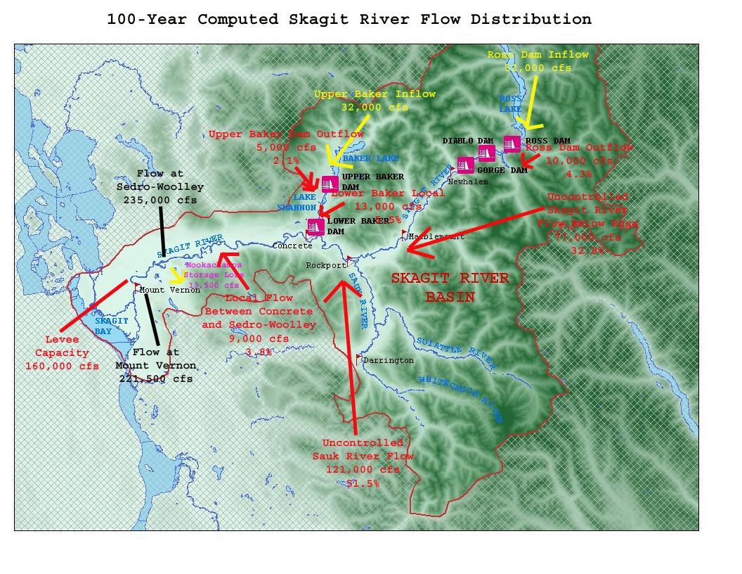
Tributary Flow Contributions to the 100-year Flood (In red, yellow signifies flows entering dams that Corps control during flood events) |
| Historic Maps | ||
 |
 |
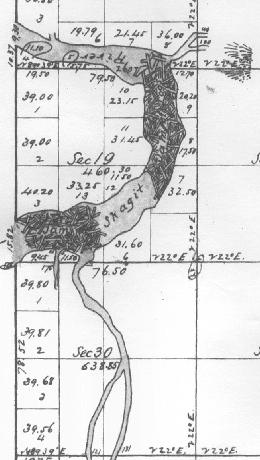 |
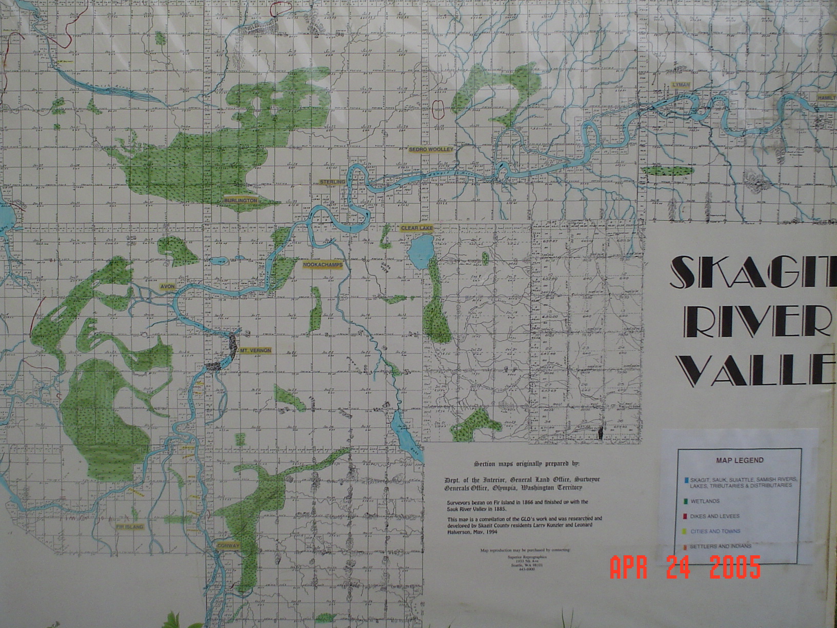
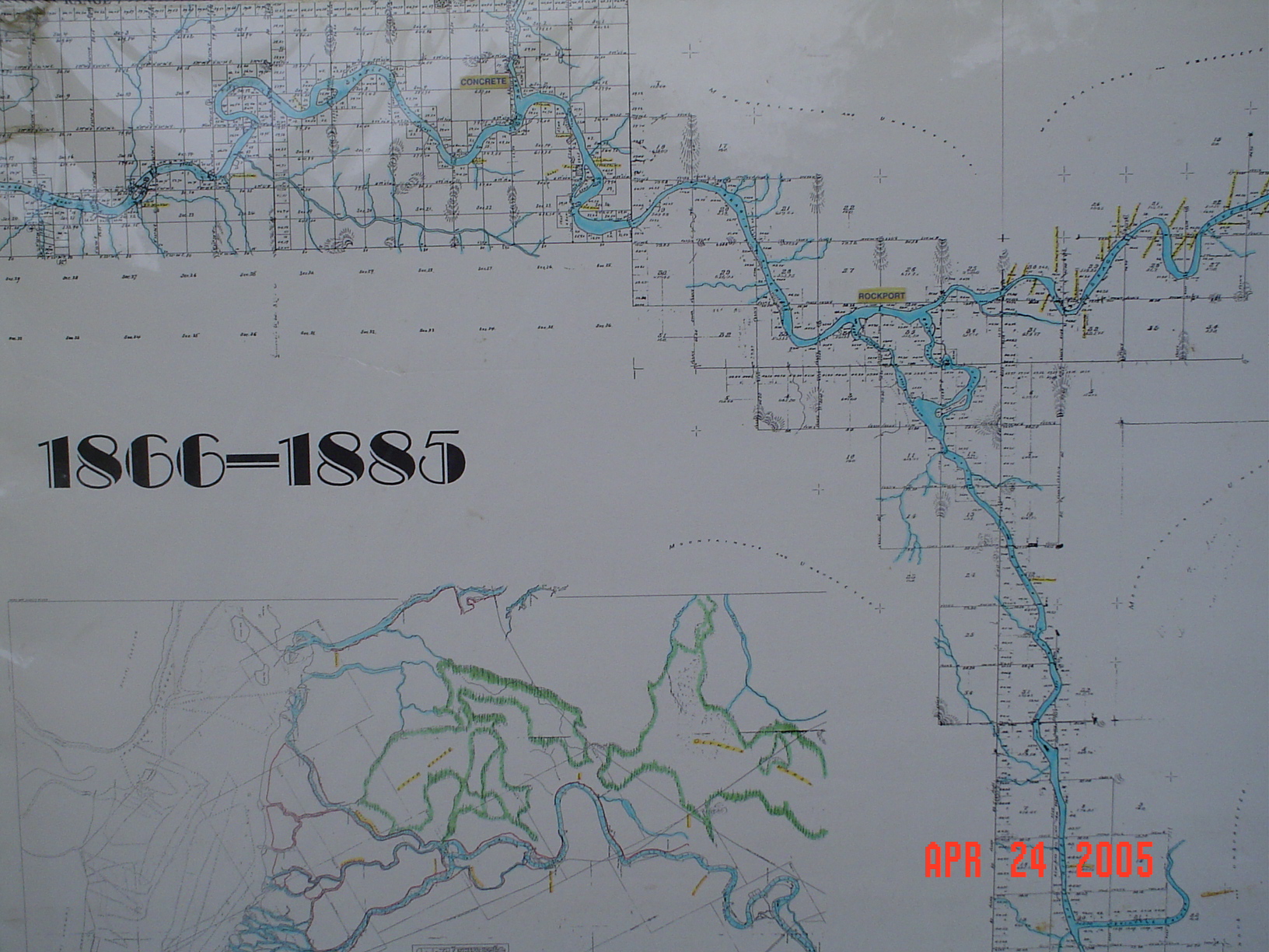
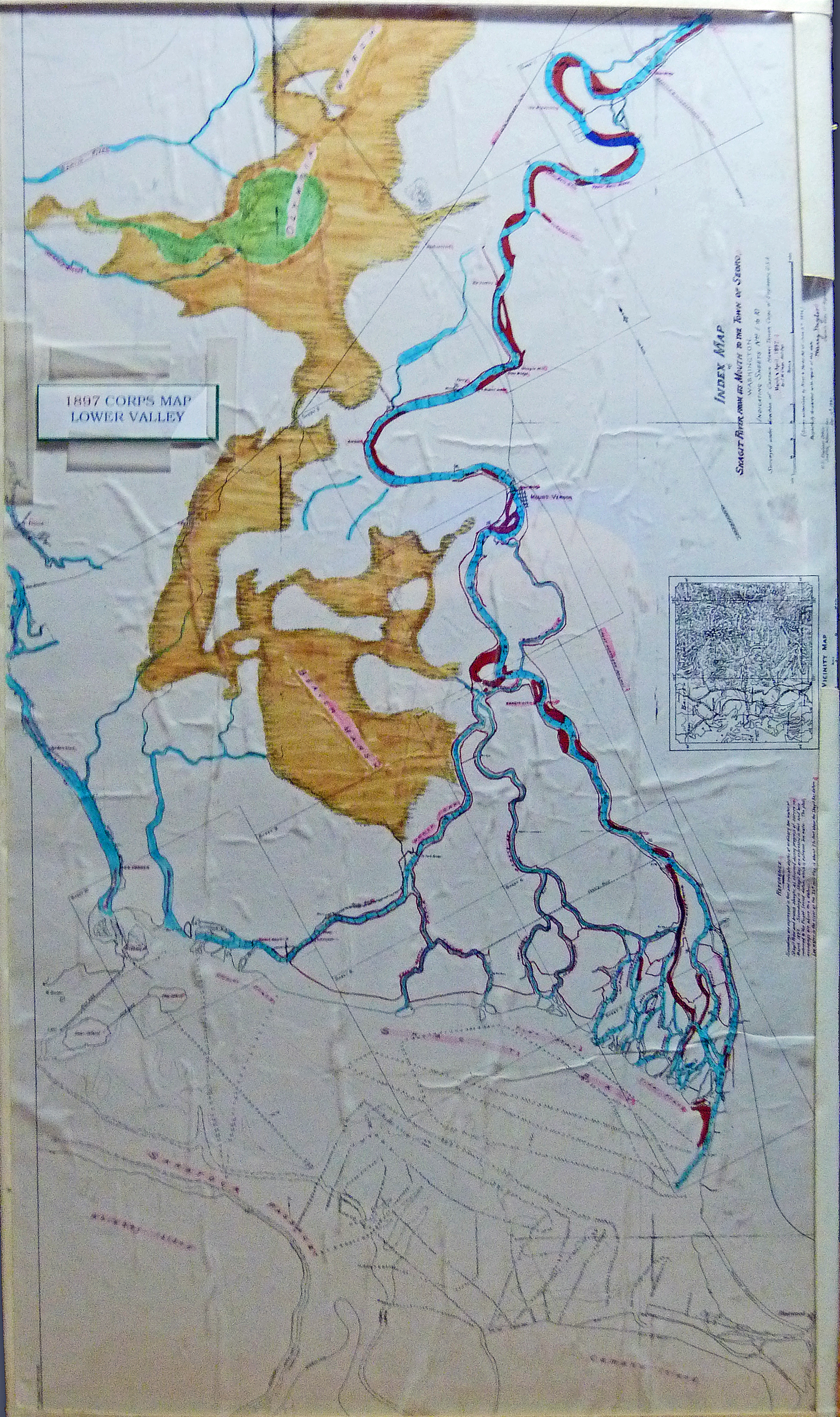
| Original 1866 Lower Valley Map | Original 1866 Upper Valley Map + 1897 COE Map | Log Jams on the Skagit from mid-19th century map |
 |
 |
 |
|
1897 Corps of Engineers Map Map showing depths of the river and location of Beaver Marsh & Olympic Marsh wetlands. |
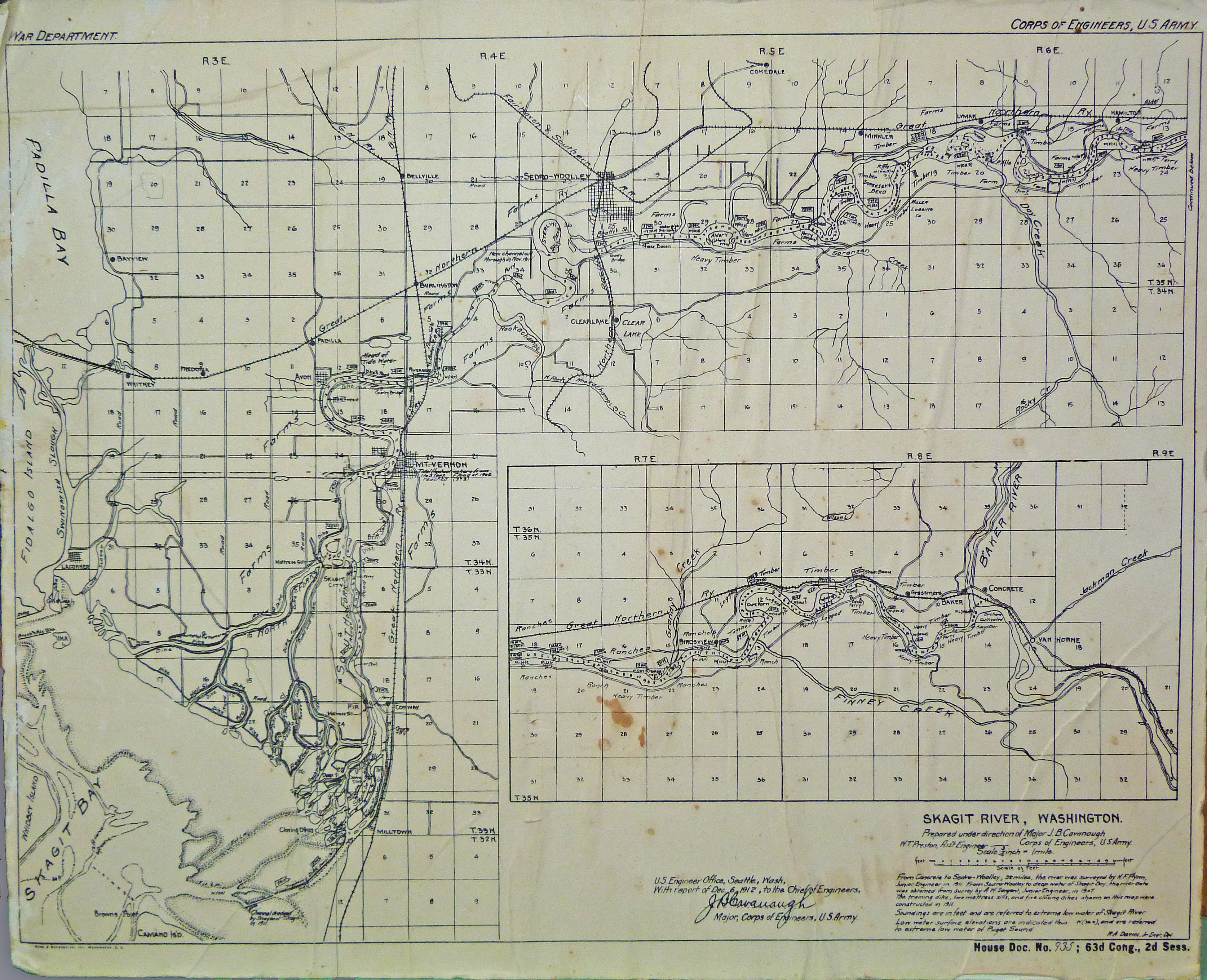
1912 Corps of Engineers
Sounding Map Also shows flood level of 1906 flood at downtown Mt. Vernon of 37.3. This is because it was based on low low water instead of sea level. |
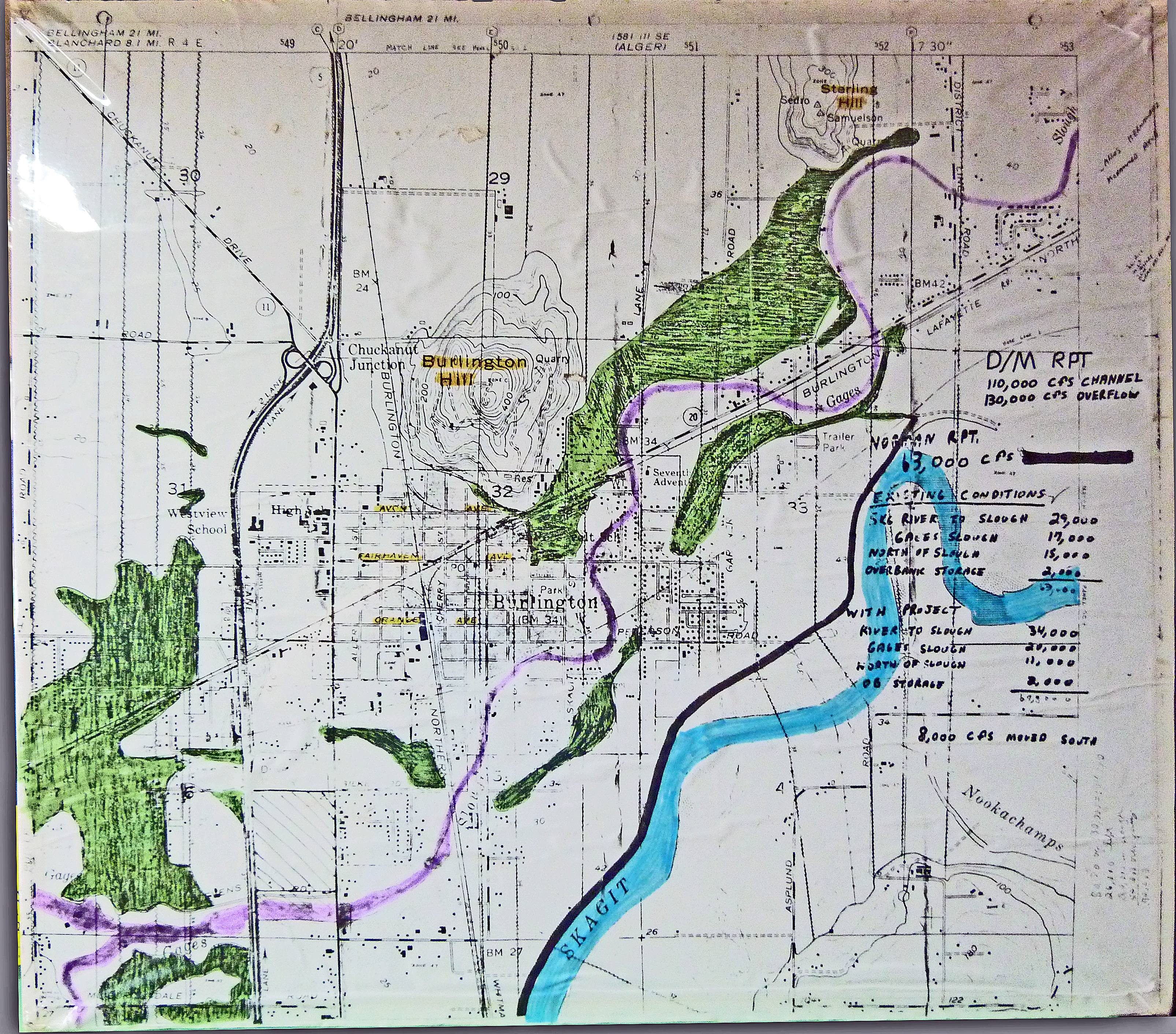
1982 Dames & Moore Map The green areas are Zone B’s, the purple area is Gages Slough (when in reality Gages Slough is high ground to high ground and the old river channel of the Skagit River 1,500 years ago). The handwriting on the map are figures that came from the much discredited Summary Report for DEIS - Hydraulic Investigations: Cascade Mall at Burlington of 7/12/1982. |
 |
||
|
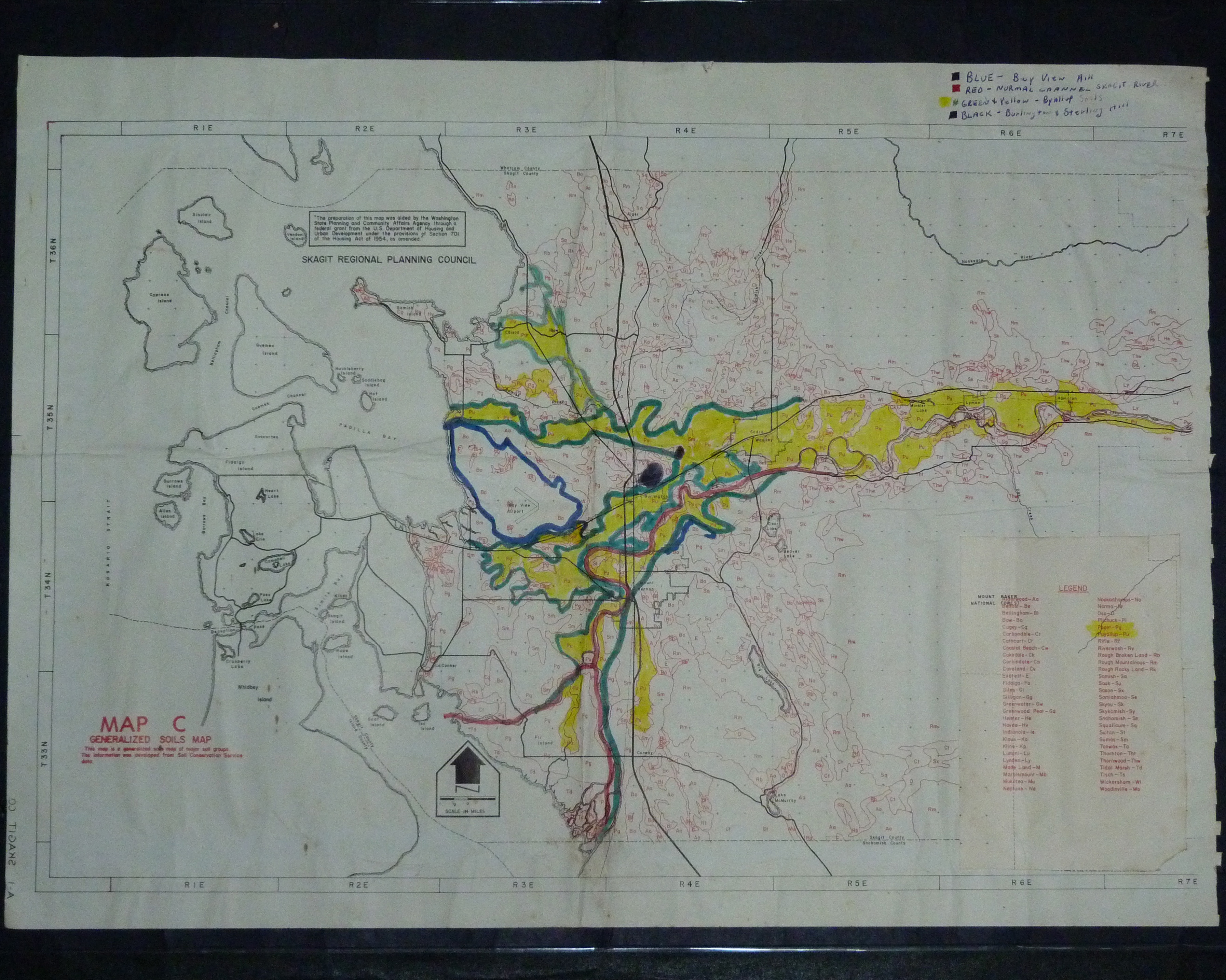
1973 Comprehensive Plan
Soils Map Shows the three historical paths of the Skagit River. |
||
| 100-year Floodplain Simulations | |
 |
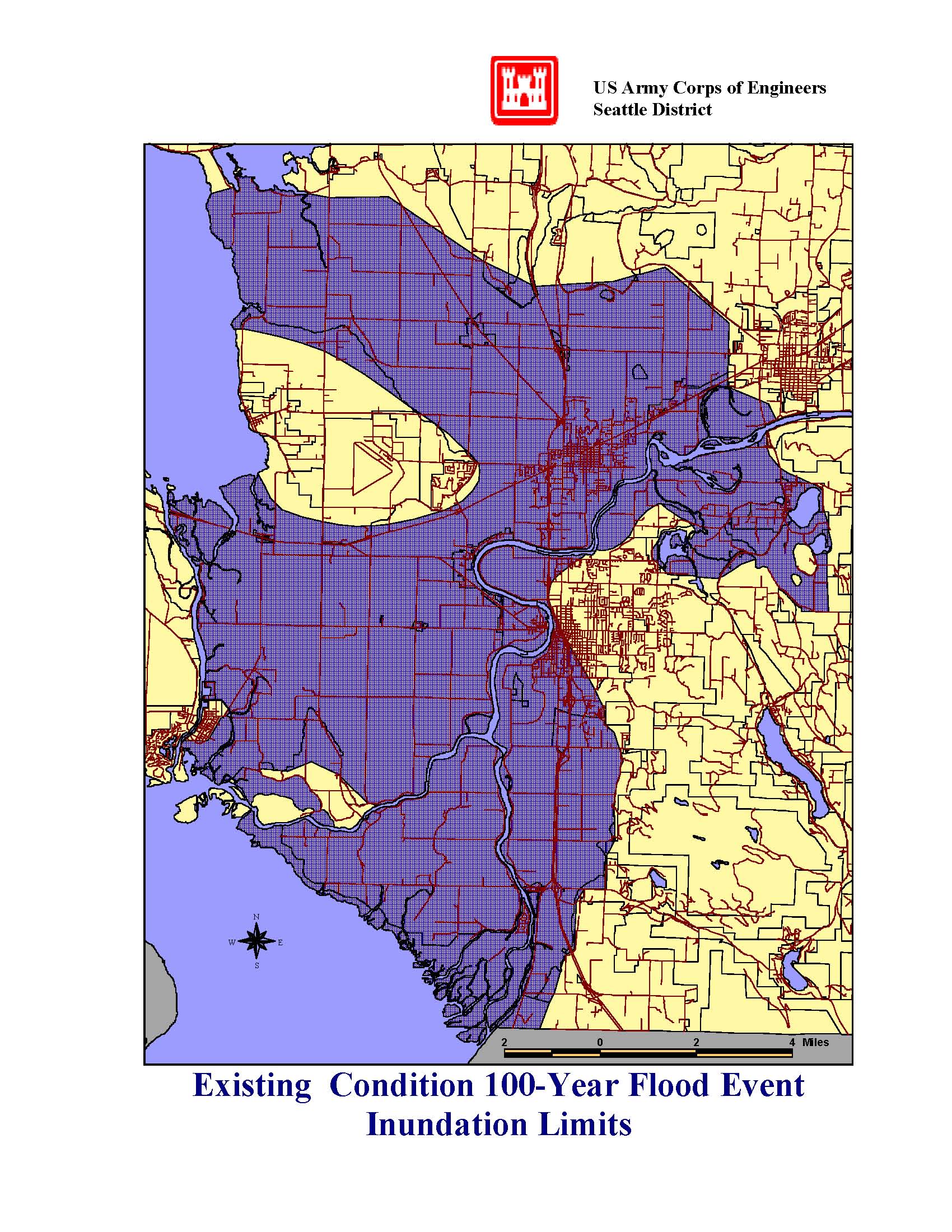 |
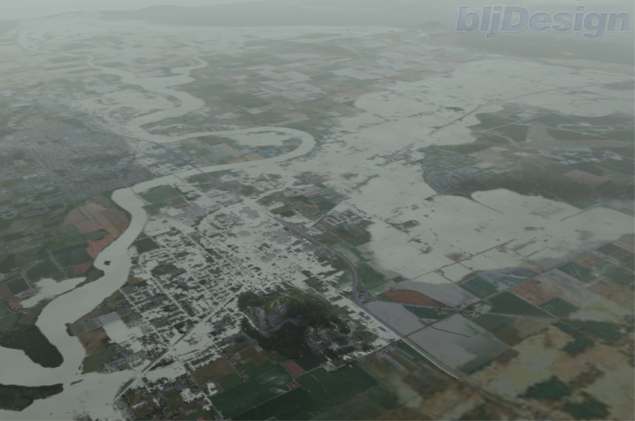
| Skagit County Public Works Department aerial depiction of 100-year flood from Burlington to Mount Vernon to Padilla Bay | Corps of Engineers 100-year floodplain map |
If you have any pictures of your own, especially of historic floods, electronic or not - please e-mail the webmaster so we can post them to the website. We will give credit to the donor, unless requested otherwise.